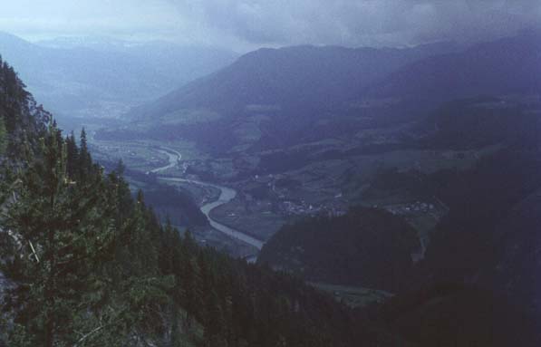
Pongau Valley from Near Werfen

Werfen, Austria

View from the cable car station above Werfen as we prepared to ascend to the entrance of the ice caves, Eisriesenwelt (The world of the ice giants).

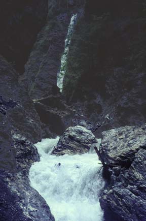
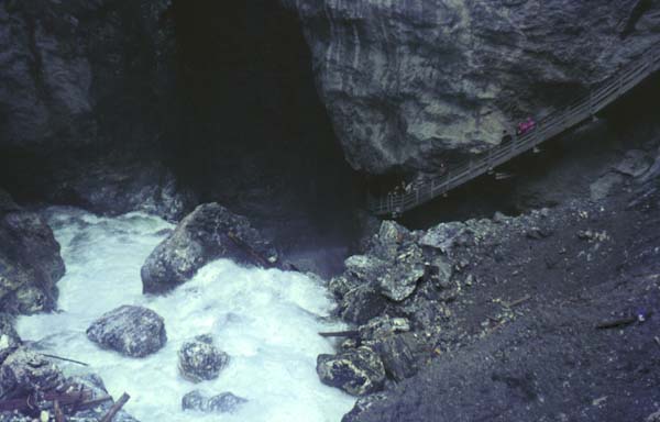
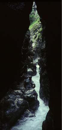
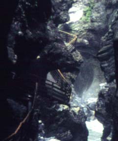
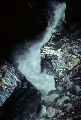
It started as a grey, overcast day but we thought we might be able to see the ice cave at Werfen just as well in bad weather as good. We drove to Werfen and enquired about a visit to the "Eisriesenwelt" (The world of the ice giants), the largest accessable ice cave in the world.

We drove out of Werfen about 10:30 AM and took the narrow mountain road to the cable railway station. The road was one-lane with a dirt surface, with steep inclines and hairpin bends scratching up the side of the mountain. We parked the car at the top of the road and after about a 10 minute walk reached the cable railway station. We could see the valley and the river far below, and the castle which sits on a small hill outside Werfen. There would have been much wider views, but it was cloudy and foggy. June 20, 1967

Index

Daily log
  Nave Album****Europe trip chronology Go Back


The Lichtensteinklamm Gorge

At the upper end of the gorge, at its beginning, a long waterfall dropped into the cleft. Just away from the foot of the falls, a huge boulder, perhaps 30 ft in diameter, blocked the water which went seething around it. Soon afterward it dropped over another fall of perhaps 40-50 ft and went rushing sown into the narrow part of the gorge.

We drove south to St Johann im Pongau and down to the gorge known as the Lichtensteinklamm. We parked the car and walked into the gorge. Wooden walks were build along the sheer rock walls at the edge of the gorge and crossed the stream on wooden bridges two or three times. June 20, 1967

Index

Daily log
  Nave Album****Europe trip chronology Go Back


Lichtensteinklamm Gorge

This is where the stream plunges into the narrow gorge just below the waterfall. Brenda is on the walkway seen at right, leading down into the gorge.

We drove south to St Johann im Pongau and down to the gorge known as the Lichtensteinklamm. We parked the car and walked into the gorge. Wooden walks were build along the sheer rock walls at the edge of the gorge and crossed the stream on wooden bridges two or three times.

The gorge started as a gentle depression with a quiet stream blowing through a nice green forest. As we proceeded up the gorge it got narrower, the walls became higher and the water increased in fury. Soon the gorge narrowed to about 30-40 ft and the walls must have been well over 100 ft high. At the narrowest points it was perhaps 25 ft across and you could not see the sky at all! The water was a raging torrent, often almost reversing its direction in its narrow, twisting path. It had carved strange patterns in the solid rock which formed its bed. June 20, 1967

Index

Daily log
  Nave Album****Europe trip chronology Go Back


The Lichtensteinklamm Gorge

Narrow catwalks took you beside the raging torrent. June 20, 1967

Index

Daily log
  Nave Album****Europe trip chronology Go Back


The Lichtensteinklamm Gorge

Near the beginning of the gorge. Wooden walks were build along the sheer rock walls at the edge of the gorge and crossed the stream on wooden bridges two or three times. The detail below shows the walkway, and one of the bridges can be seen. June 20, 1967

Camping on the Weissensee
Index

Daily log
  Nave Album****Europe trip chronology Go Back