View Northward from Grutchalp

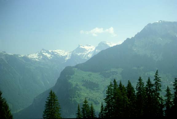
When we reached the resort village of Grutchalp on the top of the cliff almost straight over our campsite, we got this kind of view to the north along the valley. The slope seen to the right in the picture is across the valley on the cliff of the other side. You can see some of the outlying buildings of the town of Wengen on the opposite cliff.

We caught the mountain railway at Lauterbrunnen (altitude 796m, 2611 ft) at 8:45AM for the 11 minute ride to Grutchalp (1489m, 4884 ft), a rise of 2274 feet. We walked along the top of the cliff to Murren, 3 to 4 miles away. From the beginning of the trail we got terrific views of the mountains, including the Eiger, Monch and Junfgfrau. They were almost completely snowclad and so bright that you could hardly look at them. June 5, 1967
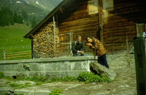
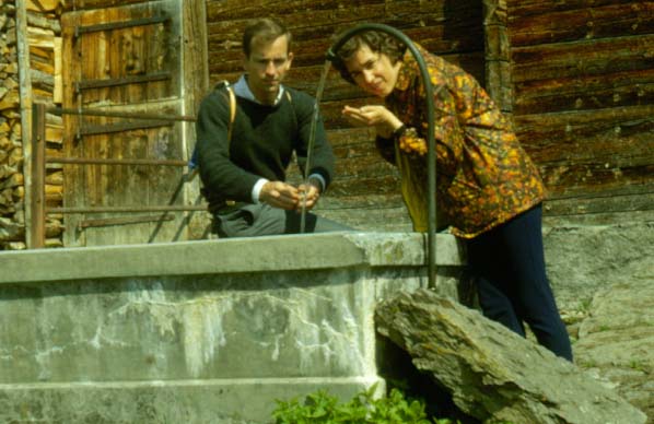
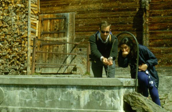
Index

Daily log
  Nave Album****Europe trip chronology Go Back


Rod and Brenda at Watering Trough

We found this setting along the trail along the top of the west cliff on the way from Grutchalp to Murren. There was pastureland up here and cattle, hence the watering trough, but we had no idea how they got the cattle up to the top of this cliff.

We took about two hours on the trail to Murren - surely two of the most memorable hours that we have ever spent. There was every variety of mountain scenery - green pastures dotted with flowers, green forest land with patches of snow, rushing streams with snow reaching to their edges, steep cliffs, and always the magnificent white mountain outline to our left across the narrow valley. June 5, 1967

Index

Daily log
  Nave Album****Europe trip chronology Go Back


Rod and Puya Mair Guzder

We found this setting along the trail along the top of the west cliff on the way from Grutchalp to Murren. There was pastureland up here and cattle, hence the watering trough, but we had no idea how they got the cattle up to the top of this cliff.

June 5, 1967

Index

Daily log
  Nave Album****Europe trip chronology Go Back


Rod and Brenda Near Cliff Above Campground

We found this setting along the trail along the top of the west cliff on the way from Grutchalp to Murren. The green slope behind us is in fact on the east cliff, with almost a 2000 foot drop into the canyon below us where we are camped. This canyon cannot be seen from this vantage point, but it lies between us and that slope in the background.

We took about two hours on the trail to Murren - surely two of the most memorable hours that we have ever spent. There was every variety of mountain scenery - green pastures dotted with flowers, green forest land with patches of snow, rushing streams with snow reaching to their edges, steep cliffs, and always the magnificent white mountain outline to our left across the narrow valley. June 5, 1967

The Jungfrau!
Index

Daily log
  Nave Album****Europe trip chronology Go Back