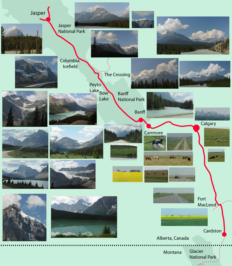
Jasper to Cardston
July 29, 2009
After a welcome break of about 30 minutes and a short hike at Peyto Lake, we were on our way again with a destination of Cardston.
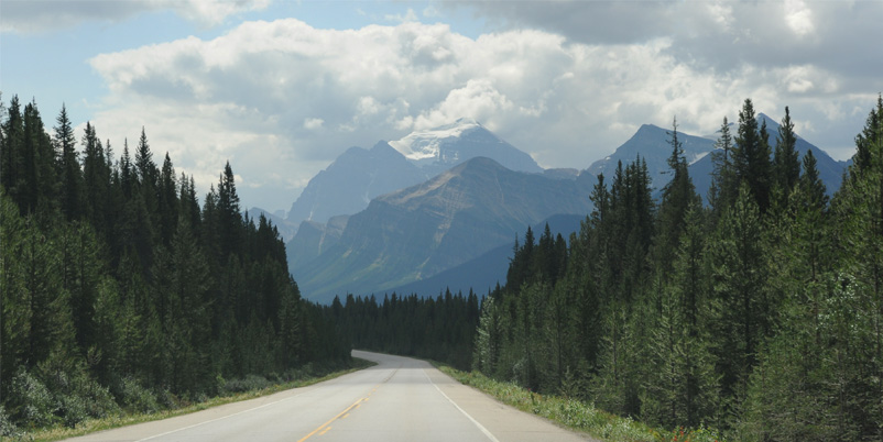
 | Stretching out on the open road with a distant glacier view. |
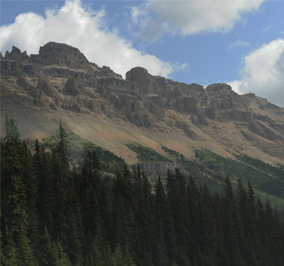
The forests climb up the sides of the mountains, but here there are signs that rock slides or avalanches have pushed back the trees. | 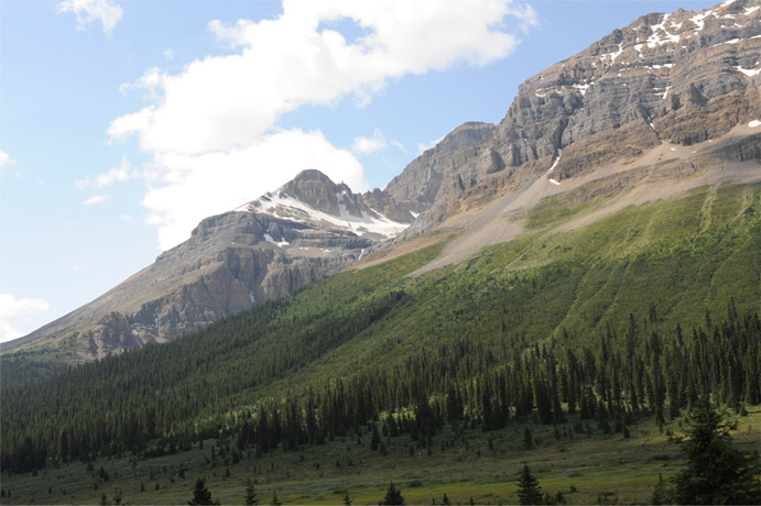 |
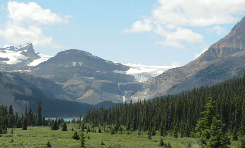
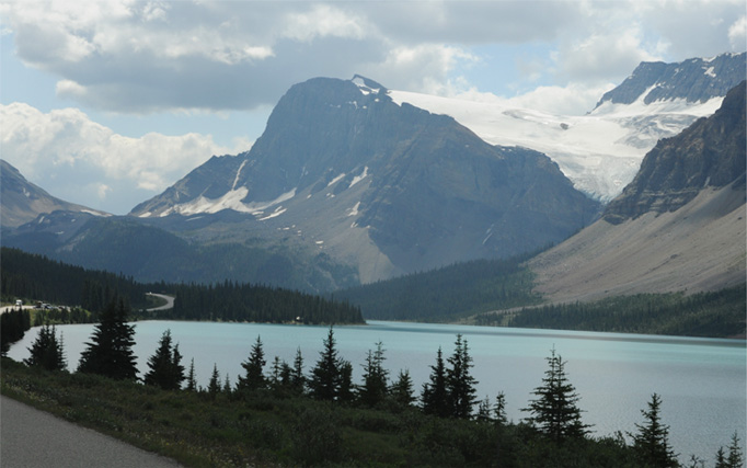 | We got a nice view of Bow Glacier and falls, and a glimpse of Bow Lake above. At left is a view of the road as it passes the south end of Bow Lake. |
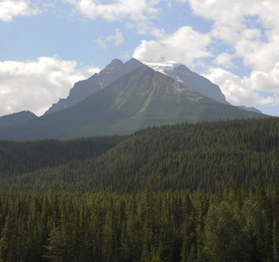
Another glacier with long fingers. | 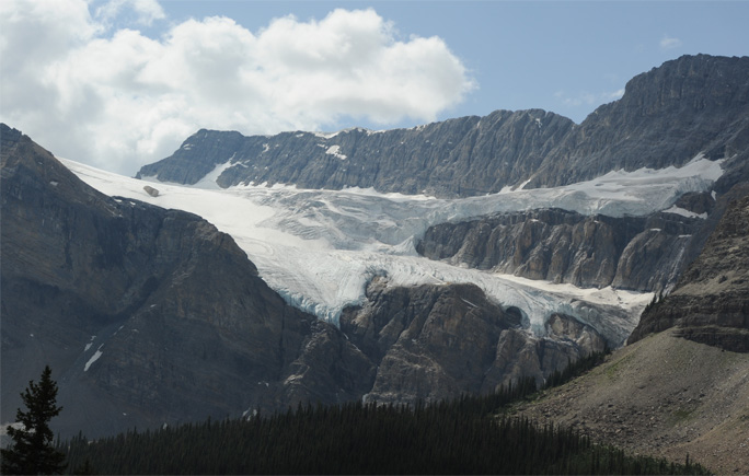 |
We continued southward through the Banff National Park, mostly following the Bow River valley. We had towering mountains on each side of us and fantastic forests.
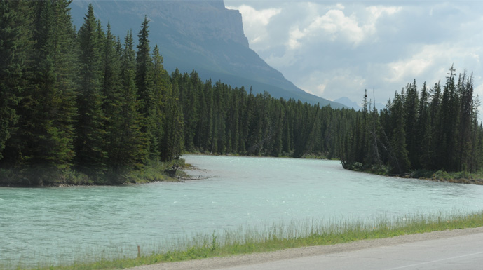 | We followed the Bow River past Lake Louise and then it switched sides to our left and we continued along it past Banff. |
| We made it to Canmore about 2pm, so we had covered the distance from Jasper in about five hours. We were all hungry so we stopped for lunch at the information center in Canmore. |  |
We were entertained by some magpies who were looking for snacks, and which were very dramatic in flight.  | 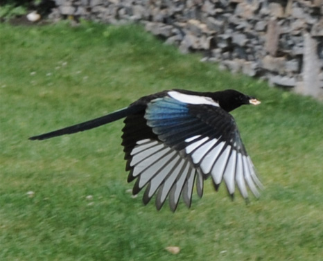 |
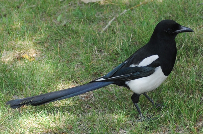 | We had seen magpies in other places, but certainly none which were as accustomed to human presence as these. |
After lunch we rolled eastward toward Calgary through rolling farmland. This was certainly a sudden change from the high mountains we had driven through this morning. | 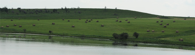 |
 | We were now on a full four-lane expressway in the open rolling plain. |
We zipped along on a highway that stretched to the horizon. | 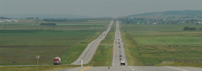 |
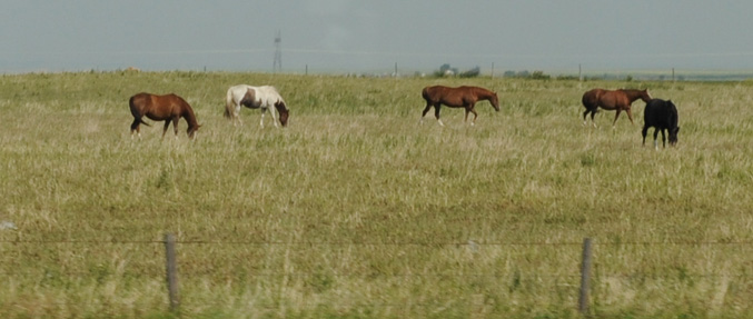 | It was nice to be out in the open horse country, with horses confined only by a barbed-wire fence. |
We reached Calgary about 3:15pm and skirted around it to the southwest. | 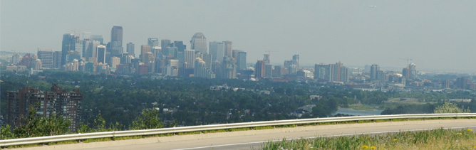 |
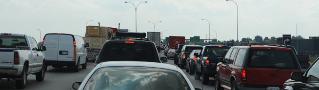 | Oops! Back to the realities of city driving. Hey, we didn't have to come to Canada to find this - we can find it in Atlanta or New Orleans. |
Ah! Back to open country. Much better to look at sheep on the hillside than the backs of cars on the expressway. It took us the better part of an hour to get around Calgary. | 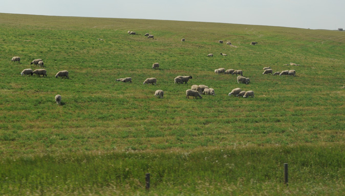 |
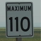
 | We are now on the wide open expressway headed south from Calgary. With the highway to the horizon below, Mark liked the speed limit sign. It was in km/hr of course. |
 | There were vast fields of the "yellow stuff", so they must have a great market for the mustard plant. |
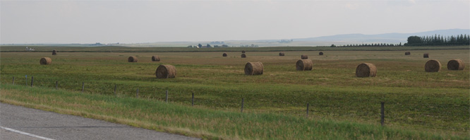
With pastures to the horizon, the area appproaching Cardston was very rural. | 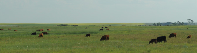 |
 | We were now south of Ft. MacLeod and down to a two-lane road, but it was wide open to the horizon and we didn't have to deal with much traffic. |
As we approached Cardston at about 6pm we passed by mustard fields so large that you saw yellow when you looked north from Cardston. | 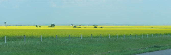 |
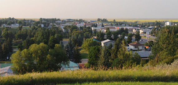 | This is a view of Cardston from the hill behind our motel. Months ago, Brenda had booked rooms for us there because it was a good staging point to the Going-to-the-Sun Road, and we knew nothing about the town. We found the Book of Mormon in our bedside tables instead of the Bible. Jeff found a small LDS Temple in the center of town so we came to understand that it was an LDS town. I found that the temple building was dedicated in 1923. The temple was founded in 1887 by Mormon settlers and was the first temple constructed in Canada, and in fact the first outside the United States. It was declared a Canadian historic site in 1995. The town of Cardston was very clean and the people were friendly. |
|
Index
2009 |