From Denver to Moab
October 31, 2016
On Monday, October 31, we left Denver about 6:40am to drive to Moab with a plan to visit four National Parks and one State Park. We made it smoothly onto Interstate 70 west with the help of the GPS on Brenda's phone since the Garmin GPS doesn't include the Denver metro maps.

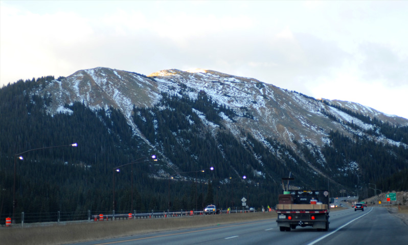
Moving along on I-70 at about 8am we encountered some snow on top of the mountains before we reached Georgetown. We were a bit surprised since everyone was talking about there being no snow yet.
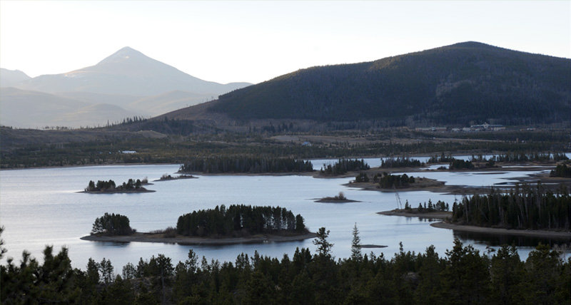
We stopped at a pullout about 8:20 just short of Georgetown to look at this attractive lake.
 | This is Georgetown at 8530 ft, so we had climbed quite a bit since we left Denver. There was some snow on the ski runs about 10 minutes further down the road, maybe Silverthorne or Vail. | 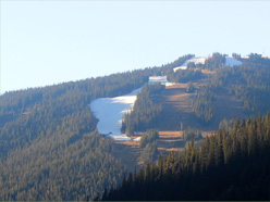 |
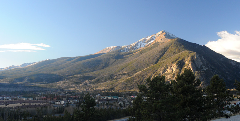
According to wiki, Georgetown was founded in 1859 as part of the Pike's Peak Gold Rush. It is in what is called the Front Range of the Rocky Mountains. Although founded during the gold rush, the town experienced its greatest growth and prosperity during the Colorado silver boom of the 1880s when it rivaled Leadville to the west as the mining capital of Colorado.
We stopped briefly in the Vail, Beaver Creek area, mainly in memory of Jeff's experience there. There was no snow on the mountains at this time, and we recall that Jeff was in snow before this date in the year that he worked out here.
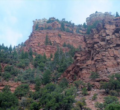 |  |
 | We drove through pleasant forested mountains for about an hour and reached these red rock formations about 10am. I liked the contrast between the evergreens and the red rock. |
The four-lane highway continued on sweeping curves through the geologic formations which now were a mixture of sandy-colored and red rock structures.
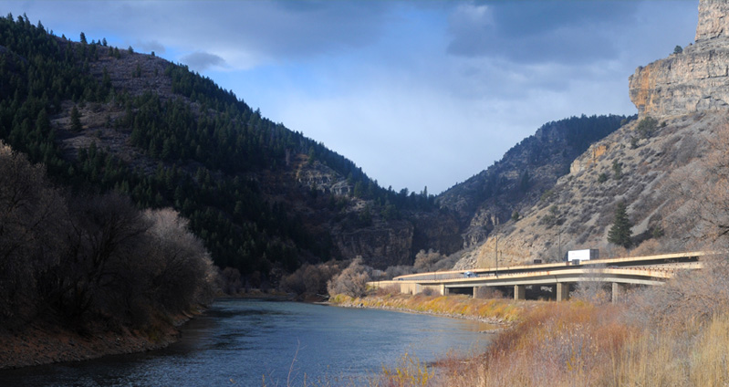
We reached Glenwood Canyon a little after 10am. We stopped at a rest stop to have a more careful look at the extraordinary road structures they built to follow the Colorado River through this canyon.
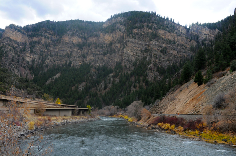
The two structures for the expressway were shaped in various ways on one side of the Colorado River and the railroad track was on the other side.
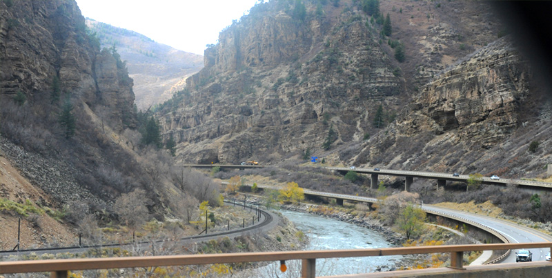
When you see all the creative structures that had to be built to get the expressway through this canyon, it makes you wonder what kind of memories linger with those who did the design and building of this road. We spent most of an hour in Glenwood Canyon, stopping at two of the rest areas there and walking along the river a bit. | 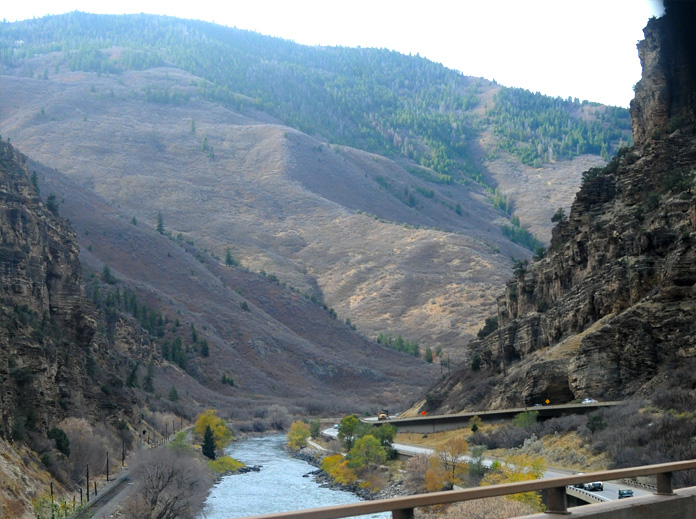 |
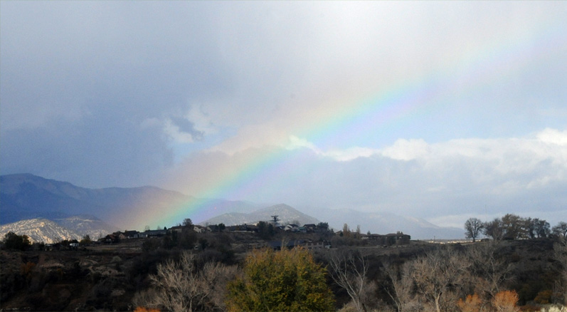
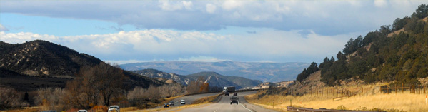
At about 11am we encountered some thundershowers and were blessed with a nice rainbow against the hills.
For the next hour, until about noon, we drove alongside the Colorado River at some distance judging by the trees we could see outlining its course.
About that time the road entered a flat area with this huge wall to the north of us. The dirt road goes out to the collection you can see, which appeared to be two camping trailers surrounded by tanks and junk.
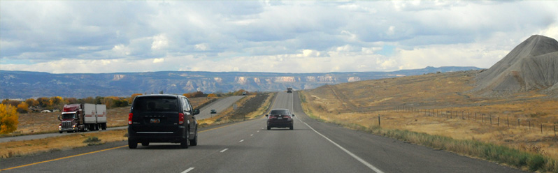
Crossing the Utah state line at 12:45 pm. Another 35 minutes of driving took us just across the Utah line, and there was a turnout to a viewpoint so we stopped to have a look. So this was our first view of Utah. Though dry, I found it very beautiful and refreshing. Note the highway we had driven in on just at the center of the photo, so we are looking eastward. | 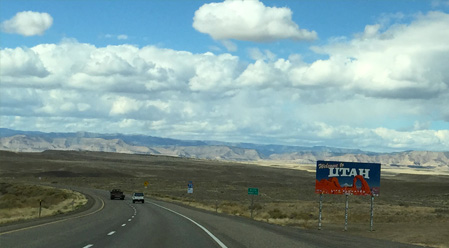 |
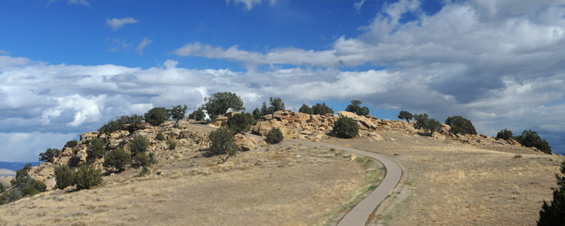
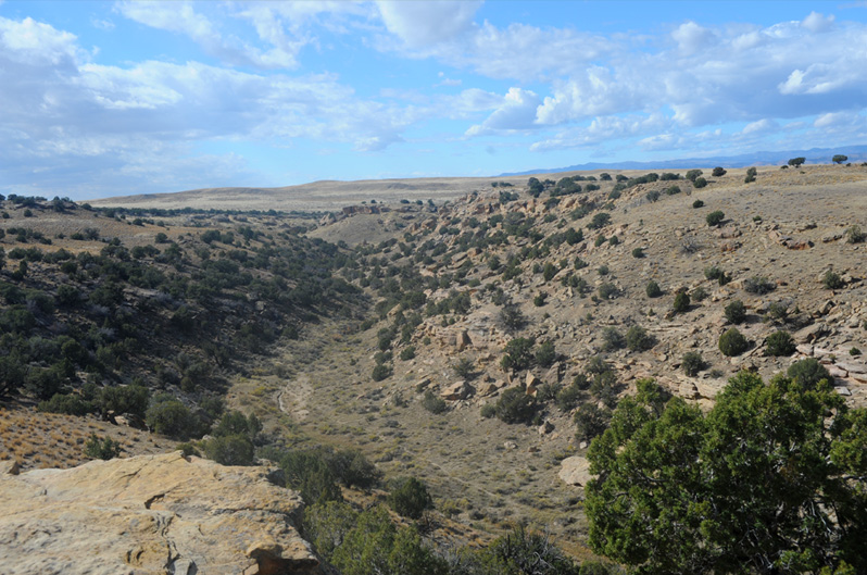
They had set up a viewing area on top of a hill, so I went up to see what I could see.
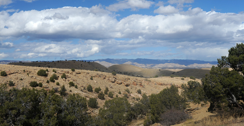
Swinging around toward the north, there were more plain sandy-looking humps that extended far into the distance.
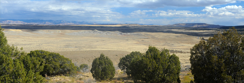
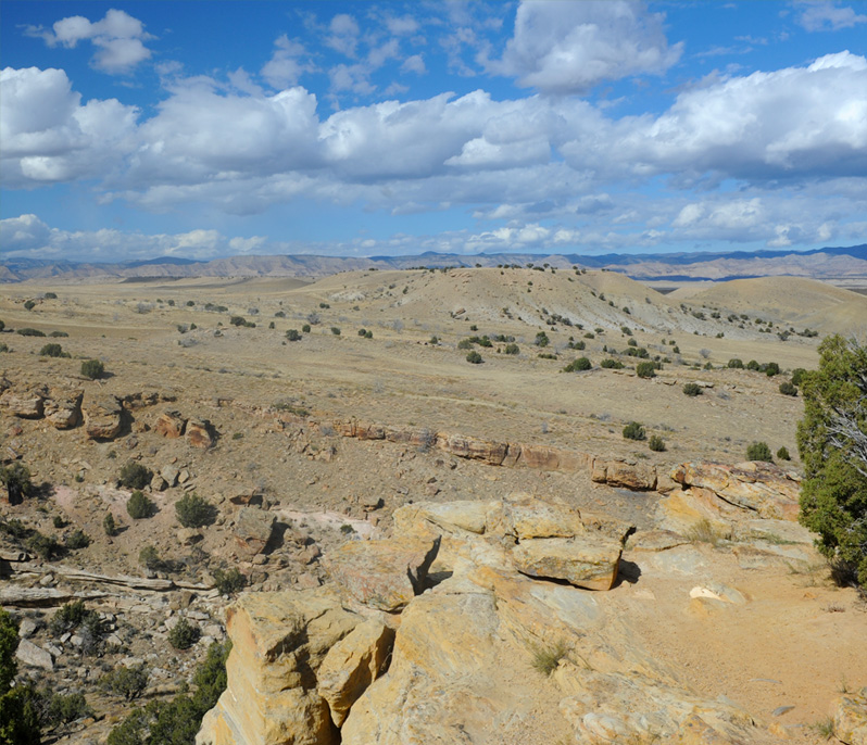
Having moved some distance to the north, this view of the roadway is more toward the southeast and you can see the expressway at the right end of the photo. What struck me here is the extreme barrenness of the middle distance formations.
The westward view was of a gulley which obviously carries water at some times.
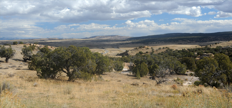
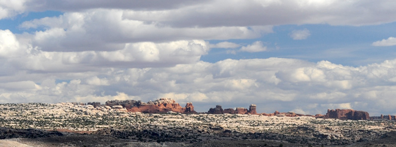
One final view roughly to the northwest, and I believe we have characterized this area of Utah, which I found quite attractive.

After driving another thirty minutes across the open desert of Utah, we were running beside this train in the distance.

Another reminder that we were in a different world - imagine taking a long train across this desert.
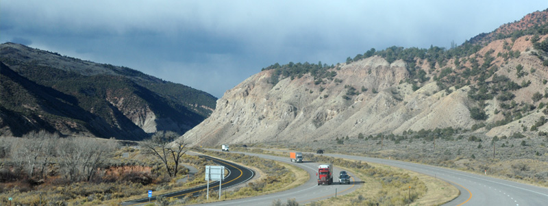
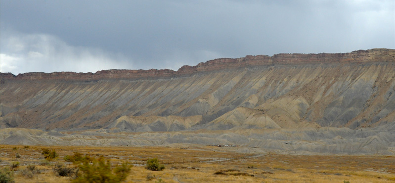
We stopped at Thompson for gas, not knowing what the gas supply would be like off the interstate. Shortly afterward when we were nearing the turnoff to Hwy 191 south, the character of the rock changed dramatically. We were seeing white and red rock, with column structures that contained both.
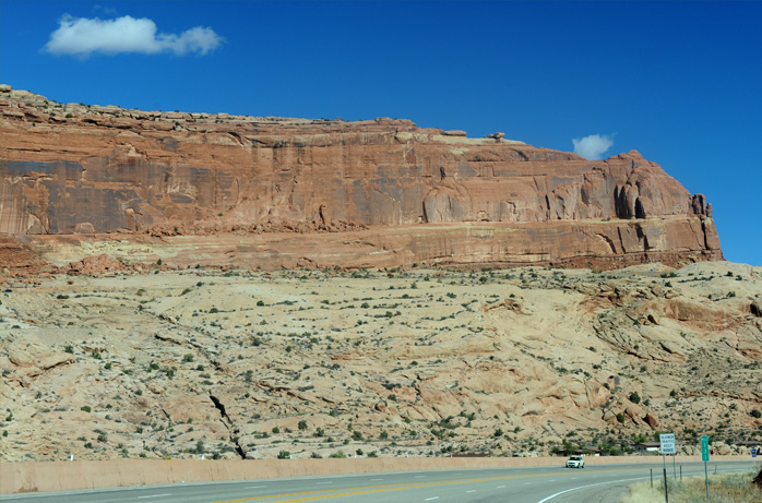 | Turning south on Hwy 191 at Crescent Junction, we found ourselves on a wide fourlane highway, testament to the growing popularity of the Moab area. We started seeing a lot of the red sandstone walls. |
On this fine highway, it was a quick 30 mile trip to Moab, reaching there about 2:15 pm. Moab is in the Colorado River valley and surrounded by red sandstone formations. We checked in at our motel and headed back here to enter Arches National Park. The path you see at the side is the bicycle path to Arches. |  |
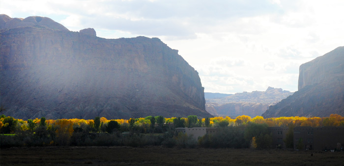 | You can see the path of the Colorado River through Moab here, but we never actually saw the river. You can just pick up its presence because that's the only place trees are growing. |
| Arches National Park |
2016