Akaka Falls
June 26, 2018
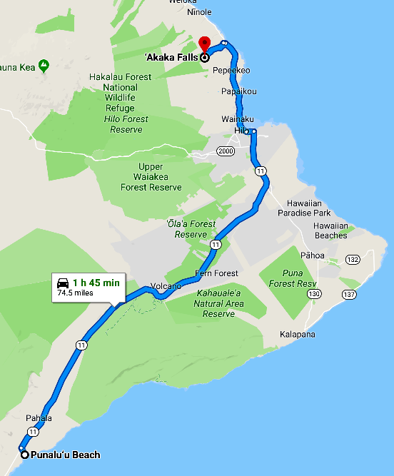 | After our very nice visit to Punalu'u Beach, we headed back toward Hilo and decided that we had time to visit the Akaka Falls north of Hilo. |
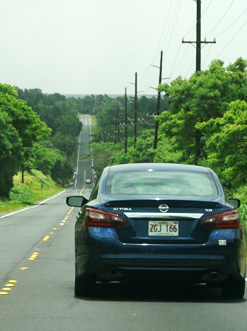 Reversing our route, we started from sea level, rose with the road to 5000 feet over the shoulder of Mauna Loa, and then returned to sea level at Hilo. We turned left on Hwy 19 (Hawaii Belt Road, Mamalahoa Hwy) which followed the coast for a while. We then turned left on Kaiwiki-Homestead Road to proceed to the Akaka Falls.
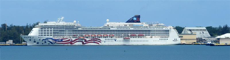
Along Hwy 19 close to Hilo there was a turnout where we could see our ship across the small bay.
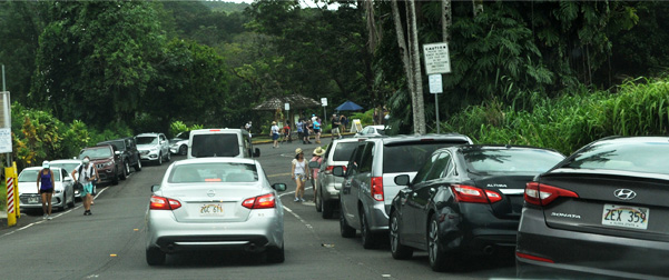 |
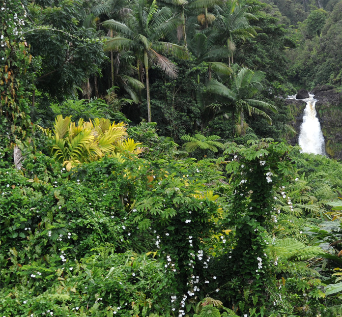
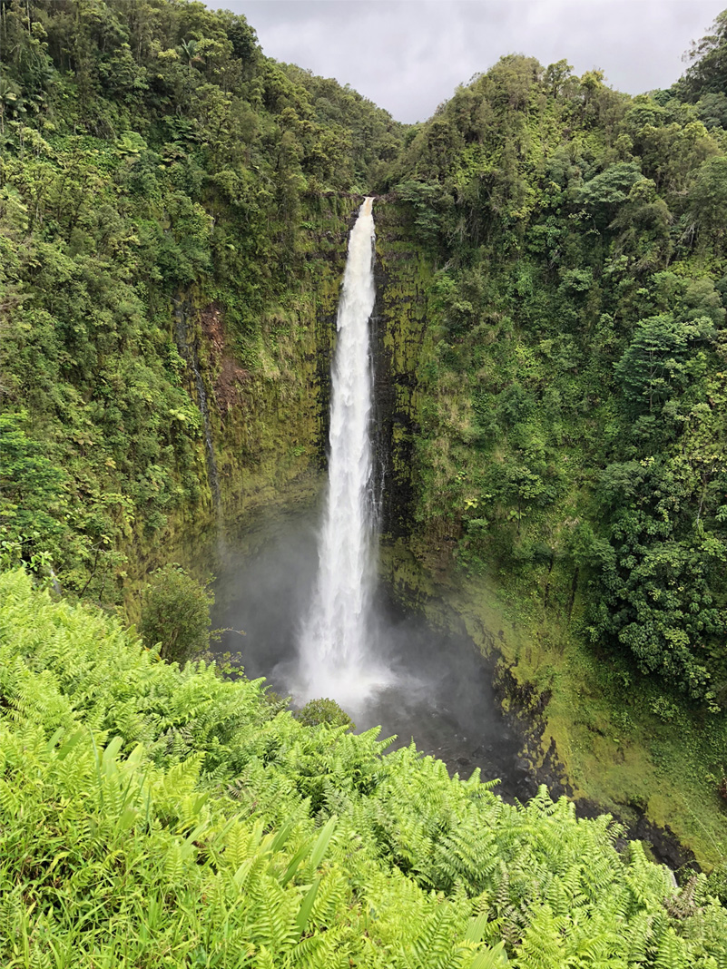
It was not very far to the falls, but when we got there at about 1:45pm, the parking lot was completely covered up. Jeff dropped us off and went back to park along the roadway, as many others had done. |
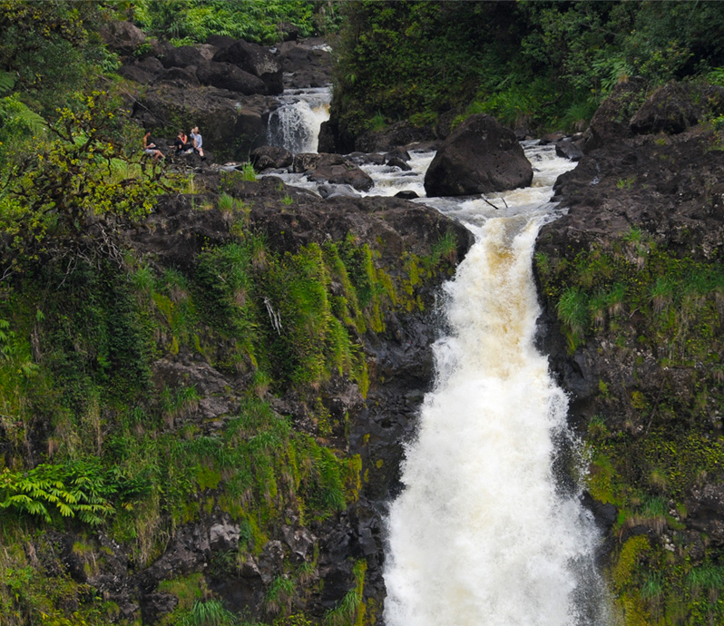
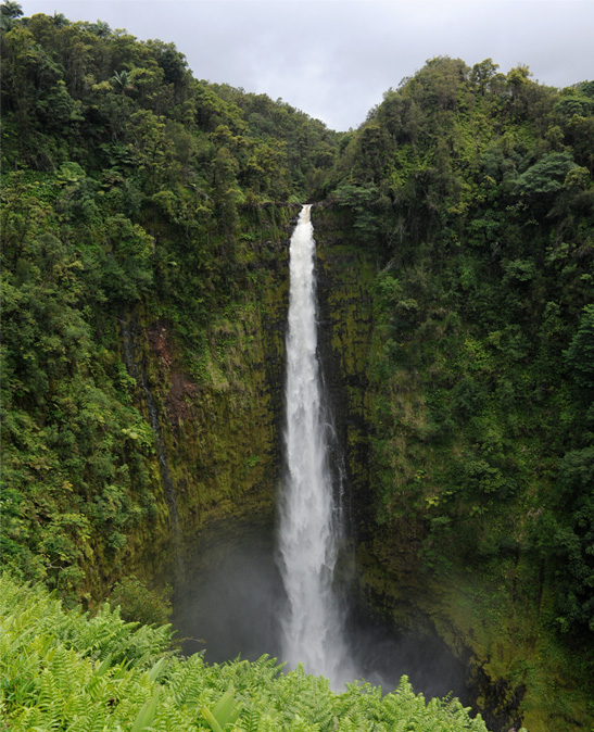
We got a very nice view of the falls from the parking area, and the telephoto view above showed that some had hiked to the top of the falls. |
 |
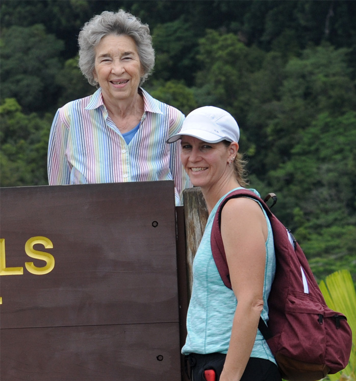 |
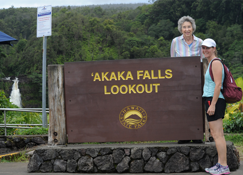
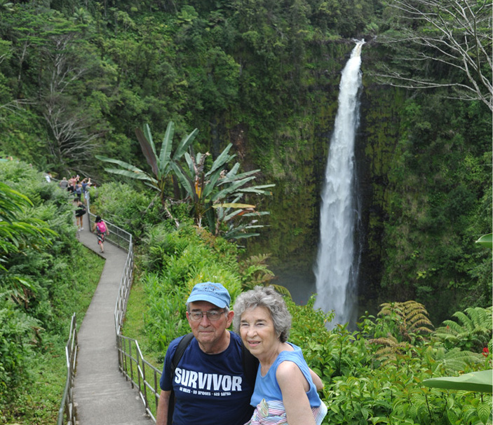
Brenda and Darla at the Akaka Lookout and Trail Head. |
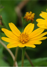
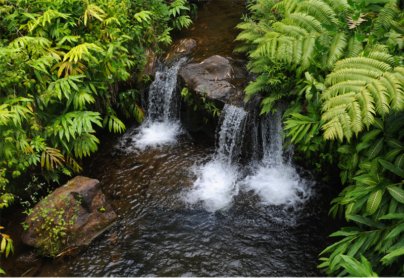
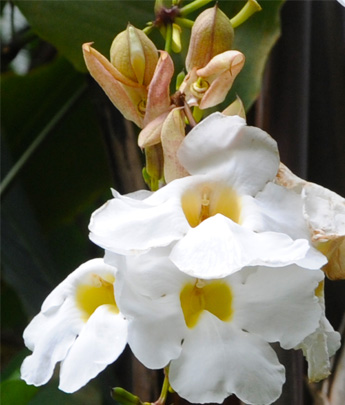
When we started down the trail, we found ourselves in dense flowering vegetation. |
 |
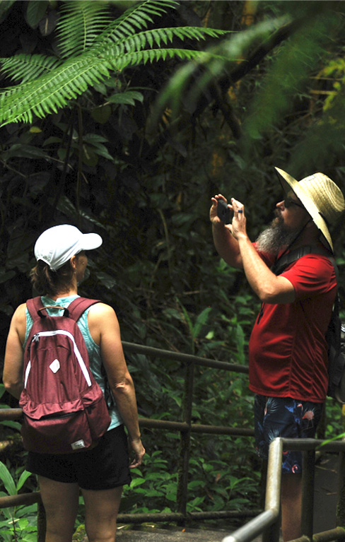
Jeff and Darla headed down the trail and found themselves in a jungle. 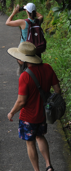 |
 |
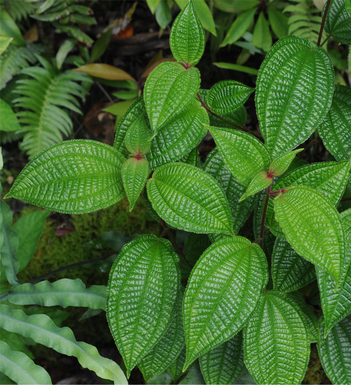 |
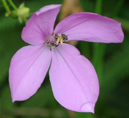
I was amazed at how dramatic this simple green plant was beside the trail. I was even impressed by the moss growing on vertical small plants in this rainforest environment. 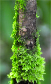 |
 |
 |
 |
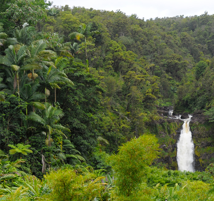
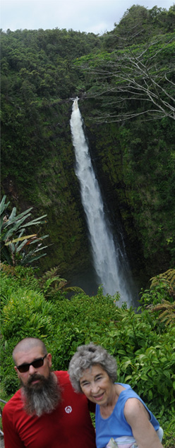
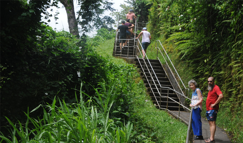
We traveled up and down many steps to get to this viewpoint of the Akaka Falls north of Hilo. |
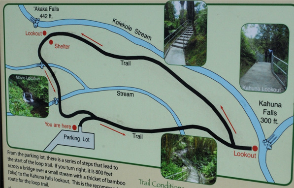 |
This sign display at the top shows the nature of the trail. Some of the data:
|
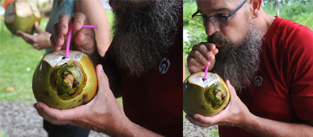 |
After he finished making his cuts, all you had to do was stick a straw in. |
 |
 |
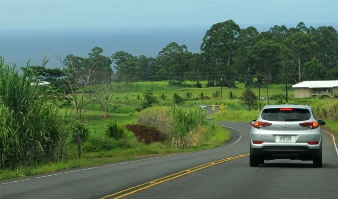 |
Leaving the Akaka Falls, we traveled downhill on the way back with a pleasant view of the sea. That shouldn't have been surprising since we started from sea level and went to the top of a 442ft waterfall, so we had to climb at least 442ft. |
The process of returning the Budget rental car at the Airport and getting the shuttle back to the ship went very smoothly, so we were much more impressed with Budget's service than with Enterprise. We relaxed on the ship for dinner while the ship left port to travel around the south end of Hawaii.
When we left Hilo, the ship traveled southward and around the south coast of Hawaii and put us in position to see the glow of the volcanic activity. After dinner, we went up to Jeff and Darla's stateroom which was on the starboard side toward the shore and also had a nice balcony that we could watch from.
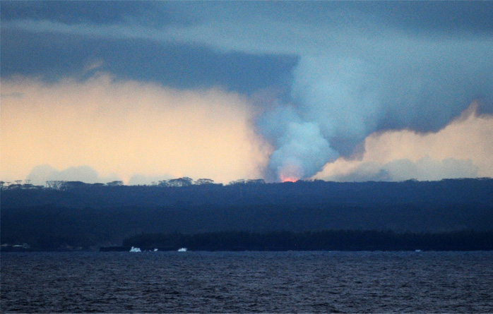
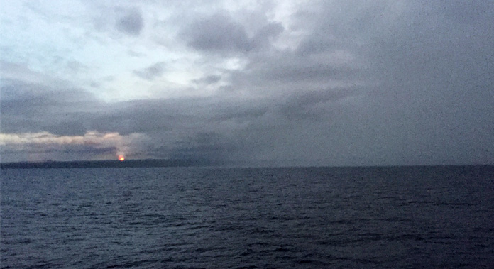
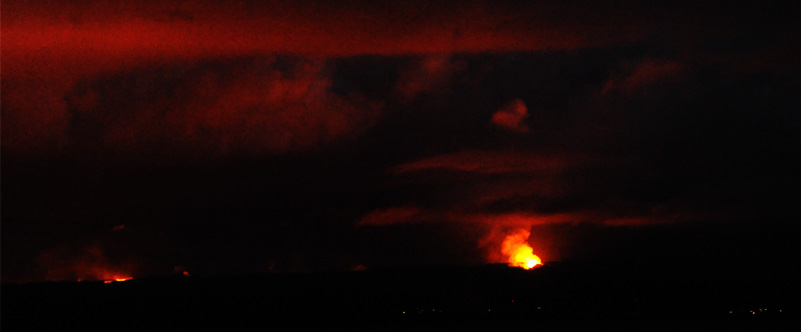
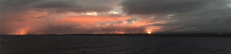
At about 6:50pm we came into view of the volcanic plume. It was surprising to me, since we were probably several miles from it, and we hadn't been able to see anything except a broad diffuse cloud from Hwy 11 earlier today. |
 |
 |
Brenda captured this interesting perspective with her phone. Note the dense horizontal smoke/vapor cloud at a certain height above the volcanic activity, moving to the left. |
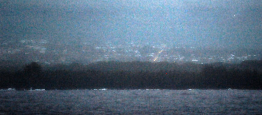 | We lost the view for a few minutes as cloud covered the coast. When we began to see the glow again I noticed this string of lights and found that it was a string of car headlights coming toward shore in this town on the coast. There were lights in the houses, so there are people living on the coast between us and the most active area, which I presume to be Fissure 8. 7:07pm. There were several small boats out on the sea between us and the shore. |
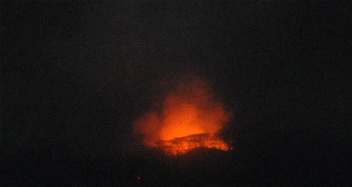
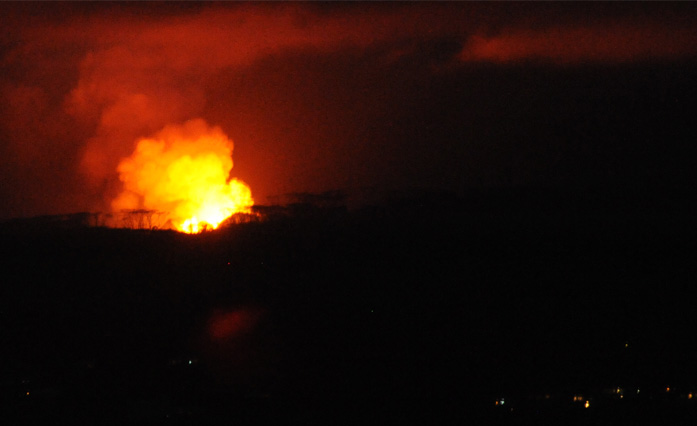
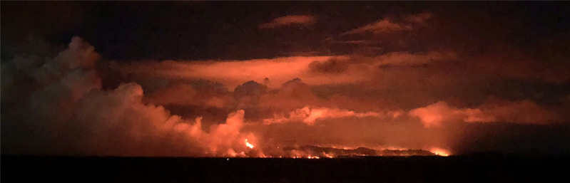
This view of the brightest glowing site was at 7:20pm. The structure seen in the lower part of the glow is tree silhouettes - note the similarity to the tall tree images in the plume photo above. |
 |
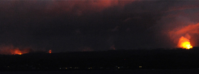 | At 7:33 pm the sky had darkened enough that we could clearly see three bright spots on the horizon. We could also see a distribution of lights along the shore, so there were people hanging in there even though they had this angry earth behind them. |
You had to wonder about the state of mind of the people in these shore houses if they could see the outlines of the trees against the glow like we could. Of course, being on the shore, they could quickly get into a boat and flee. |
 |
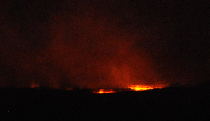 |
The details of the other visible site were much less definite, but it appeared to cover a larger area. |
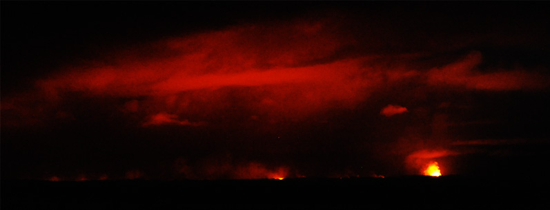
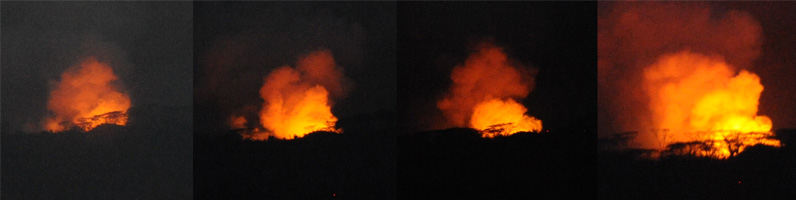
At 7:45pm all visible sky light other than that coming from the molten lava was gone. So at that time you could see a significant glow between the two brightest ones, and several dim glows off to the left of the image. So the volcanic activity is affecting a large area.
This trip around the south end of Hawaii was not a part of our original cruise agenda, so we were appreciative of the initiative of the cruise organization to provide that experience for us.
We settled in for the night while the ship moved on toward Kailua-Kona and our second day on the Big Island.
| The Kona Coast, Hawaii |
2018