Maui and Haleakala National Park
June 24, 2018
The cruise ship traveled during the night to Kahului, Maui. Jeff and Darla's cabin was on the starboard side and he got an early view of Kahului as we approached. | 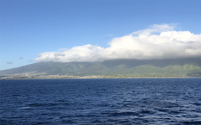 |
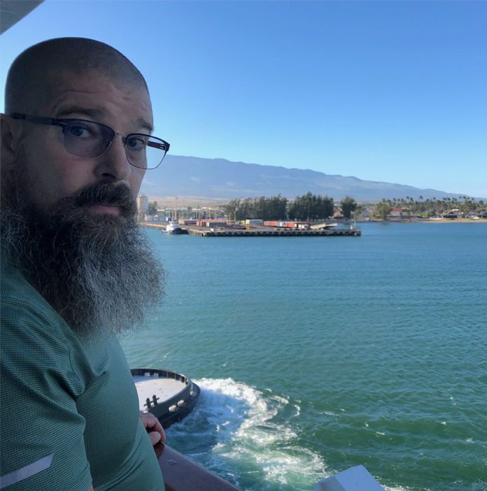 | Jeff and Darla got up probably earlier than us to exercise, so Jeff was at the rail to watch the tugs in operation for docking. |
Brenda and I were sitting in the nice Skyline dining room having breakfast when the ship moved in to dock in Kahului. 8:25am. |  |
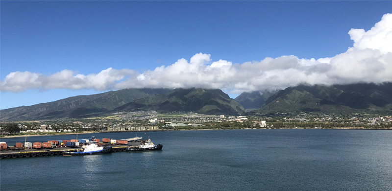
| Kahului was very pleasant as a first destination on our ship journeys. It is a sizable city on the north shore with population 26,000 in 2010 compared to 144,000 for the whole island. The population of Maui is third among the islands after Oahu and Hawaii. | 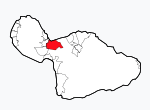 |
As we found to be usual, the cruise ship dock was close to the freight handling docks. I found the freight handling very interesting. | 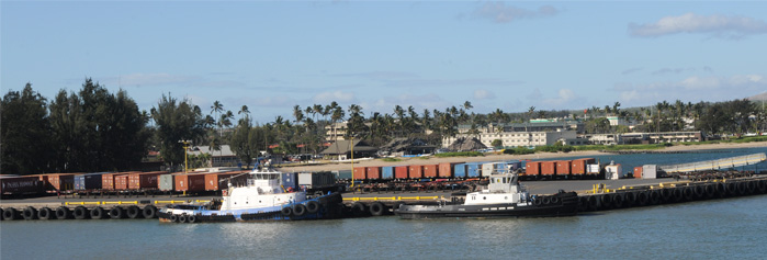 |
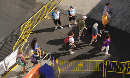 | The docking process was quite efficient and the gangway was open at 8:30 for people to leave the ship. We exited to a large warehouse, and on the far side of that warehouse were the buses for tours, taxis, etc. |
My tentative plan for the day was to rent a car, travel to Haleakala Crater, and then do the loop around the east end of Maui through Hana. That plan led to a long and adventurous day, mainly because I had not adequately researched the nature of the road along the south side of Maui. I had reserved a car with Enterprise, which did not pick us up at the ship (despite their advertising slogan), but it was a half mile walk so I had planned for Jeff and I to walk there. That worked, except that the half-mile neglected the fact that it was a half-mile from the ship to the port entrance. Then there was the laborious process of bringing the rental car through multiple security points to get close enough to the ship to pick up Brenda and Darla. Once all that was accomplished, we were outside in Kahului and free to explore. | 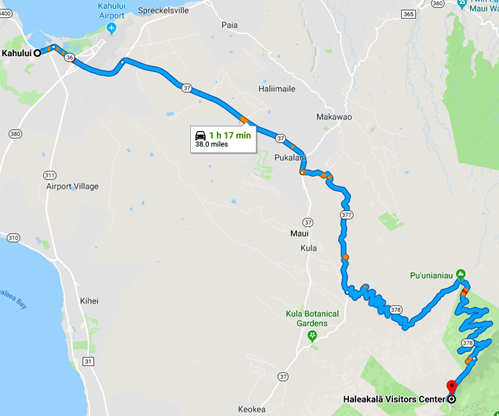 |
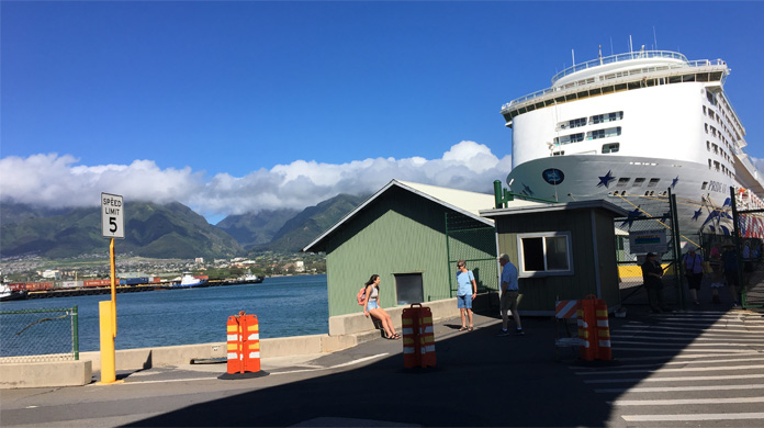 | This is the docking location in Kahului. On returning to drop off some of us, we had to go through 4 security checkpoints, the third one shown here at the little shed. The last one was an airport type checkpoint where we put our bags through the equipment. |
Kahului was pleasant and open, and the weather was nice. We made a stop by Walmart for food and supplies and were on our way down Hwy 36 toward the east side of town. This was a fine highway which led to the airport - we would encounter very different highways later! We are headed up that green mountainside to the cloud level and above! We are on the open road at 10:20am. | 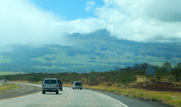 |
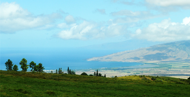
About the time we turned onto Hwy 377 for the climb to Haleakala, we realized that we needed gas. The car had been given to us with less than half a tank, and it was now clear that there weren't many gas stations out here. Darla guided us with her phone down a steep winding road to this little hardware store and gas station, which may have been the only source of gas out here! This was very fortunate, because I don't remember seeing another gas station the rest of the day! And the gas was not expensive. This was apparently a working agricultural community on the side of the mountain and everything showed reasonable and practical care. | 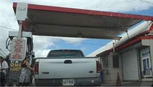 |
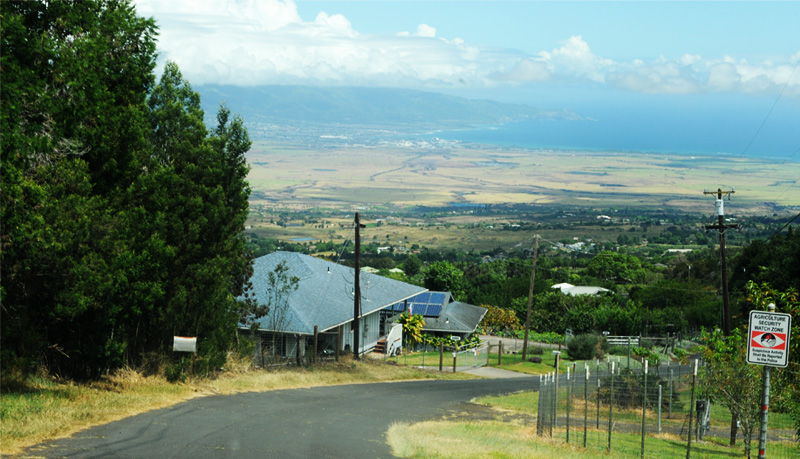
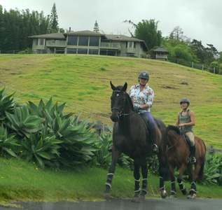 | I snapped off the picture because of the horses, but now I have another agenda. Note that the house above is nice and well maintained, as was characteristic of this entire area. The picture is that of a modestly well-off community with an agricultural agenda. As an old farm boy from Arkansas I have a strong prejudice in favor of hard-working farmers. The larger picture above is toward the southeast coast of Maui, which we were to travel later in the day. In fact the squiggly road shown is almost certainly the road we traveled. |

We are climbing steeply on a road that is nicely maintained, but very steep and twisting. You can see houses well below, which may be the place we bought gas. | 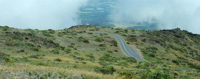 |
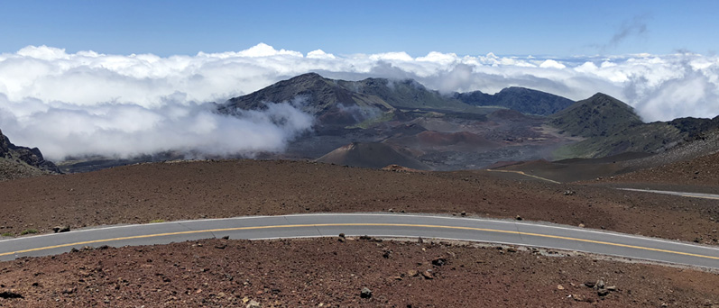
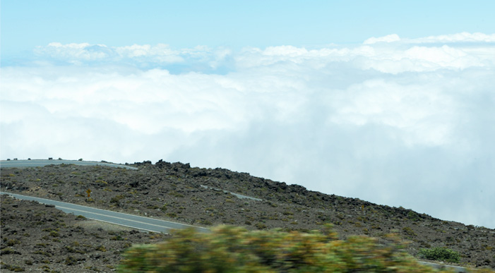 | The road is now a set of great sweeping switchbacks through jumbled volcanic rock. And note that we are now above the cloud level! |
We catch sight of the observatory structures and we know that we are nearly there. | 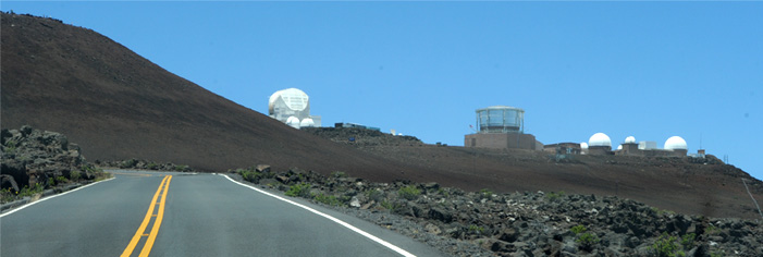 |
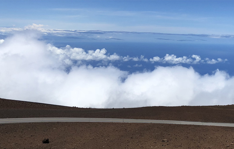
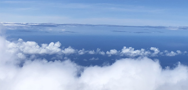
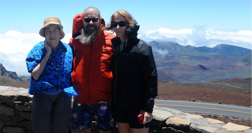
 | Haleakala Overlook, Haleakala National ParkBrenda, Jeff and Darla at the 10,000 foot altitude of the Haleakala Overlook. We reached there at about noon, so the journey from Kahului took us an hour and a half including our gas stop. |

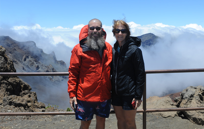
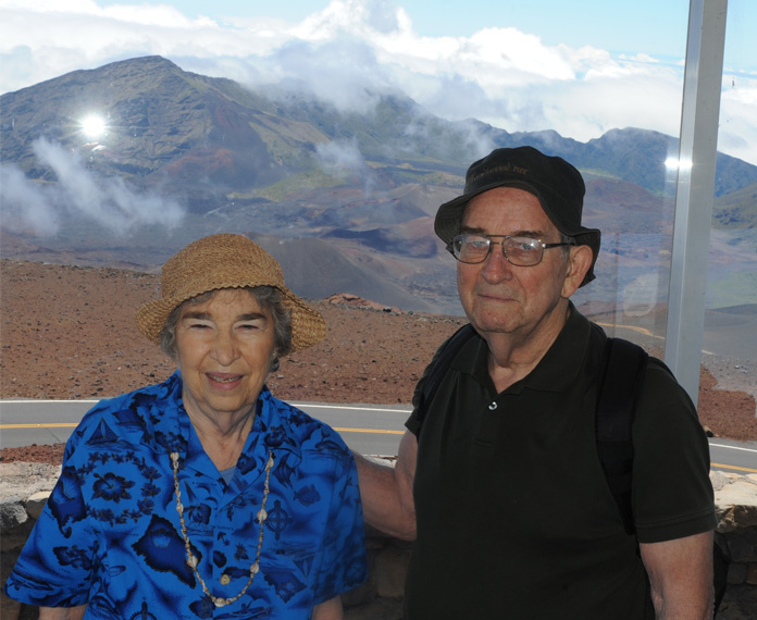 | Brenda and Rod hanging around in the enclosed lookout area. |
We hiked over to this open viewing area after having a look from the formal Lookout. | 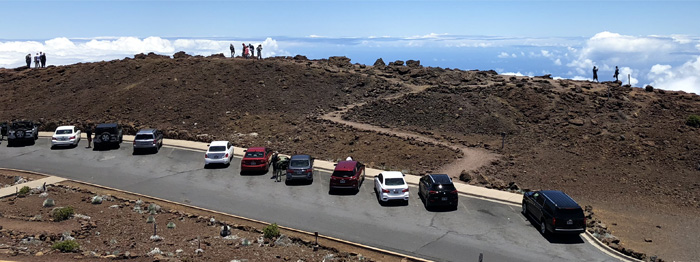 |
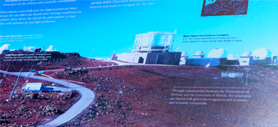
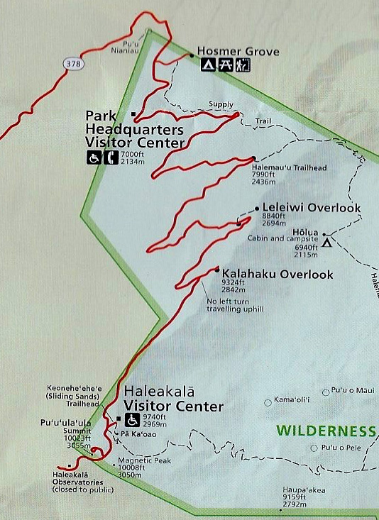
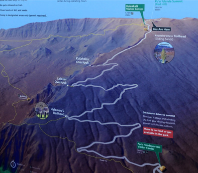 | They had some nice poster exhibits. The one at left shows the road that Jeff has just driven up. Below shows the layout of the observatory complex. |
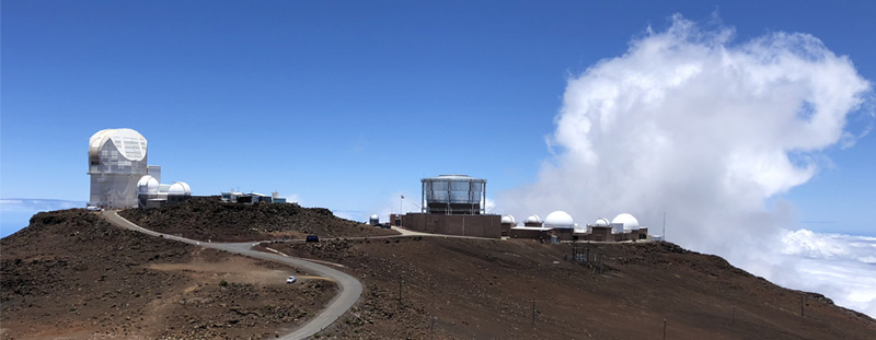
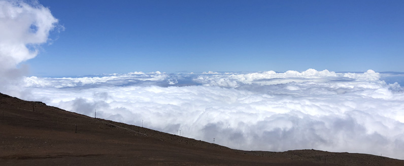
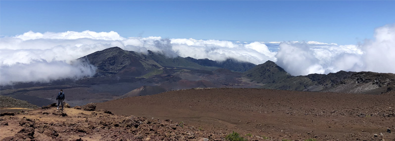
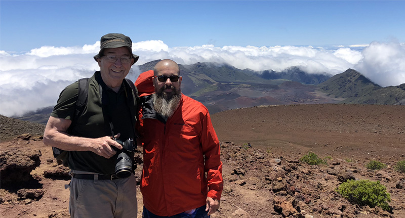
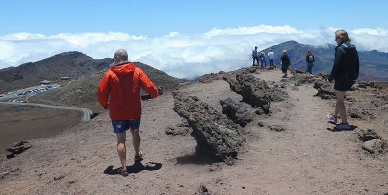
Jeff and Darla were over at the open observing area at cloudtop level. | 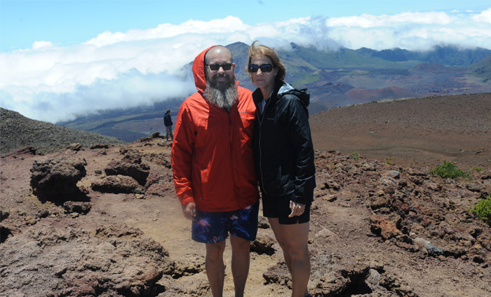 |

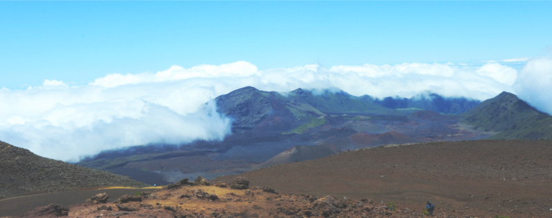
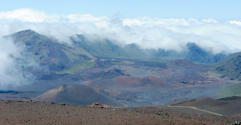
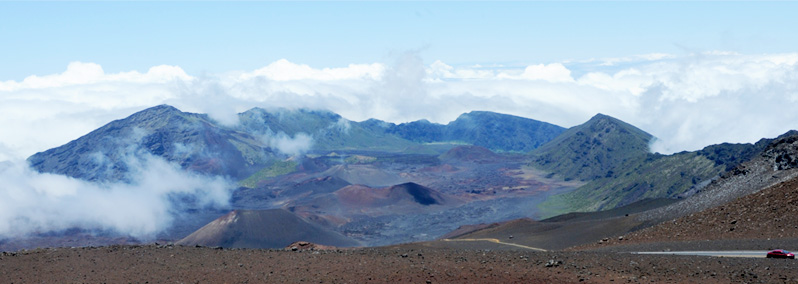
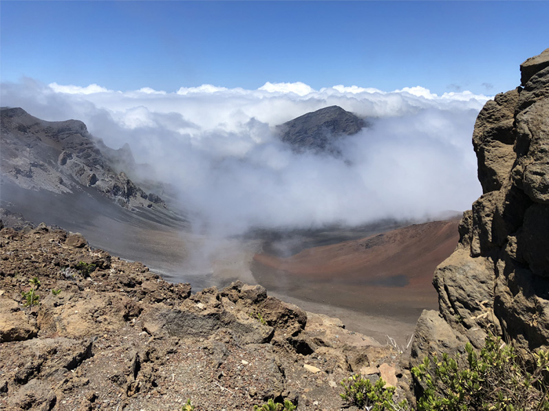
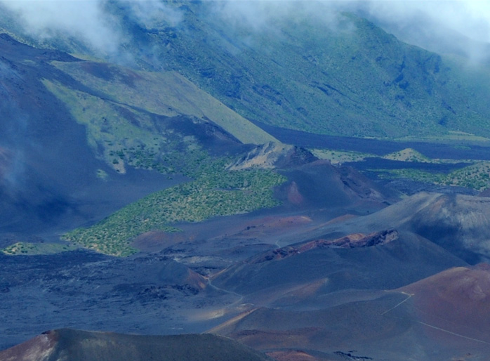 | The above view of the crater shows one of the hiking trails leading into the valley. Zooming in at left shows part of the trail down below. |
The silversword plant is one of the unusual plants growing in the volcanic rock. 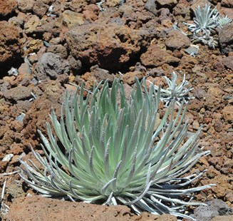 | 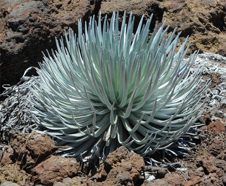 |
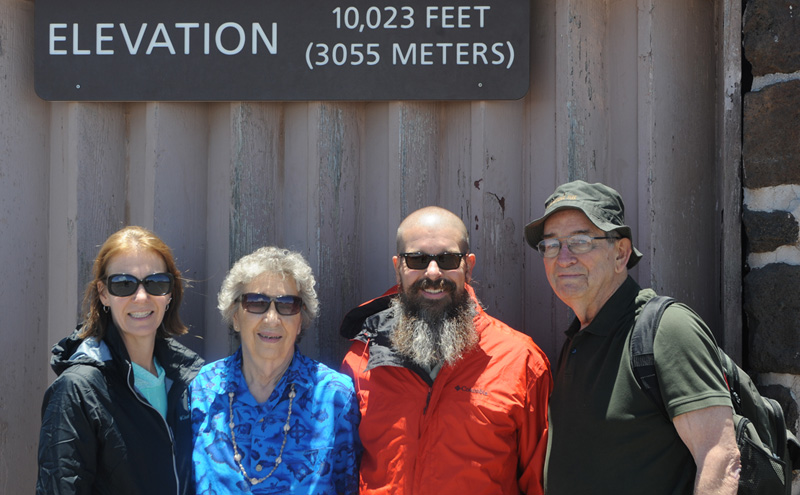
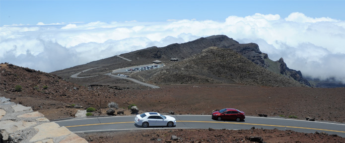 | There was a lower parking lot that gave access to a trail out into the crater. It was also above the cloudtop level. We walked out to the trailhead to get the view of the trail below. |
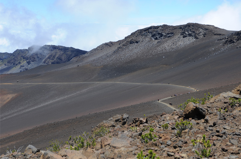
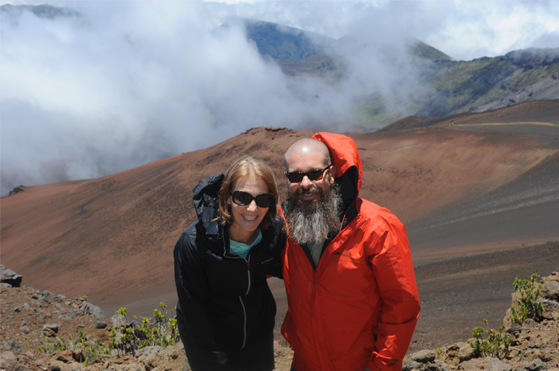
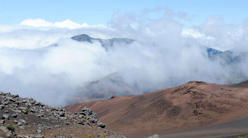
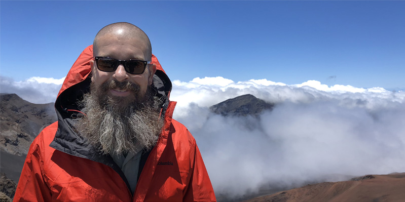
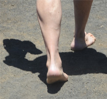
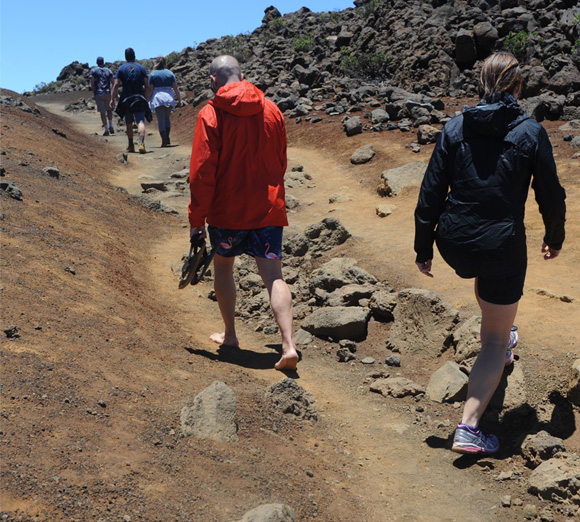 | 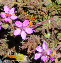 As we walked back out the trail, Jeff was the only one I saw doing it barefoot! |
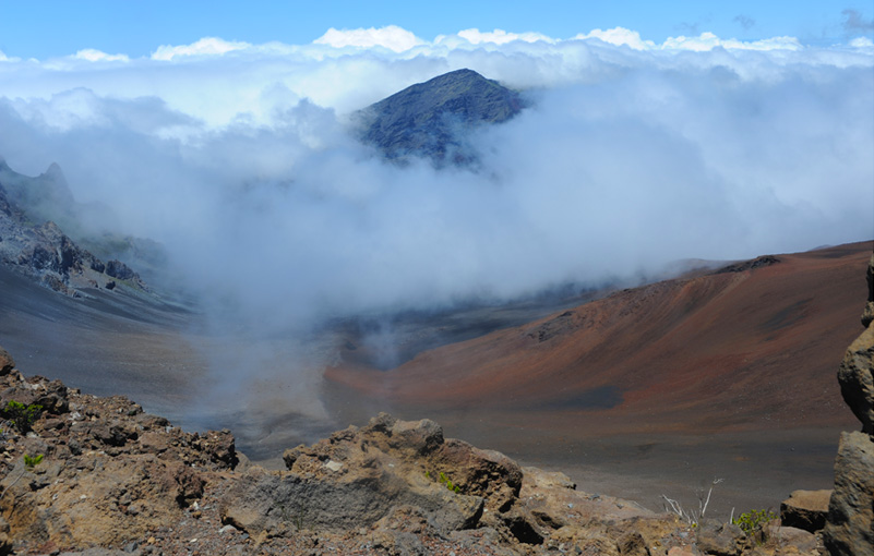
On the other side of the parking area Brenda gets a different, and windy, view of the valley and clouds. | 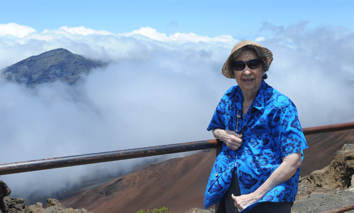 |
| Toward the southeast coast of Maui |
2018
