From Dunnigan to Atlanta
August 9-10, 2012
On the morning of August 9 we had a nice breakfast at Heidi's in South Tahoe and headed for Sacramento and Dunnigan. Lake Tahoe is in a bowl with high mountains all around, so we climbed up to a high mountain pass and then had a long downhill road toward Placerville. We checked back in at the Hacienda Motel, just a block from Wanda. In the afternoon, we headed out for Vacaville with Wanda and Becky in the "Enterprise", the name we have given to Becky's hi-tech new Honda Odyssey. We had a nice dinner at Outback in Vacaville to continue the birthday celebration with Wanda.
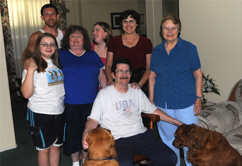
We were pleased to again be able to visit with Mary and John and family in Vacaville. We took another group picture with Danielle, Roy, Becky, Dasha, Mary and Wanda with John seated with the two family dogs.
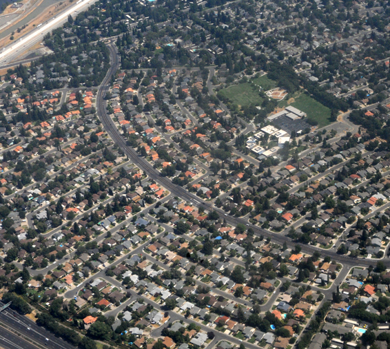 | The neat residential neighborhoods of Sacramento were quite a contrast to the open farmland we had been in for the past few days. We went over to Wanda's for breakfast on Friday, August 10, and to say goodbye to Becky and Sheree. We headed for the Sacramento Airport and turned in the rental car. Everything went smoothly and we lifted off from Sacramento at about 11:30 Sacramento time. |
After 12 minutes of flying time, we were flying past the south end of Lake Tahoe, when it had taken us two hours yesterday over the winding mountain road near Tahoe. The road had to go through those mountains at the bottom of the picture. | 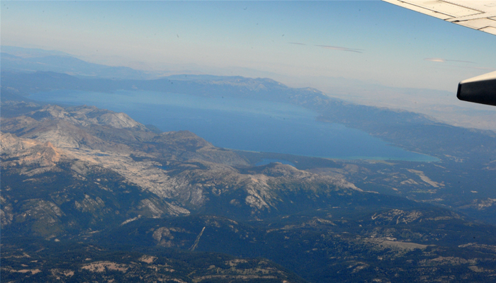 |
 | It was interesting to see Lake Tahoe and the Carson Valley of Nevada just across the mountain from each other. With the high mountain ridge between them, you usualy see one or the other. We had seen both when we were up on the ski lift from South Tahoe. |
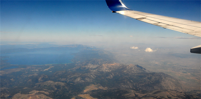
It was a relaxing trip across the west, with interesting cloud formations to watch. This was a half hour into the flight, so would be Nevada or Arizona. | 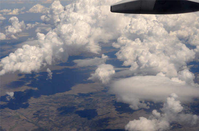 |
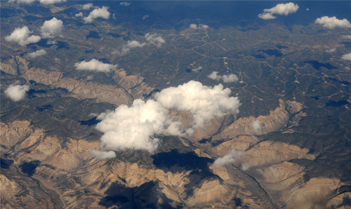 | I enjoyed watching these intriguing valleys about an hour and 20 minutes into the flight. Maybe New Mexico or west Texas? |
Whereever this is, I enjoyed watching the little town in the valley, nestled alongside the river. This is about five minutes after the photo above. Then the clouds closed in, so I settled down to read over the midsection of the country. | 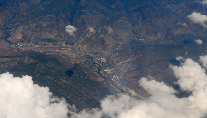 |
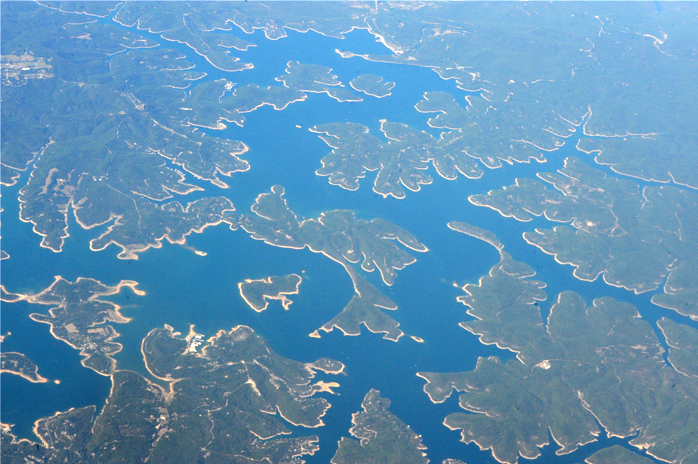 | We had a little clearing at about 2 hours and 45 minutes into the trip, which I think was over Mississippi or Alabama, and we saw this large reservoir. |
As we came over Alabama we encountered some turbulence with towering thunderhead clouds that reached up to the altitude of the plane. This was almost three and a half hours into the flight, 35 minutes before touchdown. | 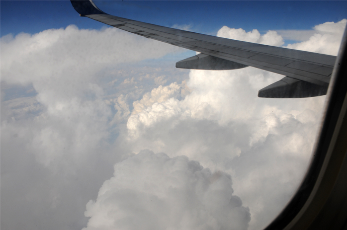 |
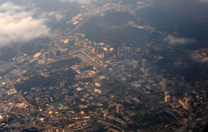 | The clouds cleared a bit as we sailed in over Atlanta and we could see familiar features like the Bank of America Tower and the Georgia Tech campus. |
Through the mist, I could even see Georgia Tech's Grant Field in the middle of this view, and could pick out the Varsity across the expressway. We were nearly home. | 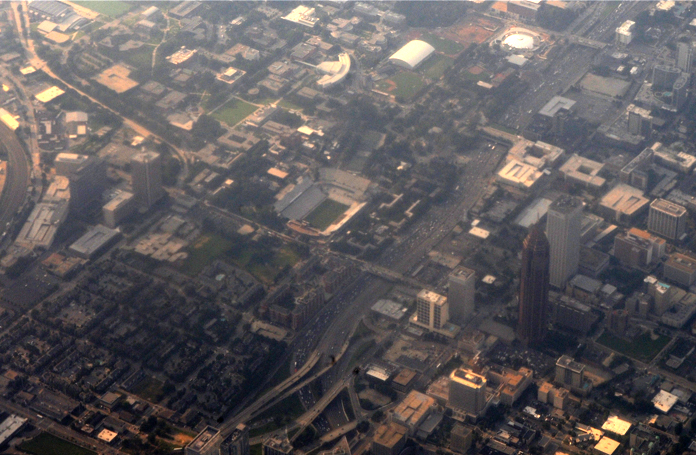 |
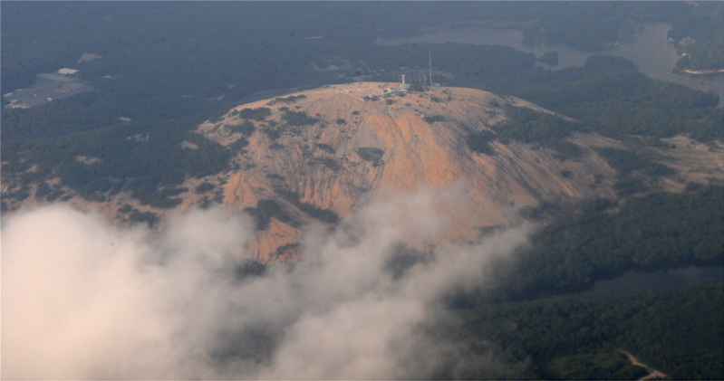
It was a treat to see familiar Stone Mountain as we were routed eastward from Atlanta to return and approach the runway from the east.
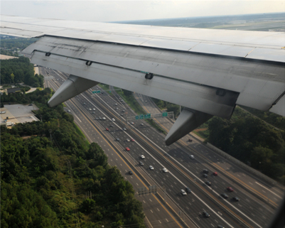 | 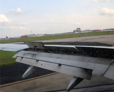 |
Swinging around to a westward heading we made the final approach into Atlanta. This took us over the South Expressway. With all flaps engage we brake to a stop at Atlanta Hartsfield Airport. Mark picked us up and brought us home - he had ridden his motorcycle out to the house and picked up our van to come get us. It was good to see Mark and good to be home.
| Awanas to Bent Tree |
2012