Landforms

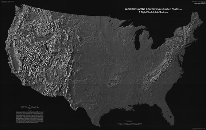
A high resolution shaded relief map of U.S. landforms is available from the USGS.
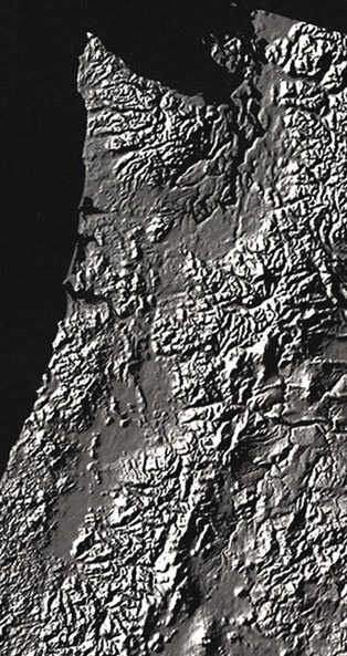 |
This segment of the above image shows the resolution available and shows the Pacific Northwest area of the U.S. where there is a convergent boundary just offshore. 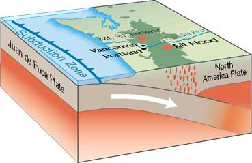 |
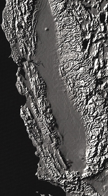
The segment including California with its valley and San Andreas Fault region illustrates the transform fault boundary associated with that fault. |
 |
| Plate Tectonics |
Geophysics concepts
| HyperPhysics | R Nave |