Bow Lake and Glacier
The Icefields Parkway from Lake Louise to Jasper
July 23, 2009
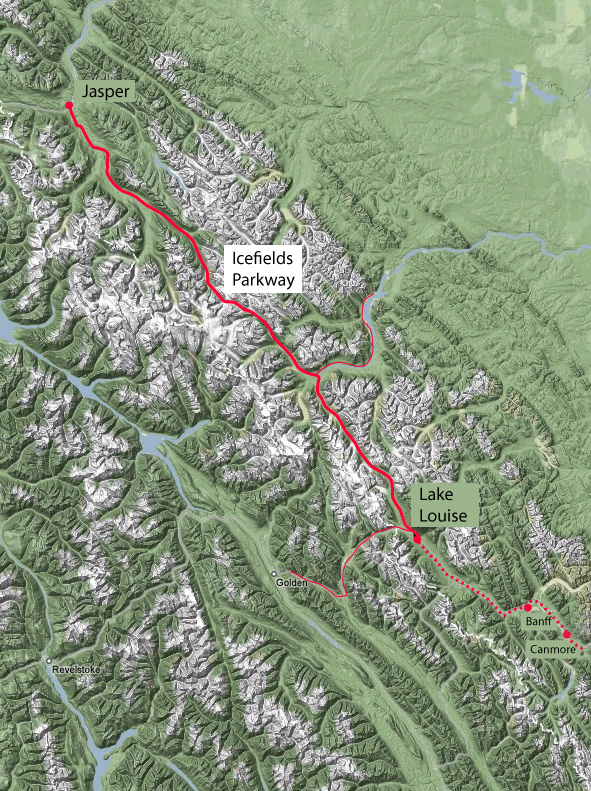 | Having left Canmore this morning, we had a memorable stop at Moraine Lake and then proceeded northwest from Lake Louise to Jasper on the Icefields Parkway. 
Section: Lake Louise to Peyto LakeThe distance from Lake Louise to Jasper is 230 km or 143 miles. |
Bow Lake is one of the three sizable lakes that are associated with the flow of the Bow River. 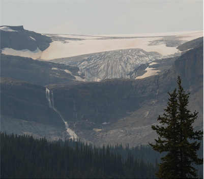 It is notable for the bow glacier and waterfall, and for the rustic log lodge there. | 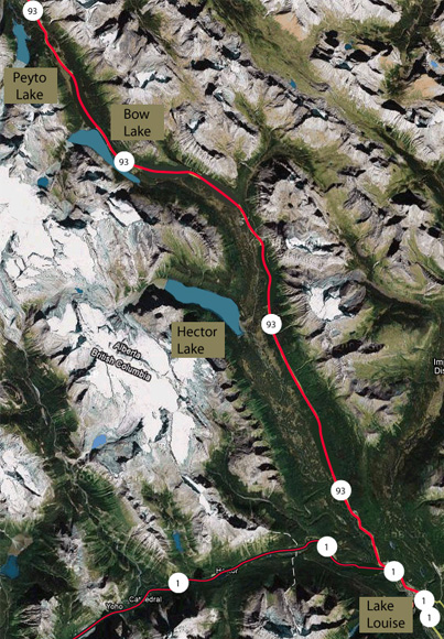
|
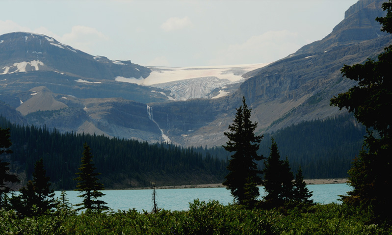
After leaving Moraine Lake, we drove northward into Jasper National Park and stopped at Bow Lake, which had been one of our favorites during the 2008 trip.
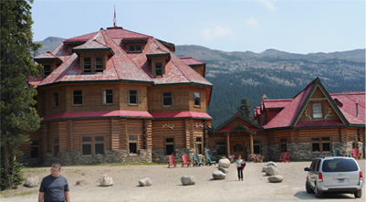 WE drove to the NumTiJah Lodge there in the hopes of having lunch there, but their dining room was closed. Last year we had walked some distance around the lake and had gotten the view at right of the Lodge across the blue water. | 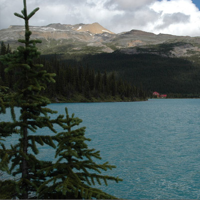
|
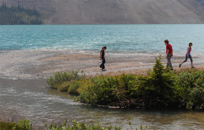 | It was a short distance to the lake and Jordan and Ashleigh enjoyed exploring where the clear stream spread out on a gravel bar where it entered the lake. Brenda walked on the gravel beach with them. |
From the vantage point of that stream delta, they could see the south end of the lakes and the mountains toward the southwest. | 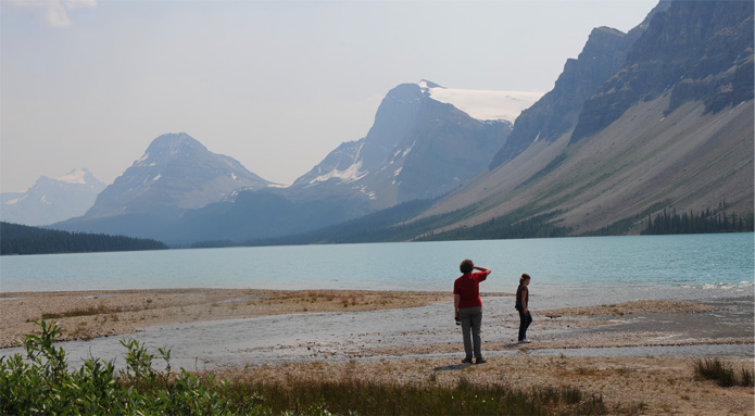
|
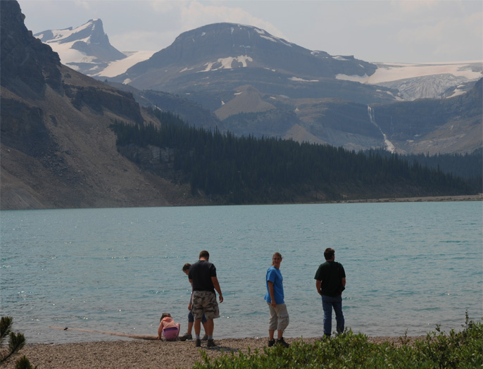 | The whole family gathered on the gravel beach to look at the lake, the glacier, and the waterfall. |
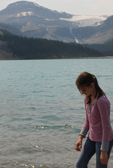 |  |
Understandably, what the girls enjoyed most was playing on the gravel beach and at the stream. The falls were dramatic, but they were also a long distance away.
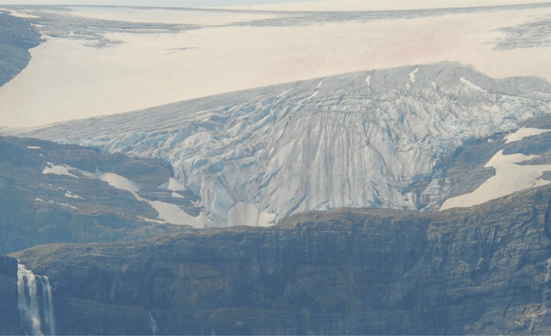
Likewise, the great height and ruggedness of the face of the Bow Glacier would have been more awe inspiring if we could have stood at its base.
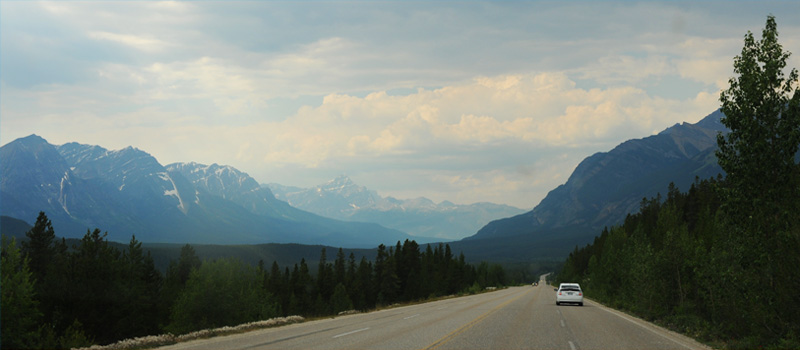
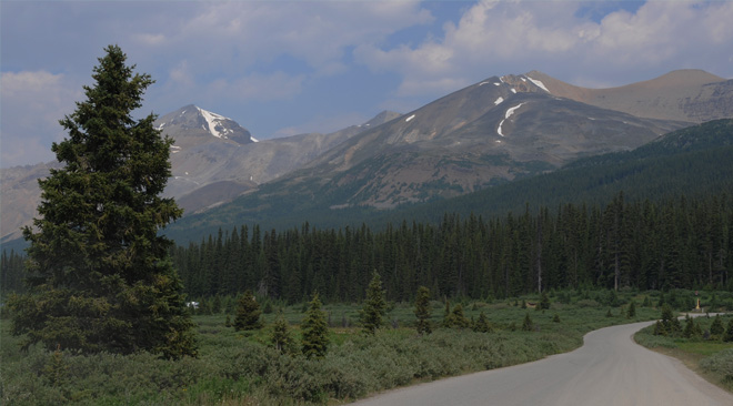 | We decided that we needed to move on with our journey toward Jasper, and this is the view toward Cirque Mt. as we approach Hwy 93. |
We traveled through vast unspoiled forests on the skirts of the mountains. At time the green of the forest almost glowed. | 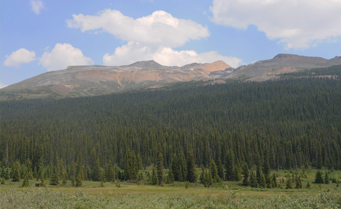 |
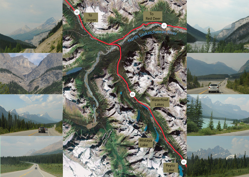
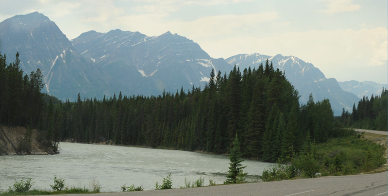
This is a sequence of thumbnail views as we traveled by Mistaya and Waterfowl lakes, past the Junction (often referred to as The Crossing) and north along the North Saskatchewan River along Hwy 93. They are in chronological order if you start at bottom left, move right and then back to left above. Following that sequence, the 4th picture shows Waterfowl Lake, the 6th the crossing of the North Saskatchewan River, and the 8th showing the North Saskatchewan River again as we paralleled in northward. The mountains in the 7th image may well be Amery and Saskatchewan Mountains.
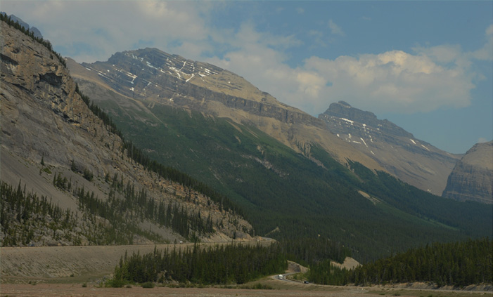 | An interesting part of the road north of the Saskatchewan Junction was the long loop of road on the approach to the Sunwapta Pass. The photo was taken from the end of the long loop, with the road we had just climbed on the right, and the road above us to the left. |
At the top of this exaggerated switchback, we could look back down into the valley we had come from and see the road and the Bow River far below us. | 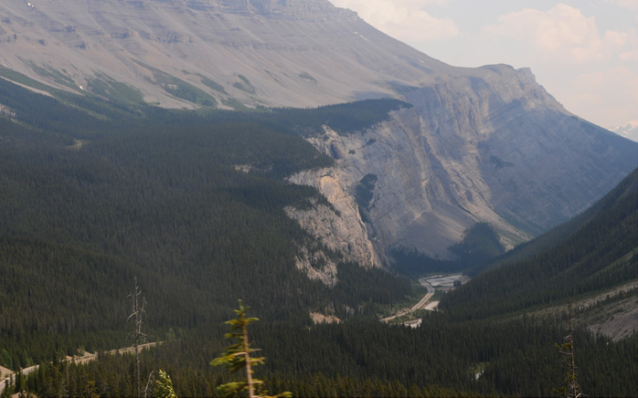 |
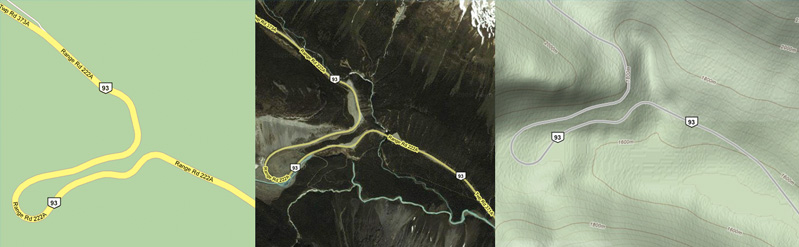
These are the ways that this strange area was depicted on the roadmap, a satellite image, and a contour map. The contour map shows that the gain in elevation is from about 1580 m to about 1840 meters in the section shown, a rise of 260m or 850 feet.
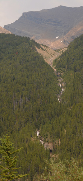 |  |
In the area of the Sunwapta Pass we saw this multi-cascade stream descending from high on the mountain. A short distance later, this fast-moving stream passed under the road. You could see the milky color of the glacial "rock flour" in it.
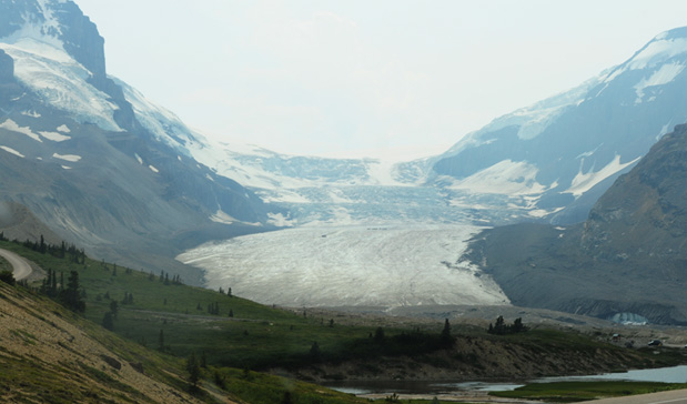 | A short distance north of the Sunwapta Pass is the Columbia Ice Field. This is a view of the Athabasca Glacier extending toward the valley with other glaciers up higher on the slopes. You can see the black specks on the glacier which are the tour vehicles associated with the glacier tour we took last year. The road at extreme left is the road to the station for the big-wheeled ice tour vehicles. |
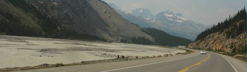
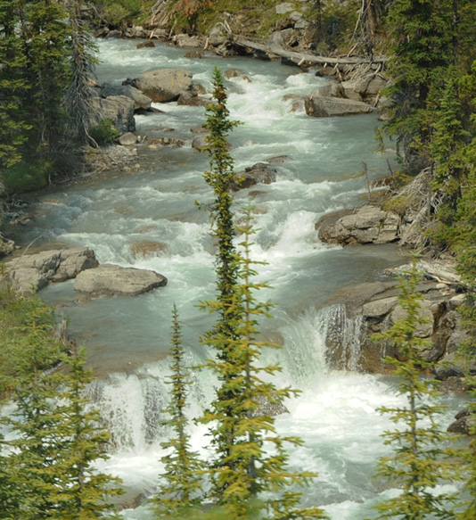
The Sunwapta River has its origin at the Athabasca Glacier, but within three or four miles has collected enough side streams to spread out into this wide swath of currents and gravel bars through the valley. We were traveling through the valley with beautiful forests and mountains on both sides. | 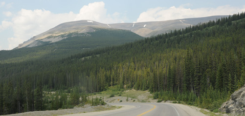 |
 | We followed the Sunwapta River northward for 20 minutes or so. Here the mountains coming into view are like high, continuous granit ridges. We saw a number of those. |
The path through this valley offered exhilirating views at every stage, with the vast forests climbing up the sides of the mountains. | 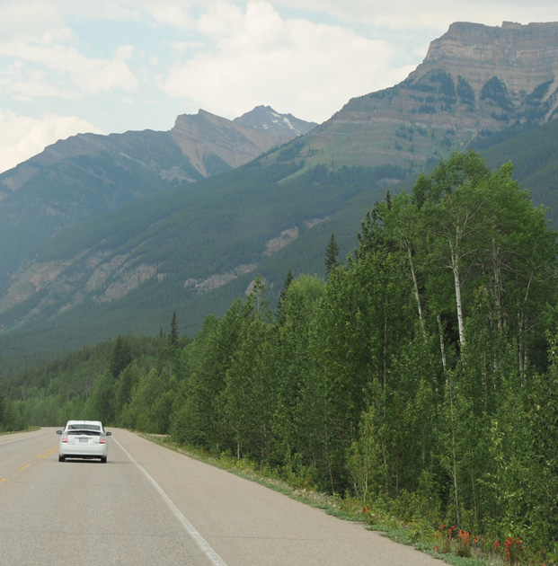 |
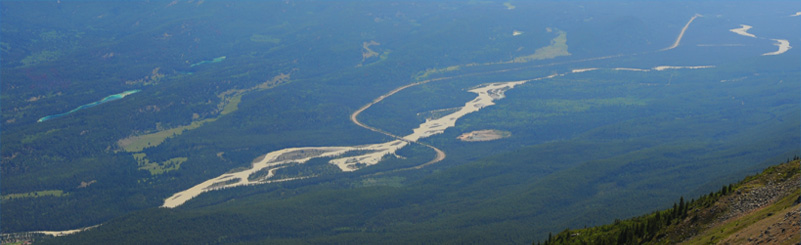
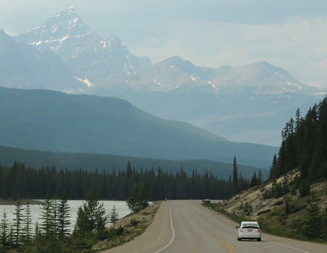 | About two hours north of Bow Lake we reached the valley of the Athabasca River. Below is a view of this section of the river from the top of Whistler Mountain, which we visited the next day. I suspect that Whistler Mountain is that right peak that you can see - it is rounded about like Whistler. |
As we neared Jasper, it was smooth riding on the fine highway. We were slowed down by one minor "goat jam" with some mountain goats that were grazing alongside the roadway. | 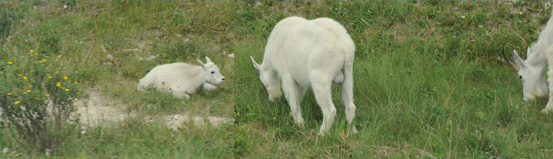 |
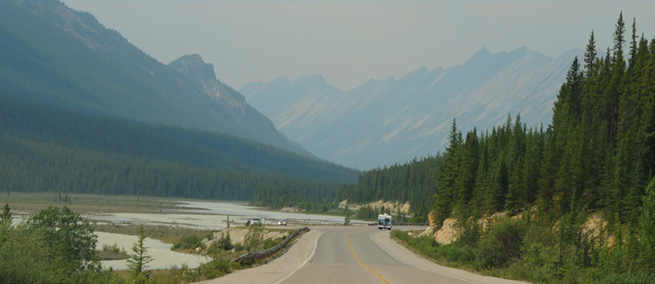
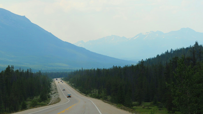 | Otherwise we were just cruising on the wide open highway through the Athabasca River valley, but always within view of the majestic mountains all around us. |
We arrived in Jasper at our bed n' breakfast, called Cabin Cove, at about 4:30 pm. It had been a remarkable day with the visit to Moraine Lake as well as Bow Lake and the drive up the Icefields Parkway. This view from right in front of our accommodations is of the peak of Whistler Mountain where we planned to go tomorrow. You can see the little bump on the mountain which is the upper station of the tramway up the mountain. | 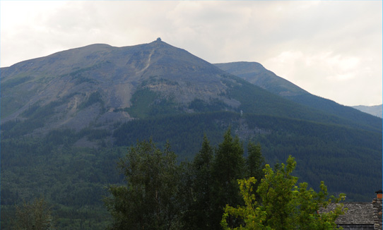 |
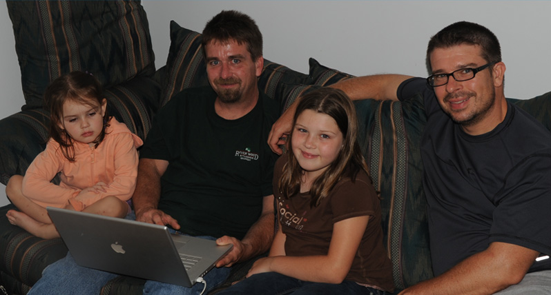
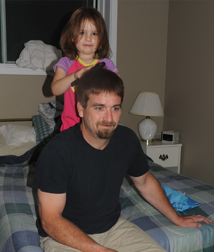 | We settled into our accommodations with five cameras and three laptops, so we were technologically ready for our exploration of this area. The B&B had a wireless hub, so Jeff, Mark and Brenda could check their emails. I didn't bother because I wanted a break from it . I spent my computer time uploading pictures. Uncle Mark had some adjusting to do, living with a bunch of girls like this. He patiently submits to Elyse's efforts toward being a hairdresser. |
| Whistlers Mountain |
2009