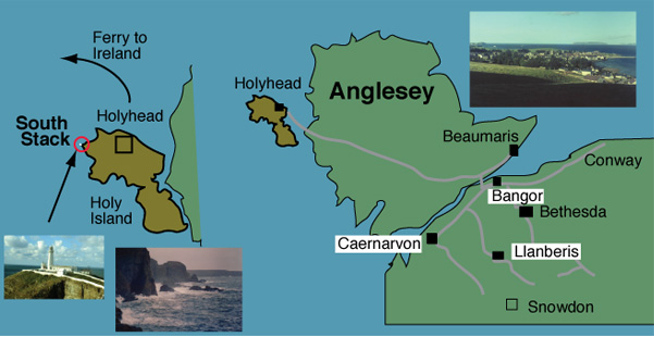
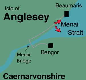
South Stack Lighthouse on Anglesey
and our further explorations of the Isle of Anglesey
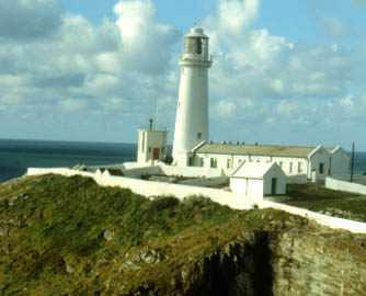 |
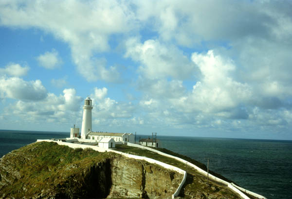
South Stack Lighthouse on the west end of Anglesey near Holyhead was the most outstanding lighthouse we saw. It is situated just off Holy Island at the southwest tip of Anglesey. It was always glistening white against the sea, spectacular even in rough weather. On October 23, 1966 we got to see it on a sunny day. The lighthouse is situated on a little island off the southwest tip of Holyhead Island. |
The South Stack lighthouse was the most beautiful we had ever seen. Gleaming white against the background of multicolored water, it signaled the shipping which passed through the Irish Sea between Wales and Ireland. Even on this relatively calm day, you could see the waves crashing against the rock walls near the lighthouse and could visualize this happening for centuries.
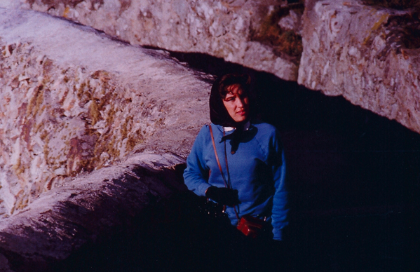
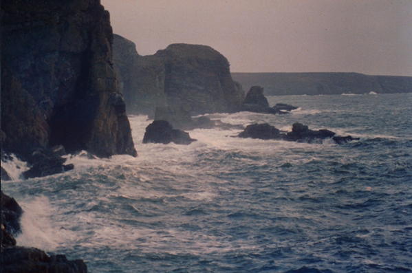
South Stack is on the last point of land with 15 miles of the Irish Sea separating us from Ireland. Brenda stands on the stone walkway leading to it, from which we enjoyed watching the waves against the rugged coast and the variety of sea birds. You look at the massive stone walls and reflect that they were built to last for centuries! It was completed in 1809 according to Wikipedia.
Wiki: South Stack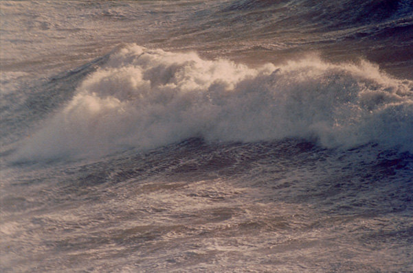
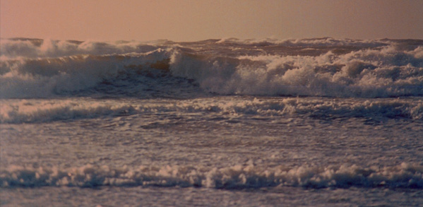
 | In November the gale-force winds started howling over Anglesey and we enjoyed going from Beaumaris to the southwest edge of the island at Rhosneigr to watch the waves rolling in unimpeded from the north Atlantic. |
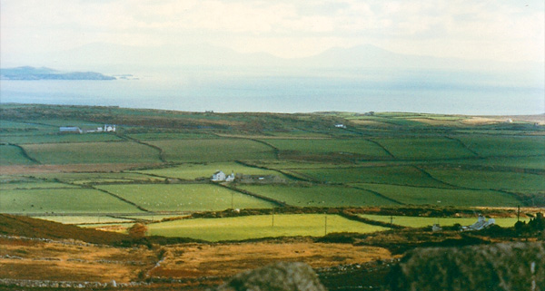
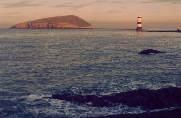
By the time we had been there two months, we had explored Anglesey from tip to tip. It was mostly rural and agricultural. There was a tremendous number of sheep and lots of dairy cattle. The view above is looking across Holy Island with its rock-walled fields with sheep and cattle. In the distance you can see the Snowdon range, with Snowdon being the highest peak. Puffin Island, shown below is a bird sanctuary and major nesting island. |  |
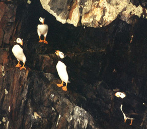 | The Chemistry Department group, where Rod worked, had planned a trip to Puffin Island and Rod was looking forward to going, but the weather turned bad and canceled the trip. The instructions for the trip were interesting: bring lunch and a big umbrella (they actually used the word "brauly" which was common British slang for an umbrella). I asked naively, "Why an umbrella?" and got lots of knowing snickers. Puffin Island is a major nesting ground for gulls and their main defense strategy for protecting their nests is to fly toward you and poop at you, so with the proper umbrella protection, you just come back with an umbrella covered with gull poop. |
We heard a lot about the puffins while we were in Wales, but never saw very many. We got much better views years later at Cheval Island and the Puffin Sanctuary Island on the Kenai Fjords tour in 1992, as well as at Homer in 1991.
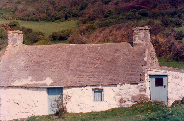
This is a somewhat typical old Welsh house. Thick rock walls, slate roof. Solid!
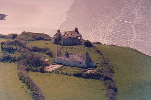
This may look like two typical old Welsh houses, but the one closest to the water is not a cottage at all! It is a camouflaged anti-aircraft gun emplacement built during World War II.
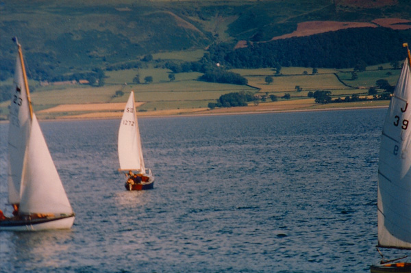
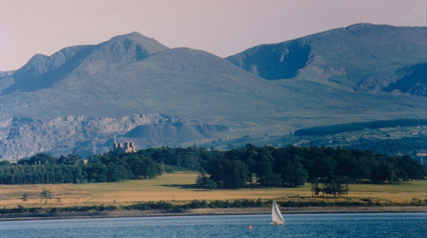
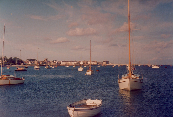
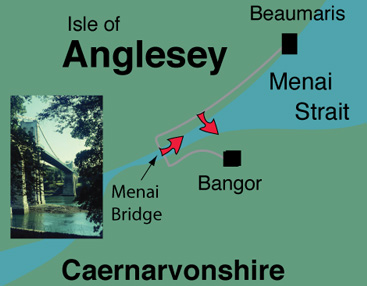
 | Any time the weather was good, there were sailboats out on the Strait.These views are from along the coast road from Beaumaris toward Bangor that Rod drove every day going to work at the University College of North Wales in Bangor. He crossed the spectacular Menai Bridge each day on the way to work. |
The view across the Strait shows Penrhyn Castle and the huge Penrhyn slate quarry behind it. Penrhyn Castle is actually used as a residence, so we didn't get to tour it. Slate production is a major industry, and is protected by ordinances that require all roofs in North Wales to be made of slate.
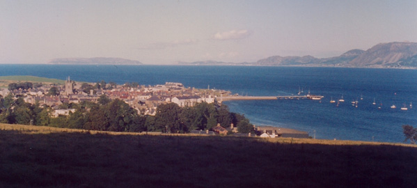
 | Returning to Beaumaris from Bangor gave you the above view of the town from the coast road. |
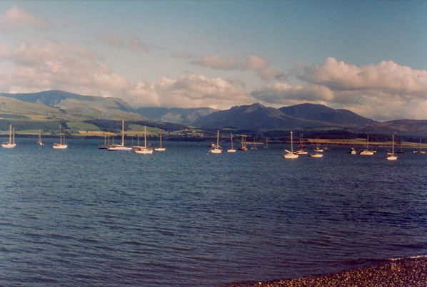
This is a view across the Menai Strait to the hills of Caernarvonshire on the mainland.
 | Above is a view across to the Bangor Pier from the Anglesey side. The pier extended a long way into the Menai Strait from the town of Bangor. The turrets of Penrhyn Castle can be seen just left of center in the photo. |
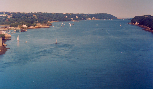
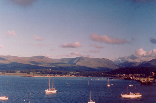
This photo is taken from the Menair Bridge, looking up the Menai Strait to Beaumaris. Beaumaris can be just barely seen, just at the horizon.
We return to Beaumaris, where our flat was a block or so toward the pier from the square Norman church tower you can see in the middle of town. Living here for a year and a few months was a great privilege.
| Llanberis |
1966