Hurricane Katrina
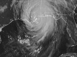
A glance at the map below of the path of hurricane Katrina makes it evident why Jeff and family headed our way on Sunday morning, August 28. The path of the storm took the eye right over their house.

 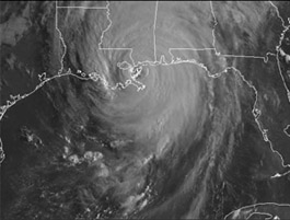 |
We watched on Monday morning as the storm's eye moved right over Slidell, bringing a disastrous storm surge with it. The image below was a day earlier, on Sunday morning about the time Jeff and family left to come to us. 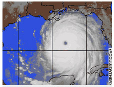 |
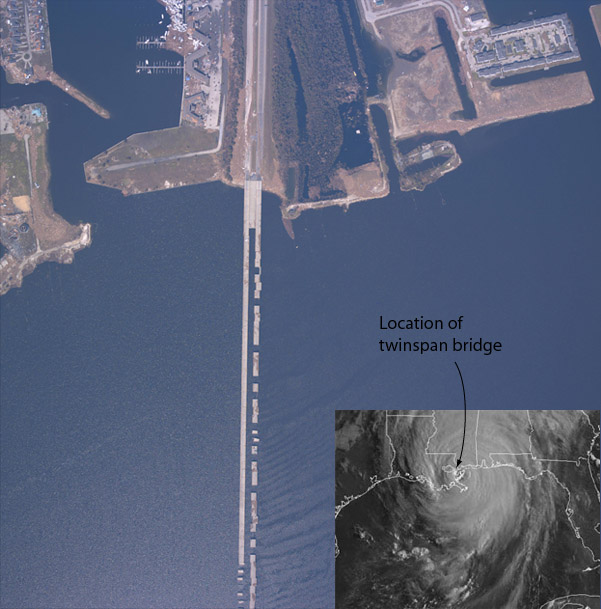
This satellite image shows the damage to the twinspan bridge across the east end of Lake Ponchartrain. This is part of the Interstate-10 route into New Orleans and was part of Jeff's route to the seminary. Note at the top of the picture that the boats have been stripped from the marina and piled in a heap by the storm surge.
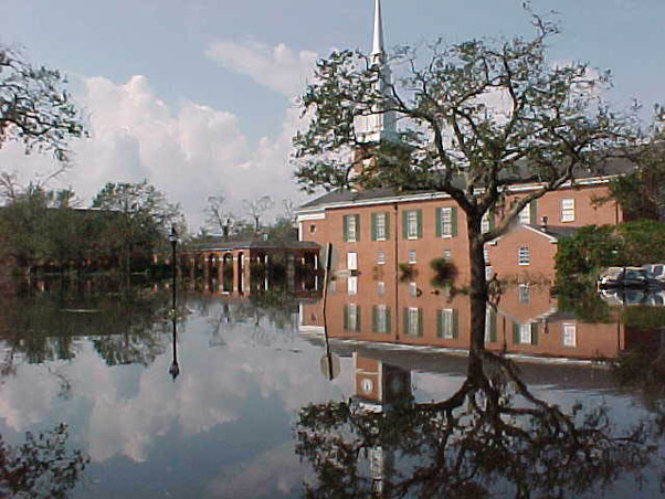
This photo of the Leavell Chapel on the NOBTS campus is representative of the flooding that occurred after the failure of the levee system in New Orleans. This was taken by the NOBTS Security officers on August 31. We are told that they took photos from a canoe.
| More NOBTS photos |
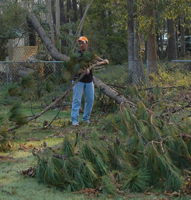 |
Having reached the house in eerie darkness and silence last night, the bright morning sun was welcome. I had wired in the generator, so we had power to fix coffee and have lights. Fortunately, Jeff's house was not damaged and the only significant loss was from this tall pine tree that crushed the back fence. Jay jumped on it and sawed it up. Jeff and I fixed the fence and put up screens on the windows. That got his house fixed up and we were ready to tackle other things. |
| Drive to Pearl River |
2005