Athabasca Falls
July 26 , 2008
This is the setting of the approach of the wide Athabasca River to the falls at the bottom of the picture. A lot of water had to move through the narrow gorge ahead. We had left the Columbia Ice Field and had stopped at Sunwapta Falls where the Sunwapta had already grown from that stream we saw to a roaring river through a narrow gorge. We stopped at a major goat jam where about seven mountain goats were browsing beside the highway. At that point the Sunwapta River was a wide glacial river similar to those we saw in Alaska. Further north we stopped at the Athabasca Falls which were like a miniature Niagara roaring through a rocky gorge. They were just at the turnoff onto Hwy 93A and we followed 93A on northward until it rejoined Hwy 93 to Jasper. | 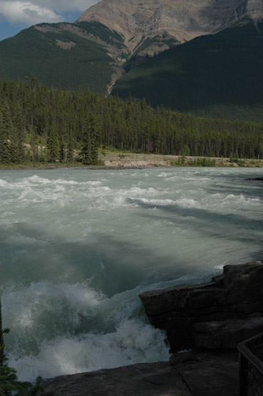 |
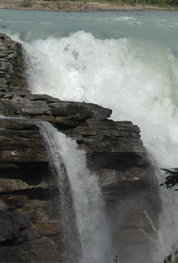
 | Our first view of the falls was from about this angle. I liked the little side cascades. Athabasca is a word from the Stoney Indian language which means "the place where the bulrushes grow". The peaks around the headwaters at the icefield are Hardisty, named for a fur trader, Hector for an explorer, Stutfield for a mountaineer, and Wilson and Peyto for horse-party outfitters. |
This angle shows that there is another side cascade beyond the main falls. | 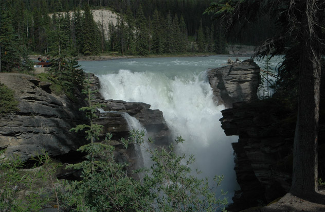 |
 | 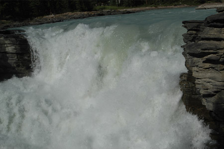  |
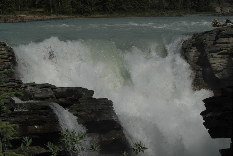
 | The side cascades of the Athabasca Falls make interesting waterfalls themselves. 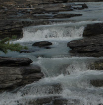 |
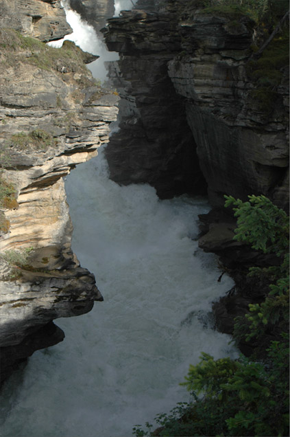 | 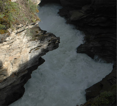  |
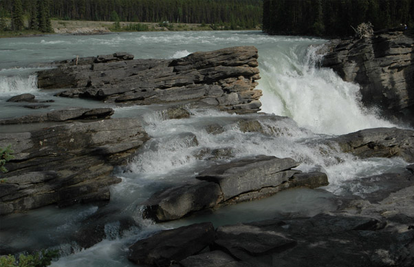
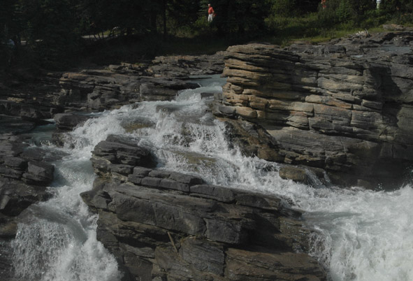
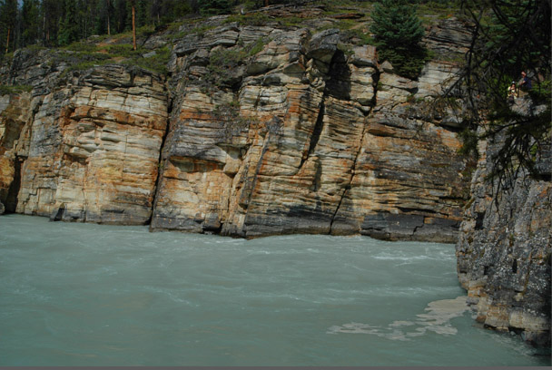 | This is the place where the Athabasca River comes boiling out of the gorge below the Athabasca Falls. It was a short hike to this point from the falls through these interesting strata of rock. |
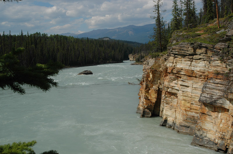
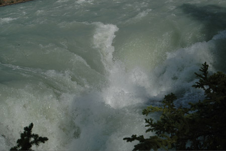
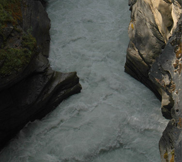
The Athabasca River spreads out rapidly below the falls as it flows downstream. It still sounds wrong to say "downstream" when the river is headed north toward the Arctic Sea, which anyone knows is "up" on the map. It is hard to believe that all this water came over the Athabasca Falls, but given that it did, you see why the falls are so violent and turbulent. | 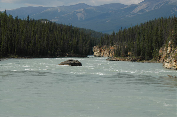 |
| To Lake Patricia |
2008