Columbia Ice Fields
July 26 , 2008
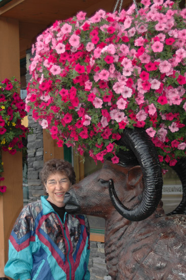 | We had breakfast on the main street of Jasper at the Soft Rock Cafe. It was obviously a very popular morning gathering place. We were there at about 8am and lots of rafting trips and other excursion vehicles were headed out of Jasper. Brenda poses by one of the luxuriant hanging baskets on the main street and with this large statue of a bighorn sheep. 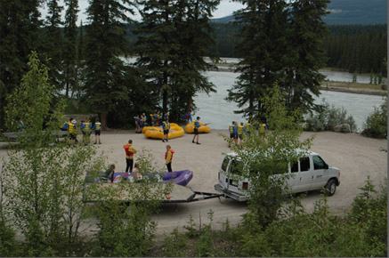 This group was about to set out on a rafting trip on the Athabasca River just south of Jasper. I was a bit surprised to learn that the Athabasca River flows northward and empties into the Arctic Ocean. |
After breakfast we headed south on the Ice Fields Parkway, Hwy 93, toward Banff. This road was begun by the Canadian government in 1931 when hundreds of unemployed men were put to work building mountaineer A. O. Wheeler's "wonder trail" through the heart of the Canadian Rockies. The men were paid 20 cents a day. They used picks, shovels and horses. The only machines were a few small tractors. A single lane gravel track was hacked from Lake Louise to Jasper. At the opening of the "B-J", as the Banff-Jasper road was called in 1940, the world was at war. With the auto-tourist boom of the 1950s and 1960s the road was widened, paved and realigned. It's official name is now "The Icefields Parkway".
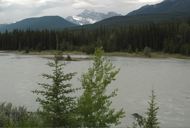
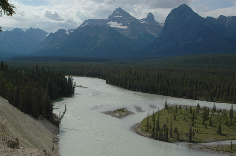
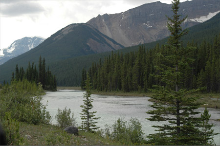
A good bit of this trip followed the Athabasca River, a broad and fast moving glacial river with the characteristic milky blue color of such rivers.
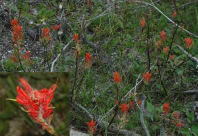 | 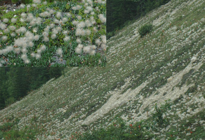 |
Many of the wildflowers were old friends like the Indian paintbrush above left. There were white puffy dandelion-like plants which covered whole banks, and they were new to us.
 |  |
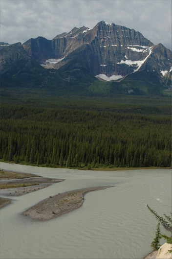 The river was ever changing in its flow and the islands formed in the flow were interesting accents to the mountain scenery. | 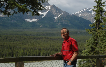 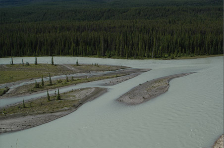 |
 | The area was so beautiful, you even got great views in your rear view mirror! Brenda shot this view of the high bare-rock ridge that looked like a saw blade. We saw a good many of these glacial aretes at the tops. 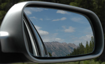 |

As we got closer to the Ice Fields area, we saw what are called "hanging glaciers" up high on the mountains. I was intrigued by the snow dome at right, high up on a mountain top which what appeared to be fresh snow on top of old ice. About this time we understood that these areas can make their own weather as clouds and fog formed quickly on the mountain tops. | 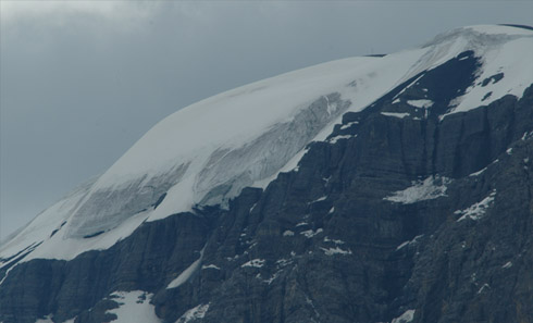 |
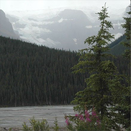 | We stopped in view of a broad glacial river with a nice forest and about four tiers of glaciers up on the mountain. The weather moved in quickly and the glaciers seemed suspended in the fog. 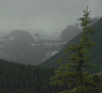 |
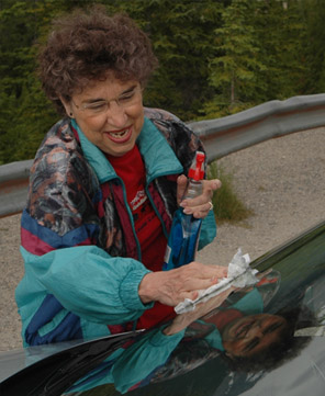 We had a running joke about cleaning the windshield - everytime we would clean it, a juicy bug would nail it just about the place Brenda was taking a picture. And if we stopped every time I wanted a picture, we would never get there. Rushing streams, waterfalls, gorges, rockslides - all were interesting. | 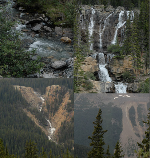 |
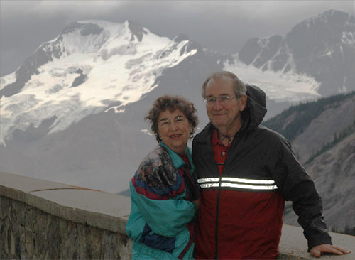 | Rod and Brenda at an overlook just a few miles north of the glacier visitor center. The glacier in the background is one of those that surround the great dome of ice that overlooks the Athabasca Glacier to which we were headed. The Sunwapta River here flows north and joins the Athabasca River and flows eventually to the Arctic Ocean. From the great ice dome, some water flows to the south to the Columbia River and to the Pacific, and some flows to the North Saskatchewan River and to the east. |
| To the Athabasca Glacier |
2008