Going-to-the-Sun Road
Logan Pass and Points Beyond
Wednesday, July 22, 2009
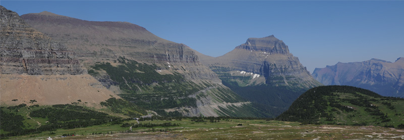
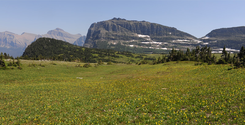
This is the setting of Logan Pass as seen from the trail above the visitor center. We were looking from near the snow patch shown in the pictures below. The Visitor Center can be seen near the center of the photo. When we arrived there, the parking lot was jammed full and we had to drive down the hill to park and hike back. Then Mark, Rod, Jeff and the girls continued up the trail above the Logan Pass Visitor Center.
 | The trail above the Visitor Center was characterized by flower-filled meadows and snowpatched mountains. 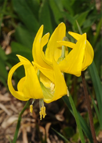 The asters shown at left were there in abundance, as were these brilliant yellow columbines. 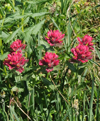 We saw a lot of Indian Paintbrush in bloom as well. |
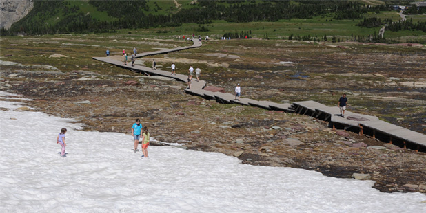
An extensive boardwalk has been constructed through the meadow above the Visitor Center to keep people off the vegetation. Mark and Jeff and the girls took off and I had trouble keeping up, particularly since I was distracted by flowers and such and was taking pictures. 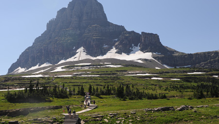 Then when the girls found a patch of snow they could run on, they really got cranked up! | 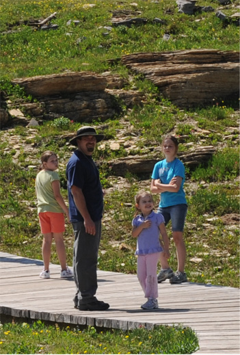 |
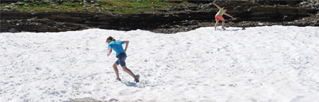
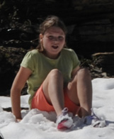 The girls were delighted to find a remaining patch of snow by the boardwalk where they could play in the snow. 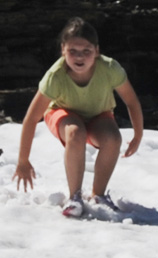 | 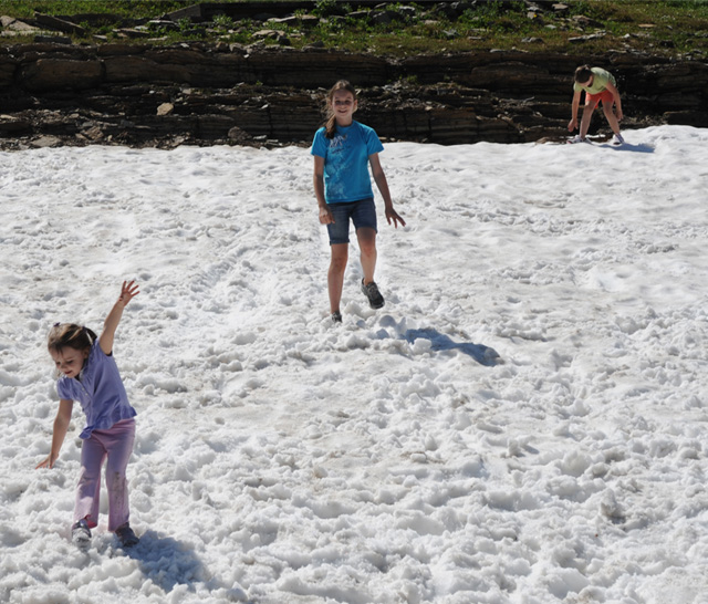 |
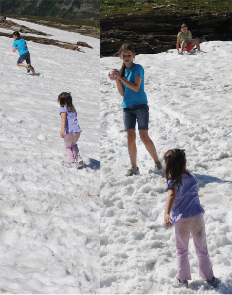 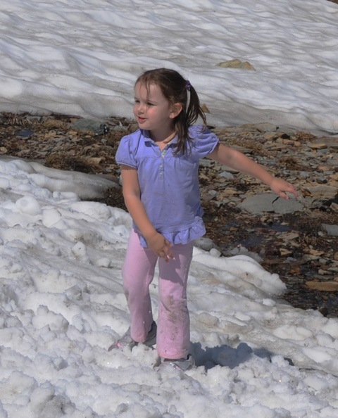 | 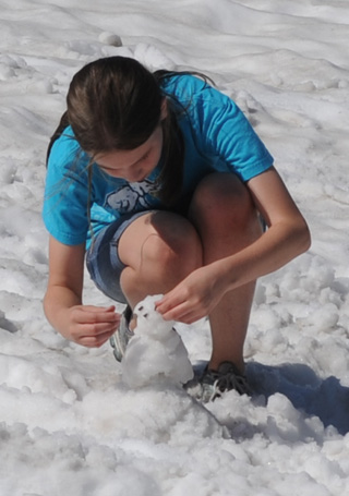 Ashleigh takes time to build a mini-snowman, but otherwise they just ran and slid around and threw snowballs at each other. 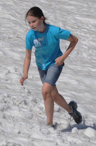 |
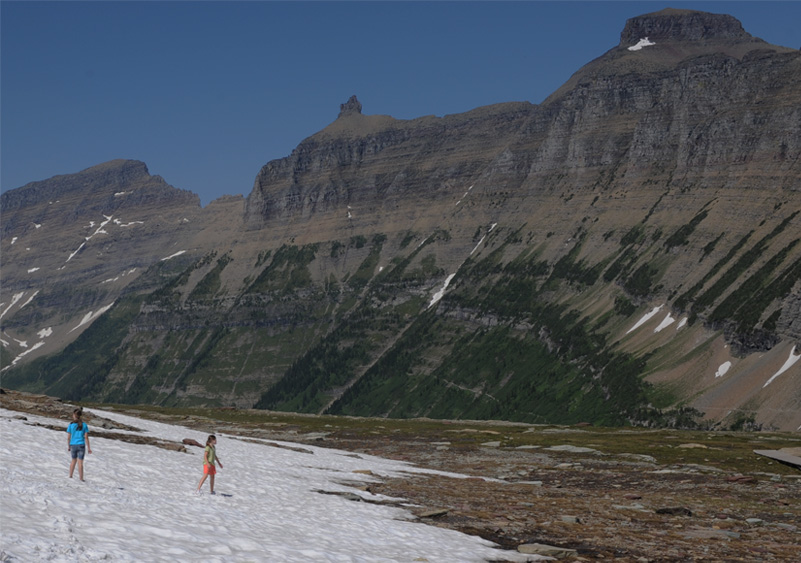
 | We didn't go higher on this trail this afternoon for lack of time, but we were pleased for the girls to get this unique experience with the snowpatch high on the mountain. The view at left shows the perspective of the bottom of the snow area relative to the Logan Pass Visitor Center, which can be seen in the extreme upper right of the picture. |
This was one of the views on the way down. This entire yellow meadow was mostly the bright yellow columbine flowers. 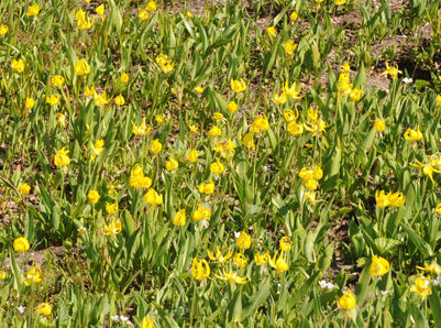 This deer preferred the aster meadow lower down, shown in the picture below. | 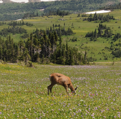
|
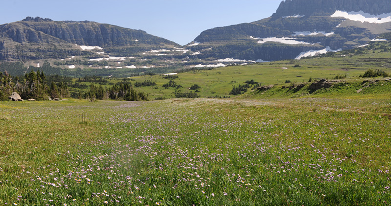
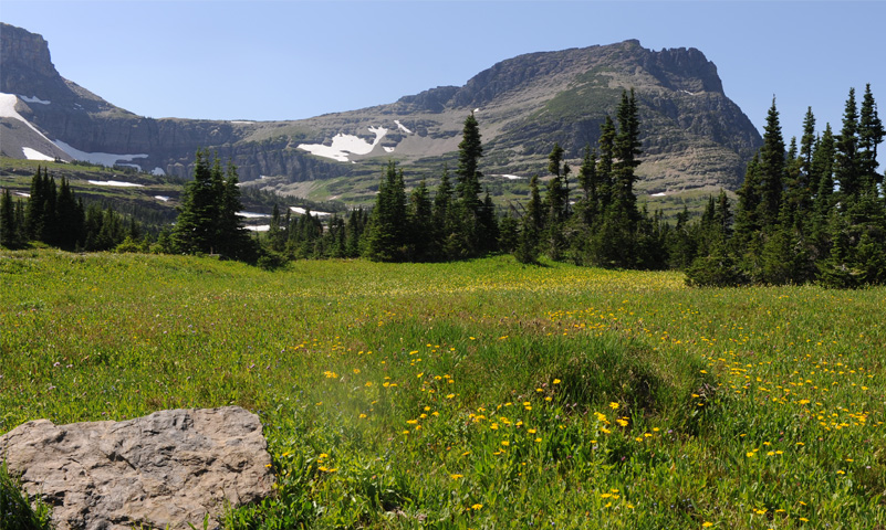
This was yet another beautiful meadow with a different species of yellow flower!

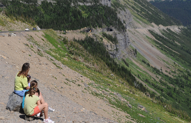 | Above is the view eastward as we say goodbye to the Logan Pass Visitor Center and head down the hill to our cars. You can see the road cut on the left, and it extends on through t he forest in the distance on the left. Darla and the girls were sitting on the roadside when we got there, looking toward the tunnel that is ahead of us along the road. |
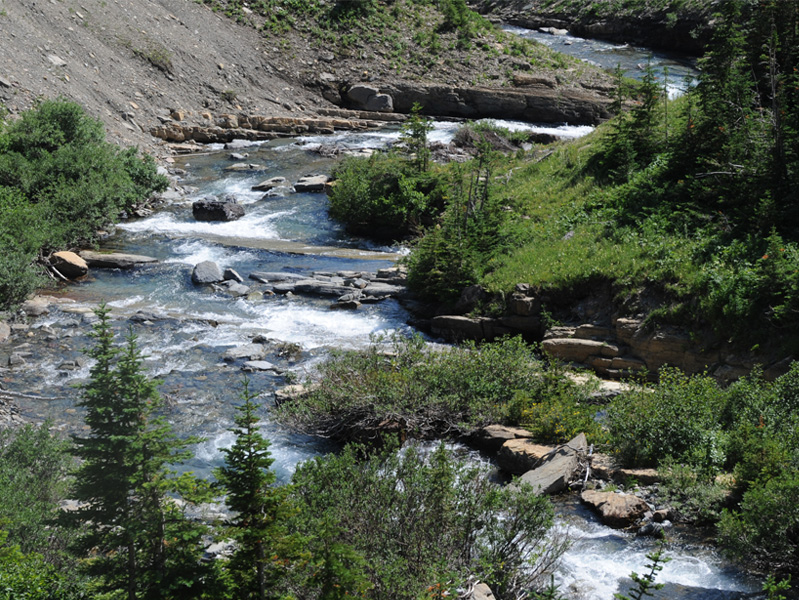
We now headed down a long incline, with lots of wonderful streams along the way.

We reached the beautiful St Mary's Lake with the view of Wild Goose Island in it and a tour boat moving across it.
 | We stopped for a brief look at Paramout Peak to the west into the sun, and then headed out of the park toward the east to St. Mary. From St. Mary we headed north toward the Canadian border since we still had 240 miles to cover to Canmore for the night. |
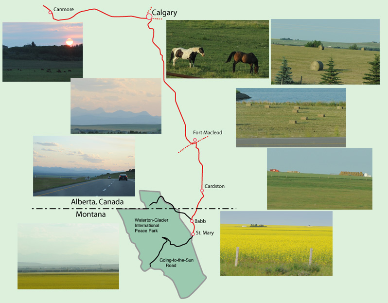
We drove the short distance to the Canadian border and produced our eight passports to cross into Canada. We drove northward through pleasant open farming country. It was open plain and nearly flat, although we could always see the mountains to the west of us at the horizon. I enjoyed the hay, and the cattle and horses in the pastureland.
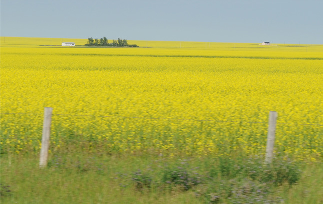 | We enjoyed the vast fields of "yellowstuff" which we understand to be mustard. The great open sky and the visibility to the horizon all around us was exhilirating. |
| We drove northward to Calgary and used the GPS to help us find the route to the western Highway 1 toward Canmore. Some distance west of Calgary we started getting these views of the mountains on the horizon. | 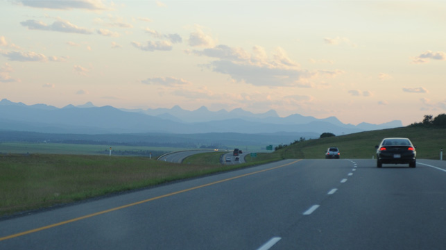 |
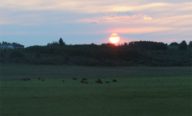 | The open pastures and cattle were pleasant traveling companions, and I liked this view of the cattle as we drove toward sunset. |
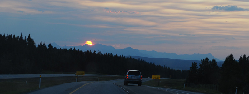
As we drove on toward Canmore, we had beautiful views of the big red sun over the mountains we were driving into. We reached Canmore about 9:30 pm and settled into an intown chalet that Brenda had booked for us. It had been a great day, but we were all exhausted and it didn't take us long to settle in for the night.
| Moraine Lake |
2009