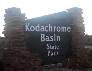
Kodachrome Basin State Park
November 3, 2016
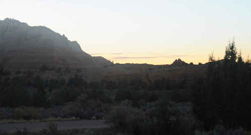
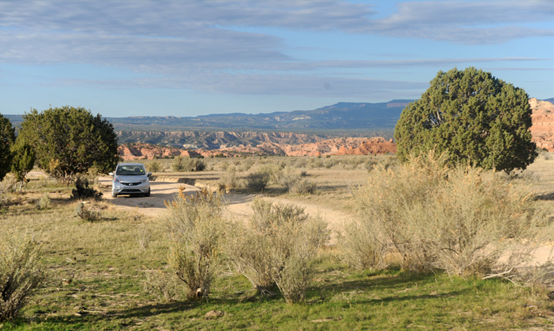
After our visit to Capitol Reef National Park, we drove down the scenic Hwy 12 and reached Cannonville, Utah late in the afternoon. We arose early for our final day of exploration and reached Kodachrome Basin at sunrise. It was only about 9 miles from Cannonville.
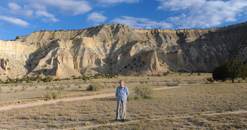
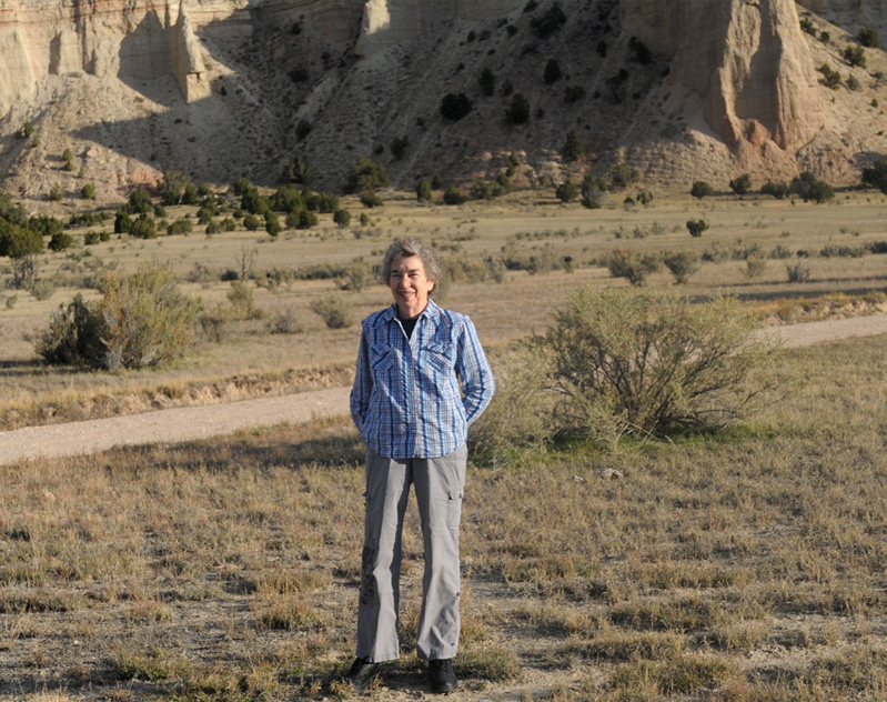
Brenda is standing in a cow pasture which is a couple of miles out a gravel road, but with a dramatic view of the light colored cliffs of this part of the Park. This road is one of the two main exploration roads of this smaller park, the other being paved and containing a very nice campground.
 |  |
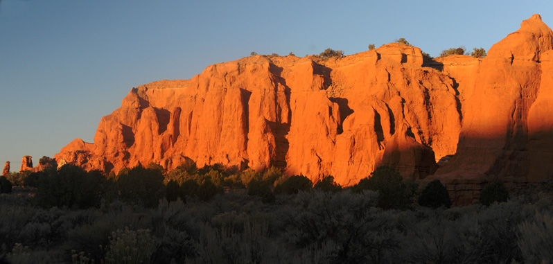
We drove to the end of the relatively short main park road and could see the formations, but the valley was in shadow since the sun had not risen over the eastern ridges. We had been in the park about 30 minutes when the sun rose enough to illuminate this red ridge to the west of the valley.
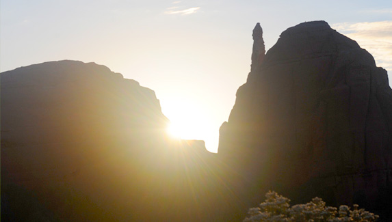 | To the east, we were still just getting intriguing silhouettes against the rising sun. Then the sun broke over the ridge.  |
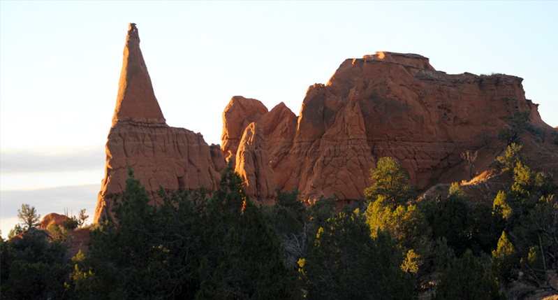
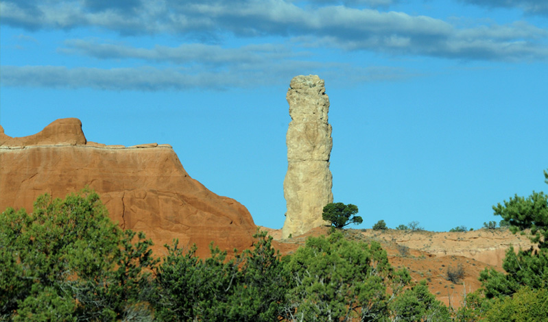
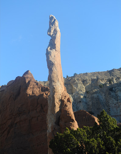
Finally, the side light from the rising sun gave us enough illumination to see the formations at the south end of the park. This sharp column was one of several forms for these extraordinary stone columns.
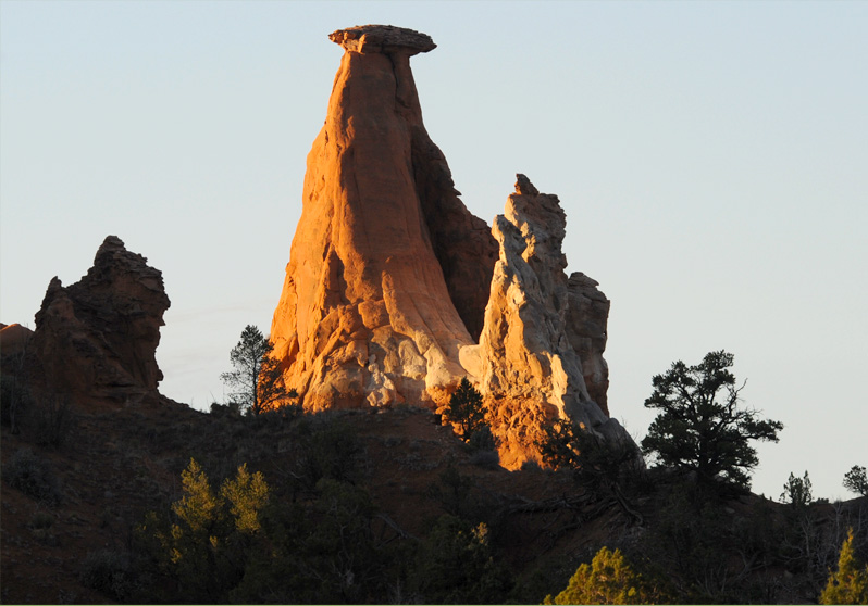
This particularly strange column was at the west end of the southern formation, to the right of the image above it. These were views we got when we returned southward on the main park road. Since the light was now better, we decided to drive back northward to the end of the road again.
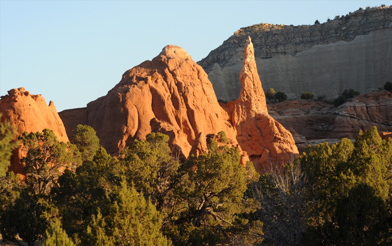
With much better light now, we got a good view of another of the sharp columns to the east of the park road.
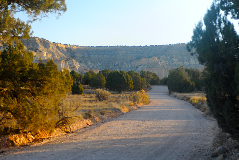
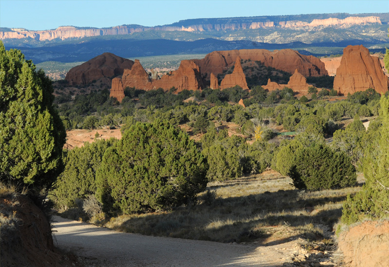
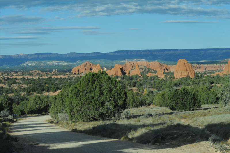
Our second trip northward on the park road was much more satisfying because the morning sun was now illuminating the colorful formations along the road.
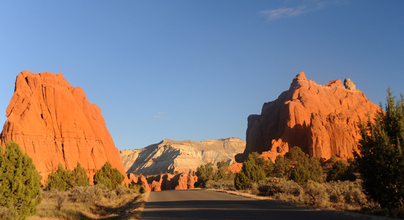
This was the view at the end of the main park road. The large red column was the kind of object unique to Kodachrome Basin. There was a really nice campground here near the end of this road. We decided to explore the dirt side road, so headed back south.
It was still early light when we headed out the dirt exploration road to Chimney Rock. We had seen several jack rabbits in the early morning light, but this was the only one I could get a camera on. |  | 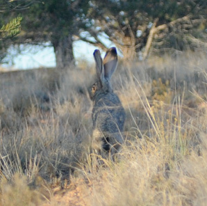 |
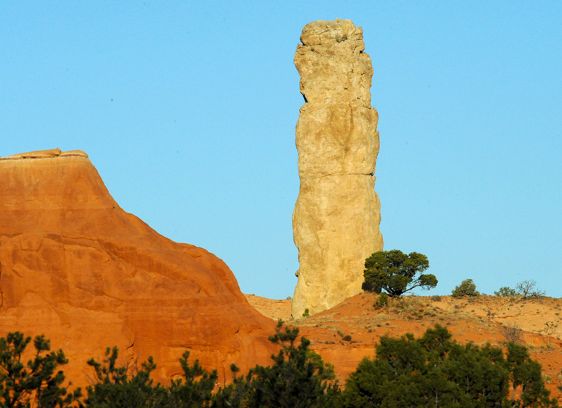
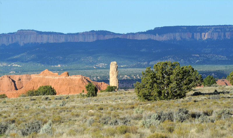
This was to me a signature shot for the uniqueness of Kodachrome Basin. There were a number of columns, but this cylindrical one certainly points to an unusual process in the geological history of the area.

As we drove there was a transition from predominantly red to predominantly white formations.
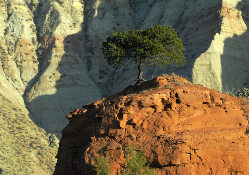
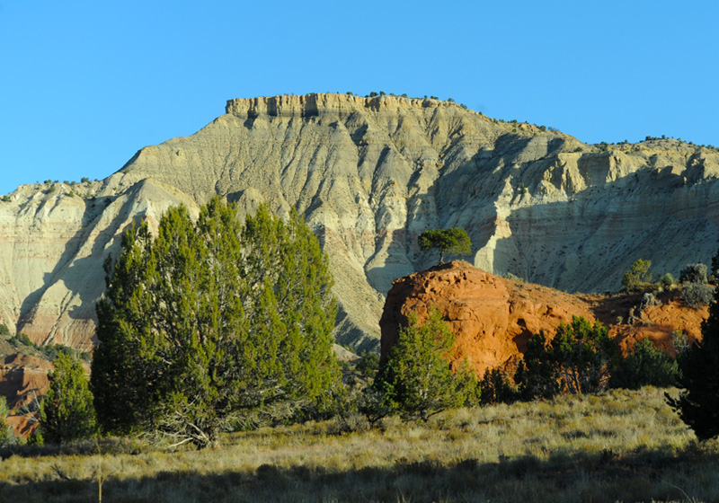
I liked this little tree on its high red perch from the view above.
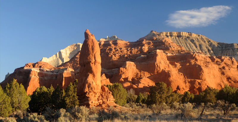
From this road we finally got a well-lit view of the red forms at the south end of the park.
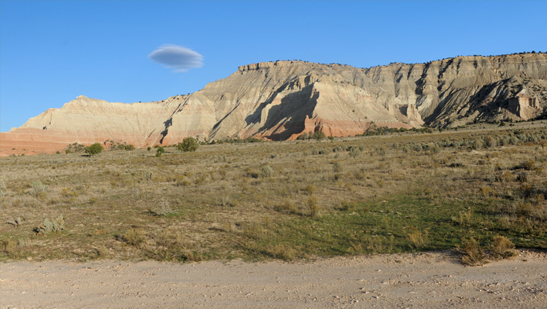
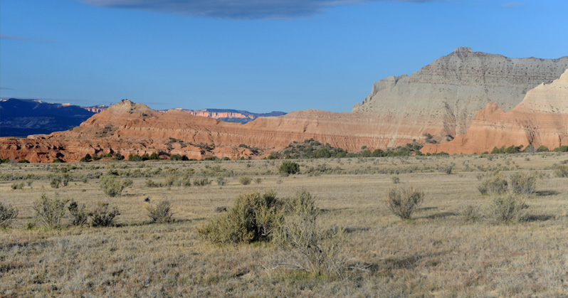
Further out on the Chimney Rock road we were looking across a wide pastureland area to the big white wall.
The cylindrical column in the distance was my marker for how far we had come out the dirt road.

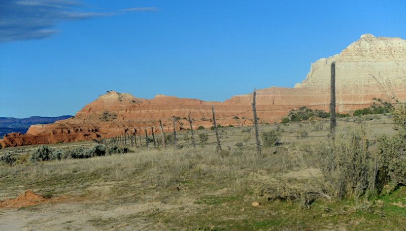
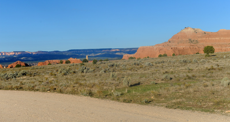
The road crossed a fenceline on a cattlegaurd. I was glad to see that this open area was also used for grazing, but at this dry time there were no cattle present.

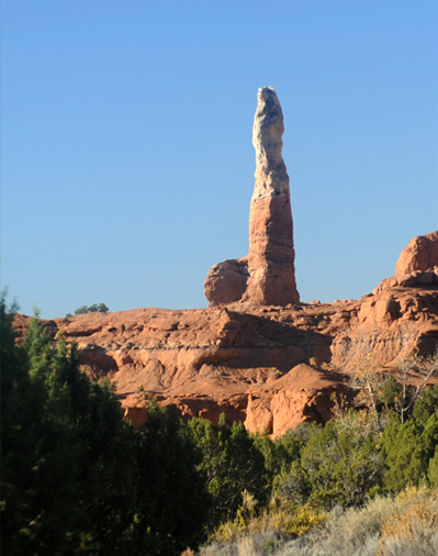
Finally Chimney Rock came into view at the end of this dirt road. It was quite separate from the massive wall behind it, raising questions about how it could have formed so.
From the Chimney Rock area, this was the view around to the southwest, showing the transition from the almost white formations to red or orange. There is an inclination angle to these nearby forms.
Another view of Chimney Rock in its setting near the big wall as we approached the end of this dirt exploration road.
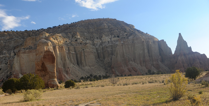
It was a beautiful morning and it was great to be out in the open area with all the formations around us.
 | Brenda shows a size comparison with Chimney Rock. 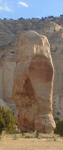 By the rock was a display with a picture of Chimney Rock from the September 1949 issue of National Geographic which featured this park. I take it that Kodachrome film was fairly new then, and they dubbed the area Kodachrome Basin. They got permission later from Kodak to keep the name. |
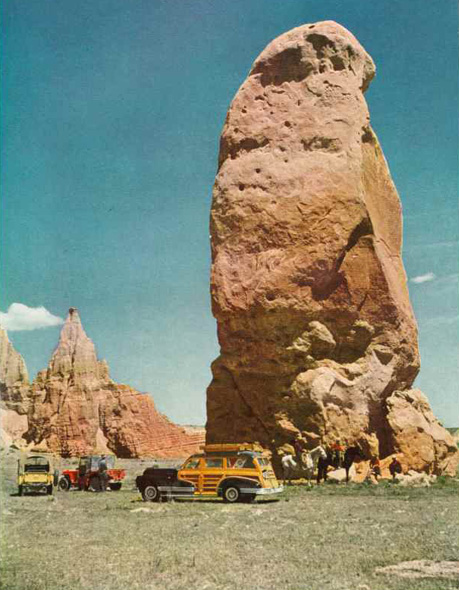 | The picture on display from National Geographic was like this one. The article noted that Chimney Rock was 90 feet tall. The article billed that exploration of the whole Escalante region as one of the first in which motor vehicles were used for cross-country travel. There were at that time no roads into this area, which they called Dry Valley. There are tales in the article about their adventures in trying to get the vehicles over the dunes in the area. There were also tales about local cowmen guiding them to points of interest, and the discovery of some high grade uranium ore in the area. One of their picture captions had "Where cars had never rolled before." 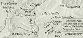 This little piece of their map shows Cannonville and their label "Kodachrome Flat" and Chimney Rock, but there are no roads indicated. |
We had driven out to the end of the dirt road to see Chimney Rock. I liked the open country and the fact that the Chimney Rock part of the park doubled as a cow pasture.

This was our view slightly southeast from the shadow of Chimney Rock. The rock formations dotted the open country in this area.
This was a view of the cylindrical column while we were on our way back from Chimney Rock on the dirt road.
View of the formations to the south as we were driving out the Chimney Rock road.

This shows this sharp column in its environment. Part of the puzzlement over these columns is their difference from their surroundings.
 |  |
A couple of more images of unusual columns and we wrapped up our trip to Kodachrome Basin and headed back north toward Cannonville.
| Bryce Canyon National Park |
2016