Bryce Canyon National Park
November 3, 2016
After our exploration of Kodachrome Basin State Park, we headed up to Bryce Canyon, which was only about 16 miles northward on Hwy 12 from Cannonville.
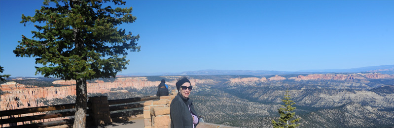
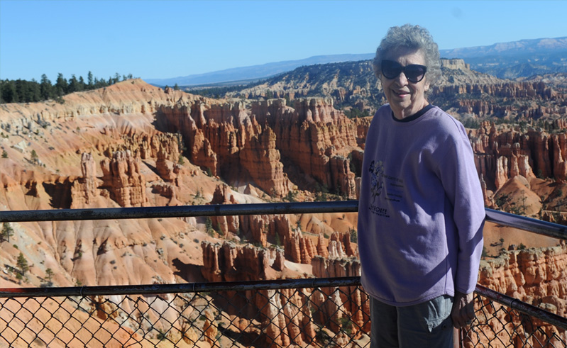
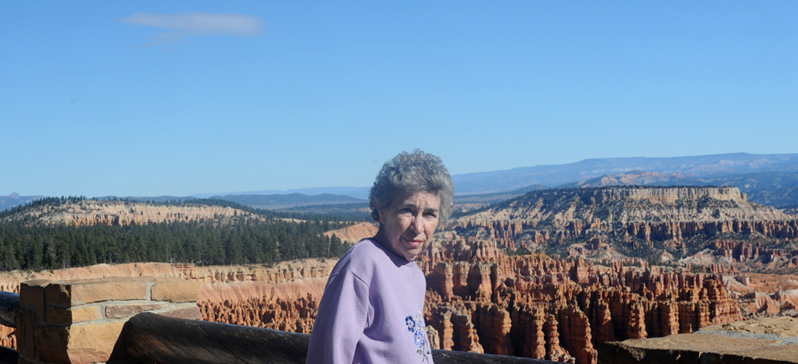
Brenda with the wide views of Rainbow Point, the last Viewpoint on the Bryce road. It is at over 9000 feet in altitude, and the entire road is in the neighborhood of 8000 ft. This was the first time we had been all the way to Rainbow Point, having stopped at Natural Bridge on the 1982 trip and at Sunset Point on the 2011 trip.

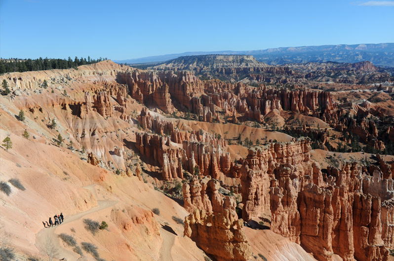
We watched some hikers on what I believe to be the Navajo Loop Trail. We took this trail in 2011 and also in 1982, but this time we only had a brief time to spend in Bryce.


Seeing the evergreens down in the valley was more meaningful to me because we had hiked through them on the Navajo Loop Trail in 2011.
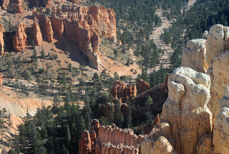
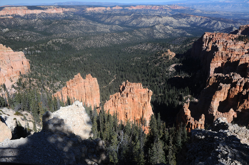
Down in the valley you can see hikers on a trail and the course of a streambed.
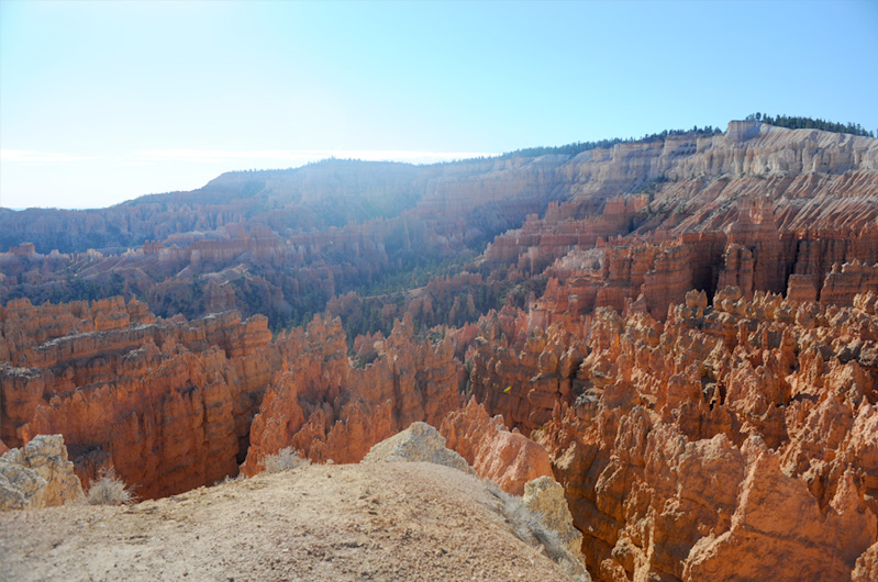
This is a view from Paria Point at 8175 ft.
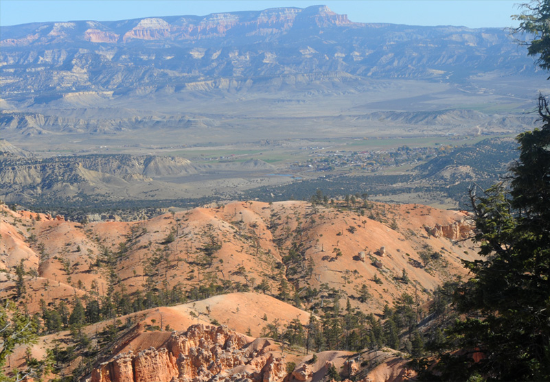
When I looked at this view from the Paria area, I thought, "Hey, that looks like a little town down there!" I had about convinced myself that it was Cannonville, where we spent the night, when I blew it up and saw the letters BV on the little hill beyond the town and to the right. Googling for letters on mountains, it came up "Bryce Valley" and identified the town as Tropic, the next town north of Cannonville. We had gone through it just a couple of hours before on our way to Bryce on Hwy 12. | 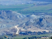 |
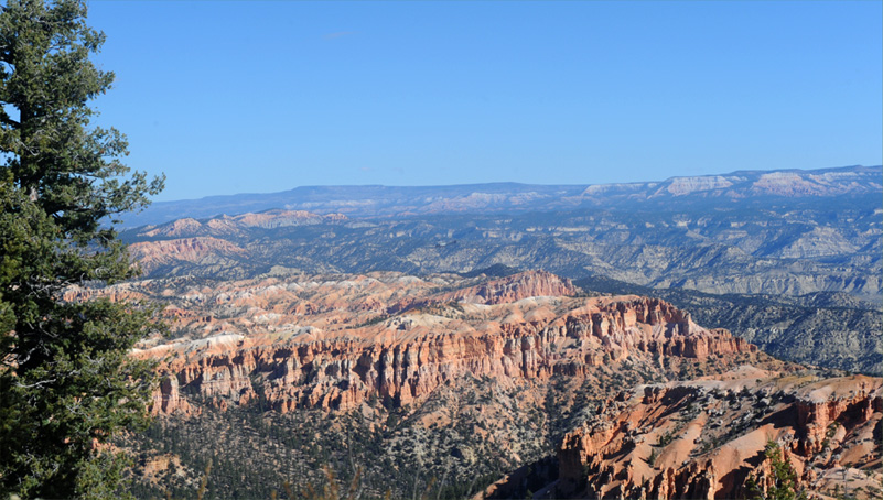
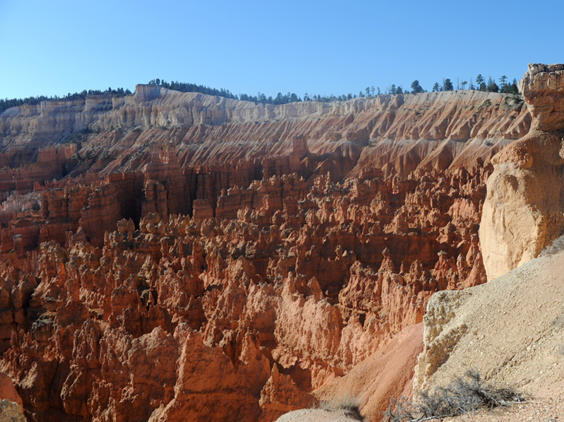
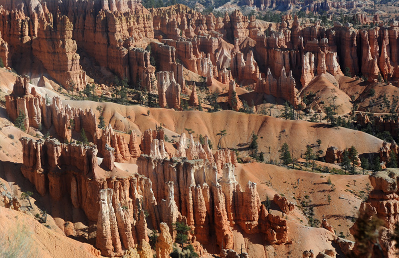
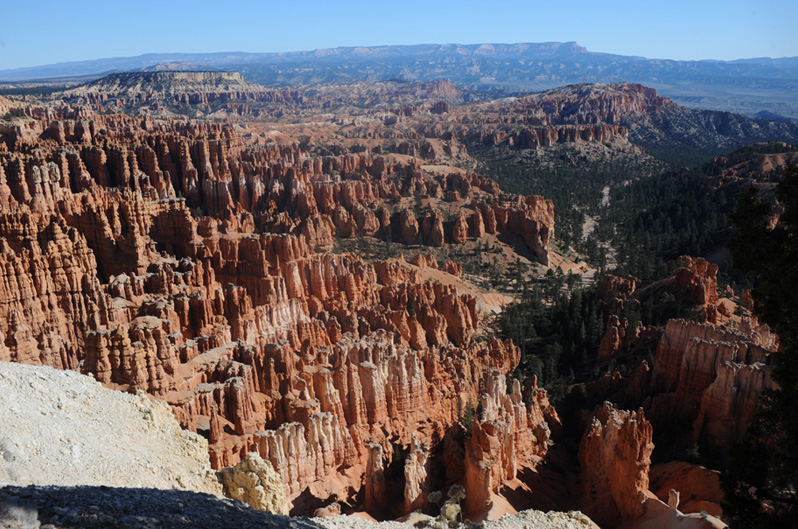
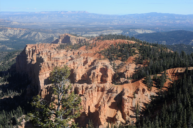
This is the view from Bryce Point at 8300 ft.
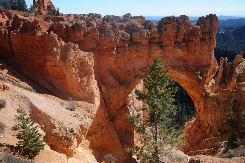
The view of Natural Bridge in Bryce is certainly a unique one.
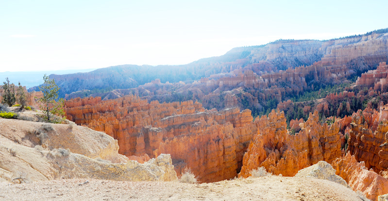
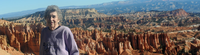
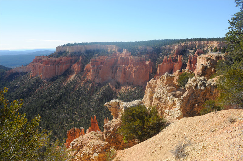
Rainbow Point is our last viewpoint at the end of the main Bryce Canyon road. It is also the highest at 9115 ft. This was my first view upon walking up to the viewpoint. It was just after noon, so from the shadows I'm guessing that this view is roughly eastward.
Swinging leftward from the view above, this view includes some forestland and I don't see any roads or indications of cultivation.

It took one more swing to the left to complete the panoramic view we got from Rainbow Point.
| Return to Green River |
| Women's Banquet |
2016