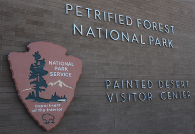
Painted Desert and Petrified Forest
May 31, 2011
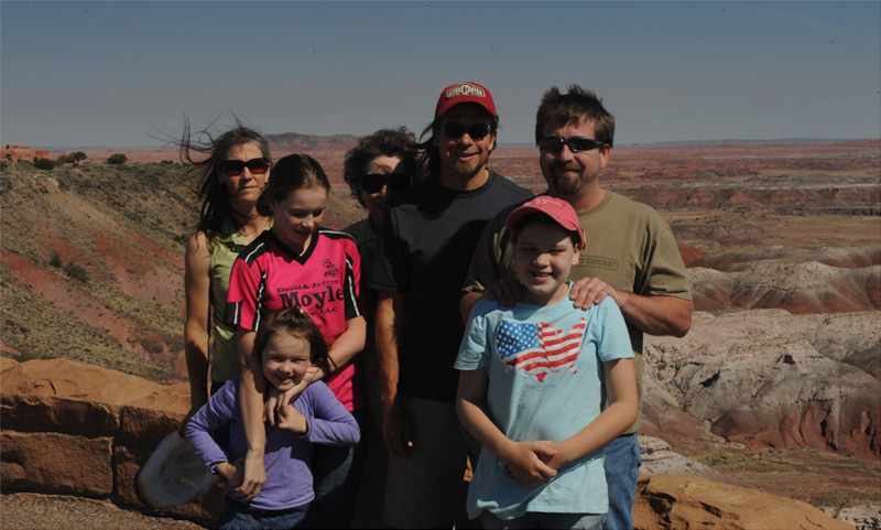
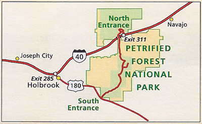
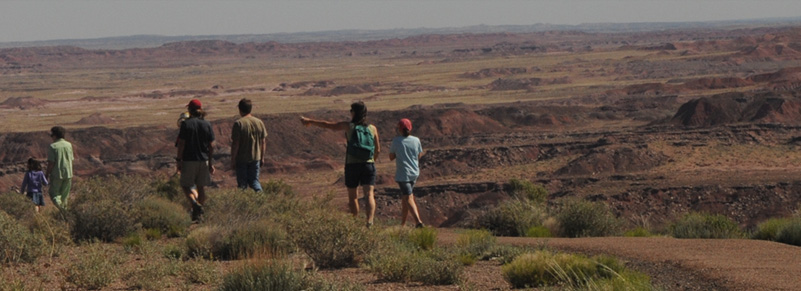
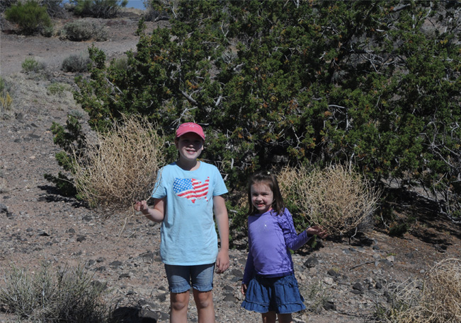
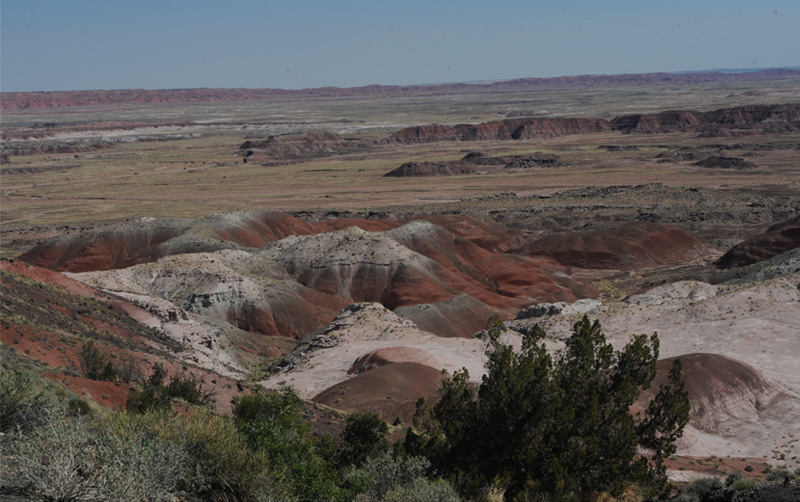
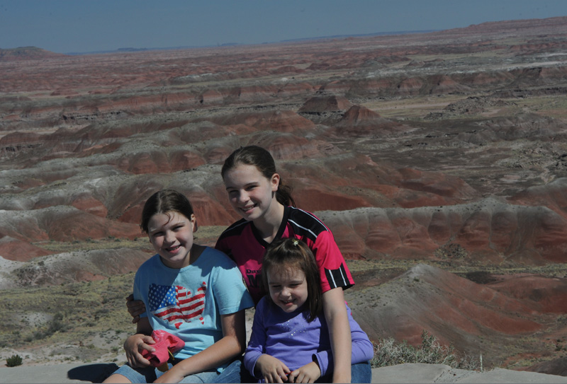
 Leaving Holbrook, we drove the thirty miles or so to the entrance to Petrified Forest National Park. The family poses below with a view of the Painted Desert, which forms the northern extreme of the park close to I-40. This is at Tiponi Point, the first overlook from the north end. | 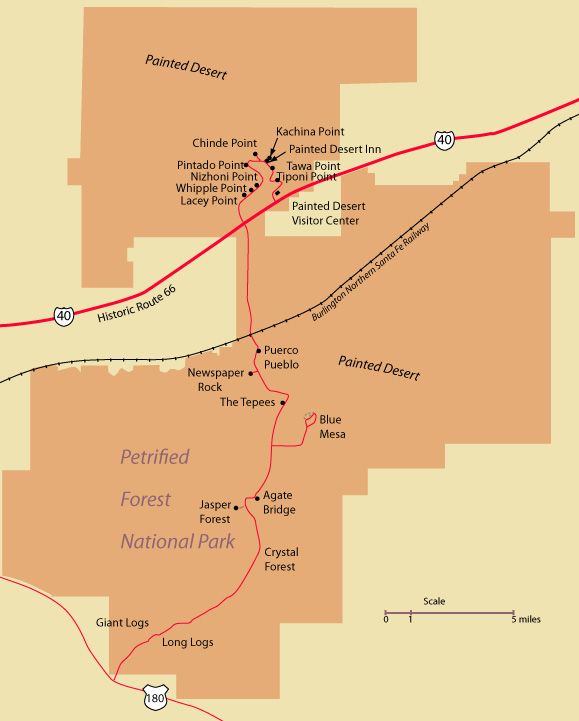 |
 |  |
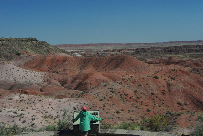
Jordan examines one of the nice information signs at a lookout in the Painted Desert.
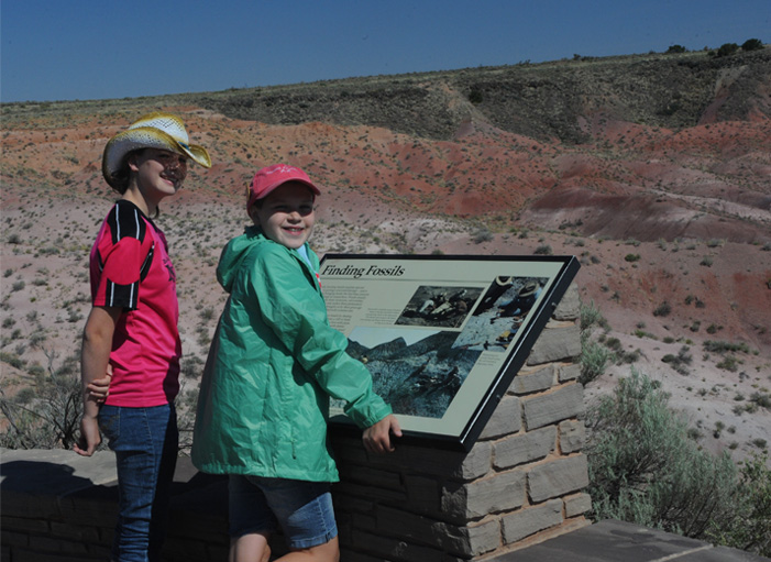 | Ashleigh and Jordan check out an educational sign on fossils. |
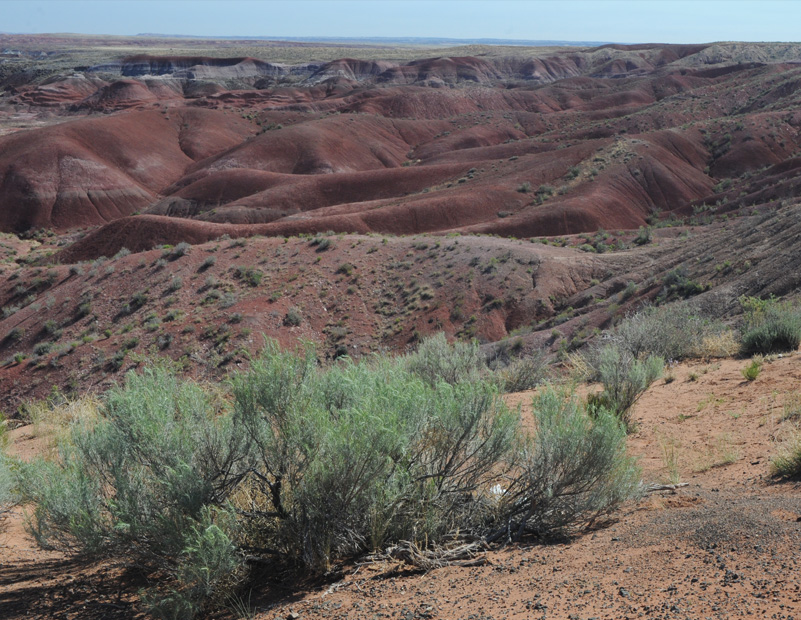
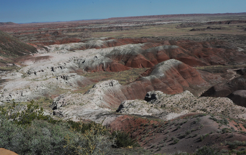
The whole family enjoyed walking along the trails at the overlook with the wide vistas of colored formations.
Tawa Point and Kachina Point
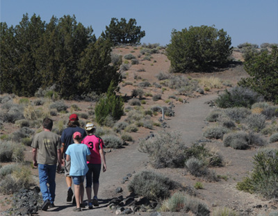 | 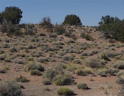 |
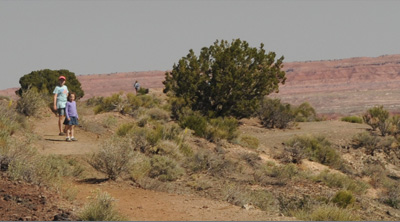
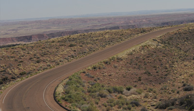
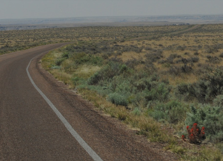
We moved on to the second overlook, Tawa Point, and found that it had an inviting trail to Kachina Point where the Desert Inn is located. Mark went back and got the car to bring it up, and the rest of us walked to Kachina Point. We got good views of the desert vegetation above the barren regions of the painted areas.
 | Jordan and Elyse were delighted to find real tumbleweed along the trail. 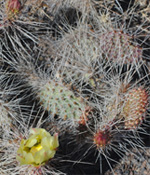  |
We followed the trail in view of the wide expanse of the Painted Desert. | 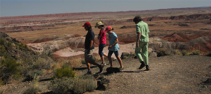 |
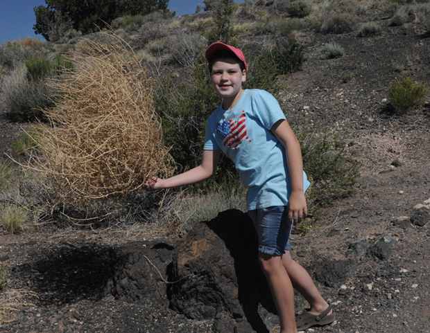 | Jordan finds another fine specimen of tumbleweed and sends it tumbling down the slope. 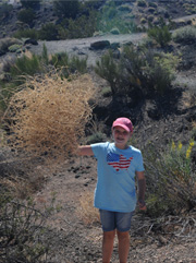 |
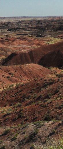
The hues of the Painted Desert change, and here show a lot of white-topped peaks. Elyse runs along the trail toward the Desert Inn. It was a 0.6 mile trail at altitude about 5800 feet. | 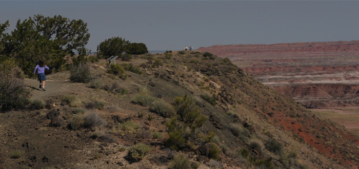 |
 Jordan and Elyse on the trail. At right, Ashleigh and Brenda approach the Desert Inn. | 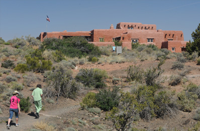 |
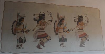 The Painted Desert Inn has murals by Hopi artist Fred Kabootie and a museum collection. The old inn was refurbished by the CCC in the 1930s. In back was a good view of the Painted Desert. | 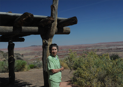 |
Jordan, Ashleigh and Elyse at the lookout at Kachina Point.
Pintado Point
 |  |
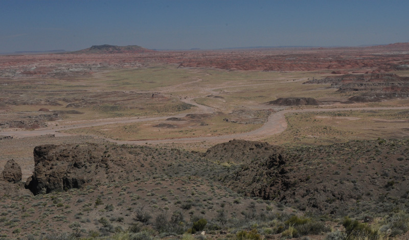
In this photo is a dry stream bed with the imposing name "Lithodendron Wash". There appears to have been flow in the not too distant past. The flat-topped peak mid left is Pilot Rock which is 7 miles away. An information panel showed a picture of the San Francisco Peaks near Flagstaff which are 120 miles away, but it wasn't clear enough today to see them. There is a major forest fire burning in the south part of Arizona.
Puerco Pueblo
 | We drove a little further this time, crossing both Interstate-40 and the Burlington Northern Santa Fe Railway to get to the site of old ruins called Puerco Pueblo. That literally means "pork village" or "pig village", but in today's usage it would be even more unflattering - a Spanish translator rendered it "filthy village". The ruins were just across the railway, and very close to an old town from the railroad building era called Adamana. An information panel told us that early visitors to Petrified Forest came by train to Adamana. They toured the park in open-roofed "Harvey Cars", named for the Fred Harvey Company, which operated hotels and dining all along the railway. We heard and read a good bit about the Fred Harvey operation at Grand Canyon. The old Route 66 came through the park, replaced by Interstate 40, so many early visitors came to the park by car. |
This is one of the Puerco Pueblo ruins. You can see how close it is to the railway. The sign suggested that something like 18 families homesteaded here near the Puerco River in the period 1100 - 1200 and perhaps in the 1300s. They may have been ancestors of modern Hopi and Zuni . | 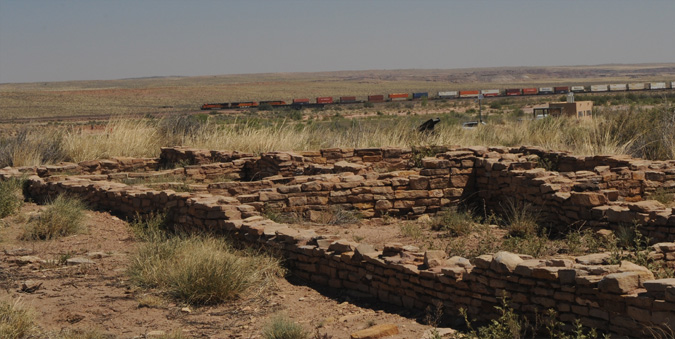 |
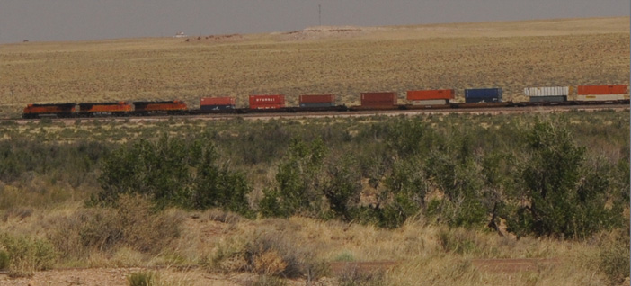 | These long trains across the desert were very frequent. One of the information panels said that more than 60 trains per day come through the park. We had followed the tracks for about a hundred miles coming from Flagstaff, and we saw lots of trains. |
 Jeff and Mark and I were keen on going down this trail to see the petroglyphs described, but the trail was closed for an unusual reason! Bees swarming! I wonder if they were "killer bees". I was surprised to find the delicate white flower below in this desert.  | 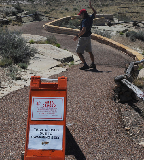 Jeff walked down the trail a few feet and began to flail his arms as if he had been attacked by the swarm. Certainly consistent with the spirit of clowning around that both boys exhibited when we were here in 1982! |
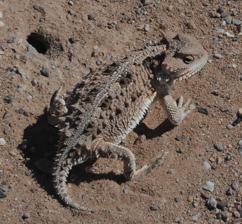
Leave me alone! I'm waiting for breakfast to come out of this hole.
I was surprised to find this fine specimen of a horned toad sitting by the trail as we came back. I was able to get quite close to him. I attributed that to his being reluctant to move as he was waiting for breakfast to come out of that small hole in front of him.
Newspaper Rock
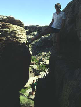
 It was disappointing that this was as close as we could get to Newspaper Rock when on our 1982 trip we were able to walk all around the area. | Jeff and Mark on rocks you can only see by telescope now.
 |
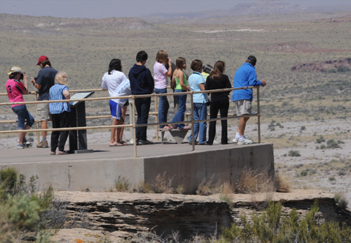
At least you would have to say that they poured the viewing platform in a good location. You get a good view of Newspaper Rock and the petroglyphs. Their information panel said there were more than 650 of the petroglyphs. and that they were made by the people who farmed the Puerco River valley 650 to 2000 years ago. | 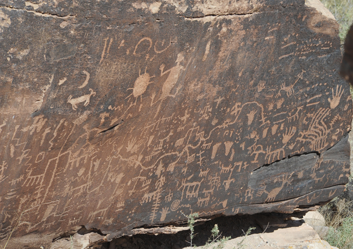 |
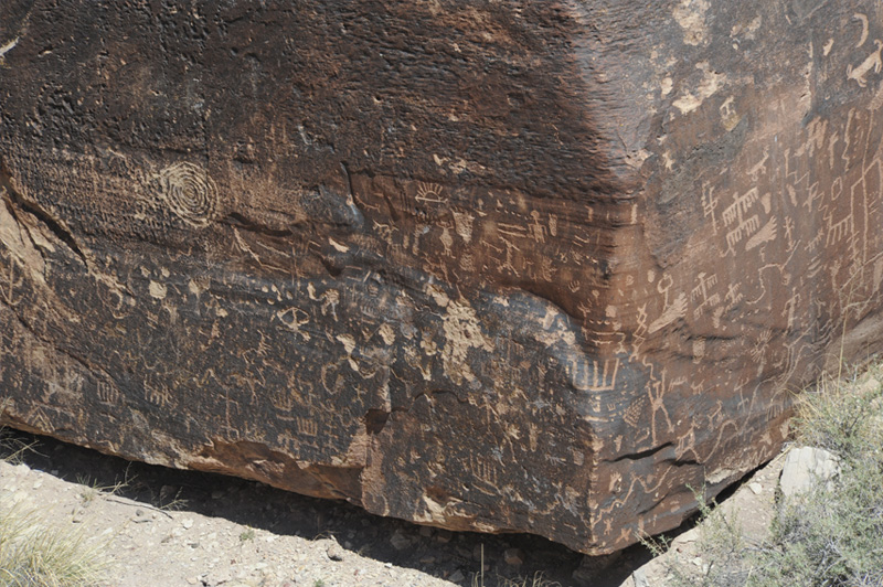
These two views cover all the petroglyphs I can see. And I can see some marks that look like modern vandalism, so you have to understand that they have to take some steps to protect these irreplaceable artifacts.
The Tepees
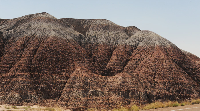 | The teepees are rounded humps which have multiple colored layers. I guess they do look a bit like tepees. |
The larger formations here had more colored layers. | 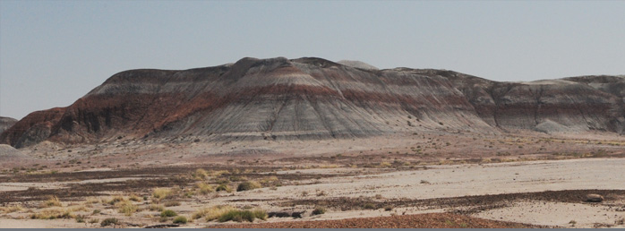 |
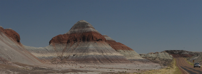
 | The road through the tepees gives a sense of scale for these large formation. |
| On to Blue Mesa |
2011