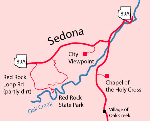
Red Rock State Park
May 24, 2011
 |  |
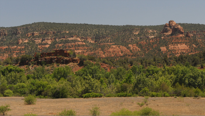 | This is the view of the valley from the Red Rock State Park visitor center. The house is called "The House of Apache Fire". It was built in 1947 by Yavapai and Apache Indians from Camp Verde, along with local residents. It is now part of Red Rock State Park. The house is built with thin, flat rocks and resembles a pueblo. |
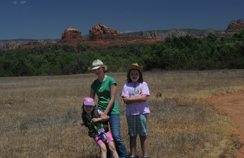
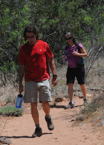
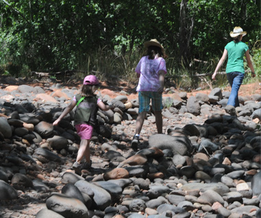
There were several hiking trails so we headed out on one of them. 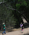 The girls head down the trail and across Oak Creek. 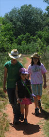 |  |
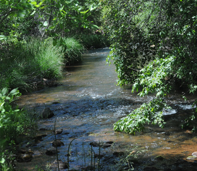
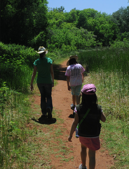 |  The trail paralleled Oak Creek. It was surprisingly lush considering that we are in semi-desert, and our understanding is that it essentially doesn't rain at this time of year. The sand must be so permeable that the plants get water from the creek. |
 |  |
 |   |
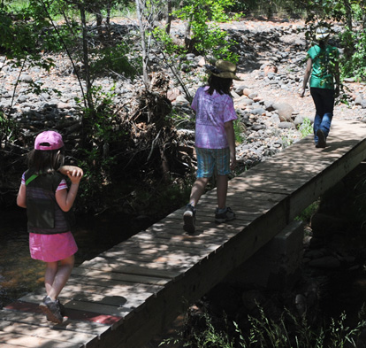
The creek was an attractive place to explore further. The girls come running back across the bridge after further exploration. 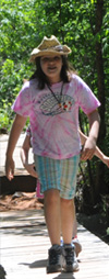 | 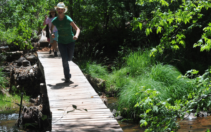 |
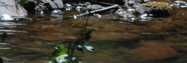
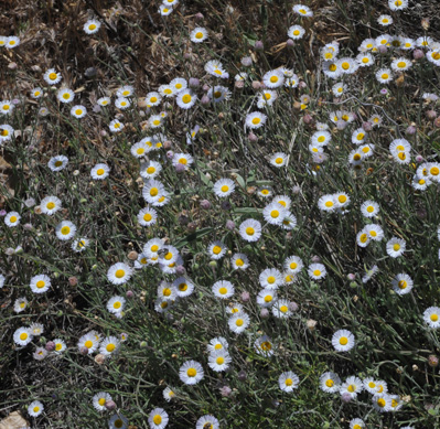 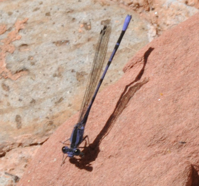 | 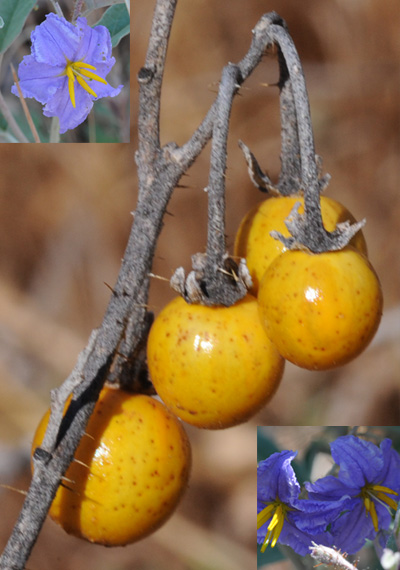 There weren't a lot of flowers in the park, but such as there were did add to the beauty of things, as did the delicate purple dragonfly. The white daisies were like our daisy fleabane in Georgia. There was a whole field of the hard yellow berries that grow on the small sticker bush. We have a similar plant in Georgia and I've seen them many places. In the open field they were all dried, but the blue blooms still persisted on some nearer the creek where they had access to water. You could have gathered a bushel of the yellow berries in the open field - they were everywhere. |
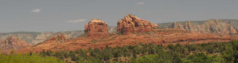
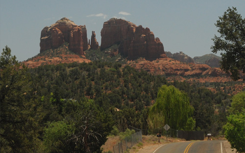
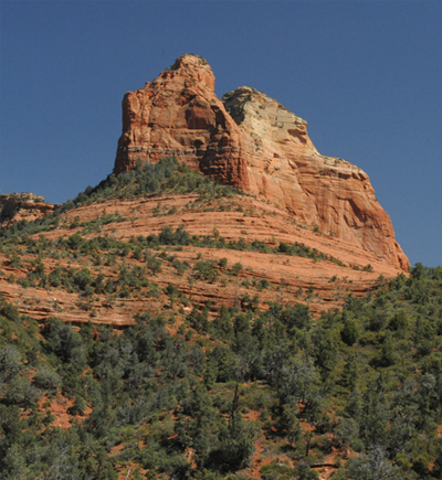
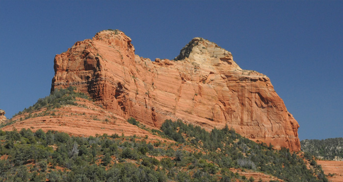 | We left Red Rock State Park a little after 2pm and at about 3pm we were north of Sedona and getting some more nice views of the red rock formations. |
 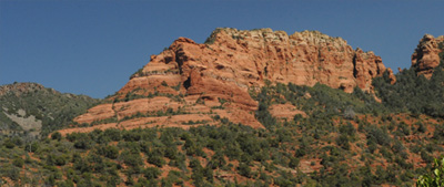 |  |
We said goodbye to the nice red rock formations and entered a different world. We drove up the winding Oak Creek canyon and then ascended on an amazing set of switchbacks up to the top of the narrow wooded canyon.
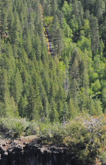 | We looked down into the deep canyon from the top, and then discovered the road on which we had driven up the canyon as seen at left. 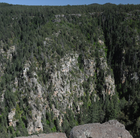 |
On the top edge of the canyon we were at a scenic overlook called "Oak Creek Vista", and when we moved to a different point of it we could see some of the switchbacks we had taken to climb out of the deep canyon. We could see the road at four different points, and seeing motion through the trees we could tell that there was a fifth point at extreme left. Quite a collection of curves! We had actually driven this route before on the end of our day of exploration of Petrified Forest back in 1982. The road wasn't nearly as well-engineered then, and we were driving our 1972 VW Camper. | 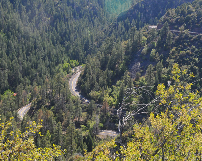 |
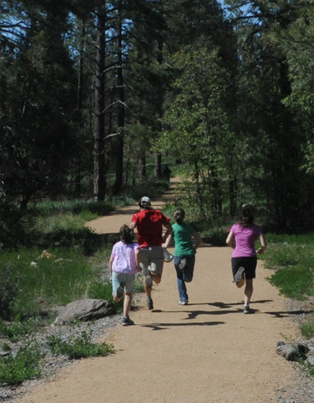 | We had driven for about an hour and ten minutes to get here from Red Rock Park, so were in need of a stretch. Jeff proposed a race down the nice walking path, and the four of them took off. Of course Brenda had to stay with Elyse, and my excuse was that of course I had to take pictures of the event. 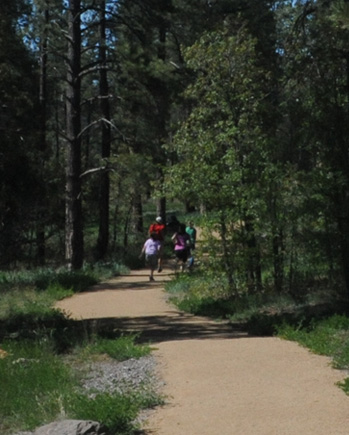 |
The San Francisco PeaksJust north of here we rejoined I-17 and went the short distance north to Flagstaff and then west on I-40 to Williams. The only real surprise along the way was seeing snow on tops of the peaks. We found out that these were the San Francisco Peaks located about seven miles north of Flagstaff and topping out at 11,500 feet. There is a famous ski resort there called the Arizona Snowbowl. We had time to settle into our motel rooms and then walk down the street to a restaurant for a nice dinner together. We had decided to make tomorrow our early run for the sunrise at Grand Canyon, so we settled in early. | 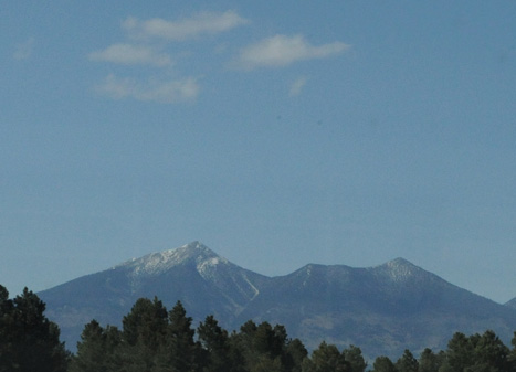 |
| South Rim, Grand Canyon |
2011