Valley View Trail, Saguaro National Park
May 21, 2011
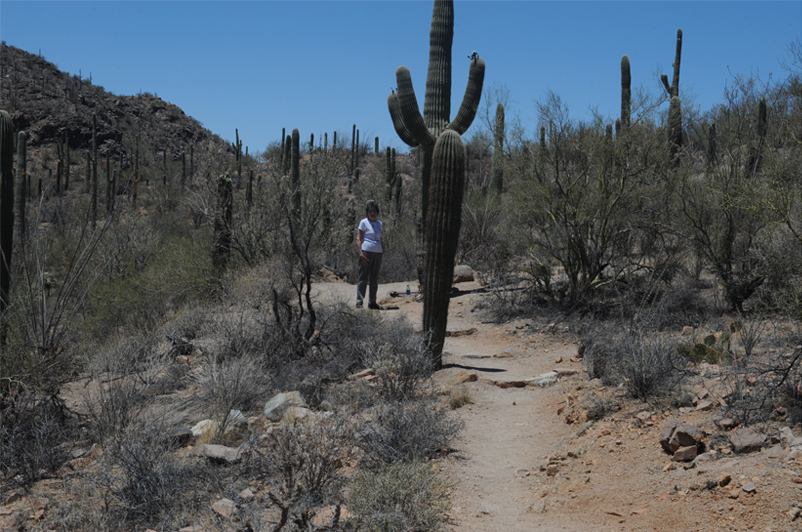
We drove to the branch of Hohokam Road and drove this one-way dirt road to the trailhead for Valley View Trail. It is a 1.5 mile trail prepared in the 1930's by the CCC men. 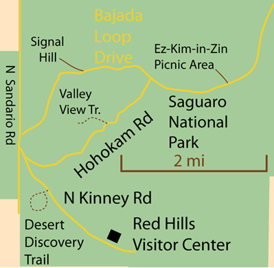 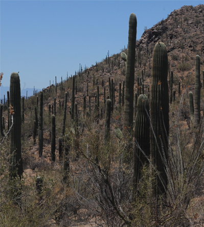 | 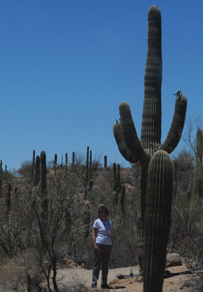 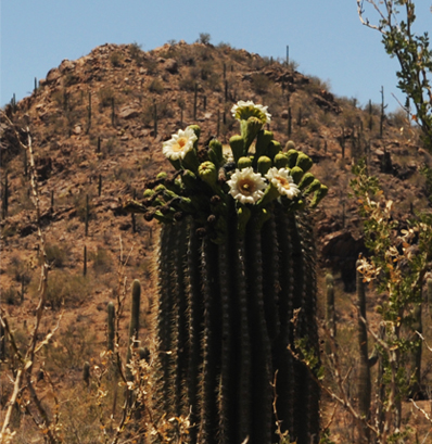 |
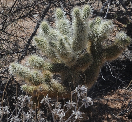 | 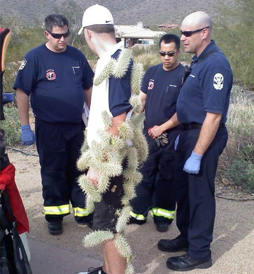 |
Some of the plants were labeled and this was called a "teddy-bear cholla". It certainly didn't seem like a teddy bear to this unfortunate golfer. That variety was called "jumping cholla", so we were glad we observed from a distance.
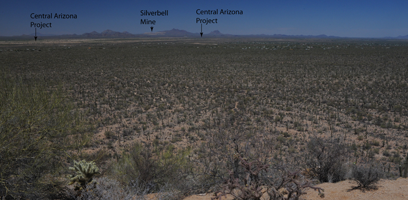
We walked the 3/4 mile trail to the cliff that looked off into a broad flat valley, the Avra Valley. This was the valley view that had been promised. A labeled sign there pointed us to a silver mine and to two locations of the Central Arizona Project. This is a large project for transferring water from the Colorado River to southern Arizona for water supply. Part of the job is pumping it to a higher altitude, so it takes energy provided by the Navajo Power Plant, which we were to visit later near Page, Arizona. |  |
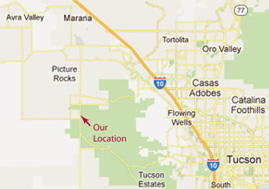
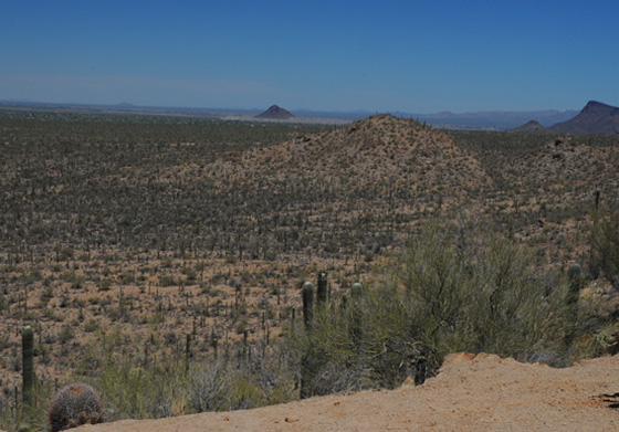 | 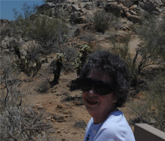 We sat on a bench among the cactus at the edge of this cliff and took in the wide Avra Valley. We were looking roughly toward the northwest, parallel to I-10, so Picacho Peak which we passed on the way is actually in view. The map below shows our location and direction of view. |
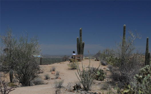
|  This is a different perspective on our lookout position from which we had the valley view. |
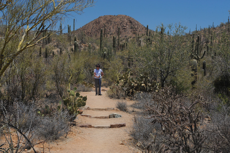
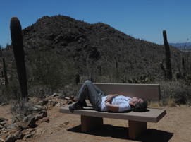  | 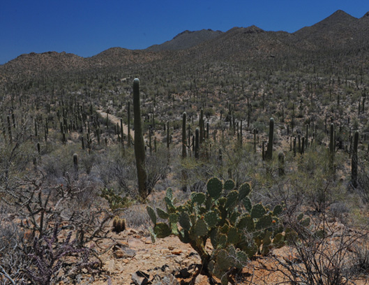 We took a short sidetrail to another viewpoint that let us look back at the trail we had followed in. The view above is back along the Valleyview Trail. Brenda finds a nice bench to relax on for a few moments. There were very nice examples of teddy bear cholla cactus there, nice as long as you steer clear of them. |
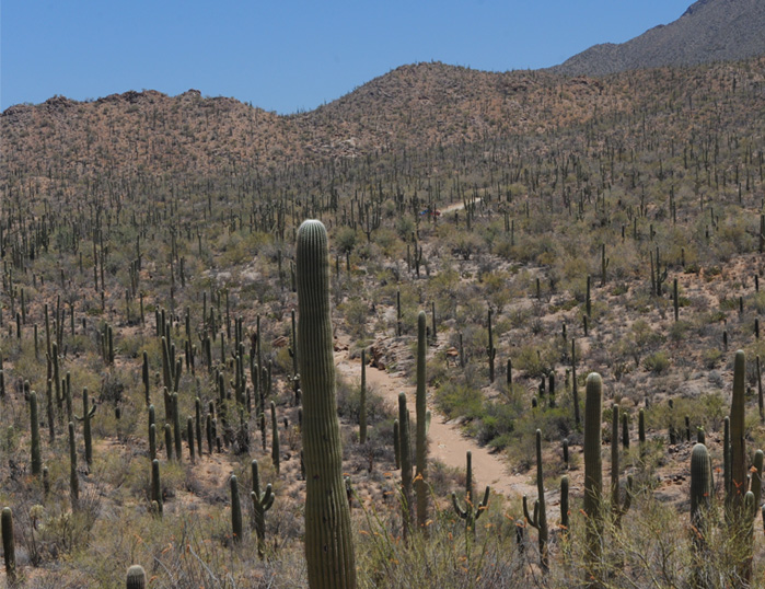
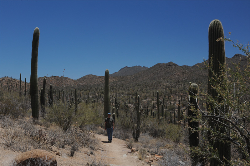
| We head back out the Valley View Trail. For folks who had never seen a Saguaro in the wild before today, this was quite a vista with hundreds of them in view. |
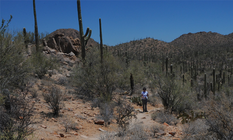
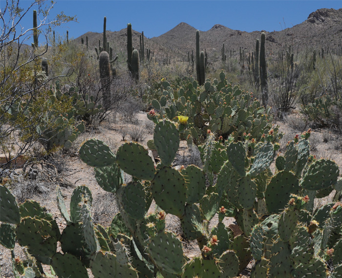
| I suppose the majority of the cactus we have seen in our lives have been of the prickly pear variety shown here in abundance in the foreground. But today the prickly pears were definitely in the minority among the abundance of saguaros and multiple other varieties thrown in. |
Brenda is among some of the largest saguaros we saw. We read that some were as tall as a four-story building, and I believe these were. About thirty miles behind Brenda's head are the marks of the Silver Bell Mine on the mountain across the Avra Valley. | 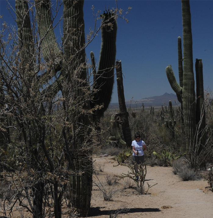 |
| Picture Rocks |
2011