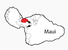
Southeast Coast of Maui
June 24, 2018
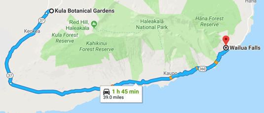 | We left Haleakala about 1pm with the route at left on my mind. It looked like our Hwy 37 and then 360 would take us to Wailua Falls. Those Hwy numbers and almost everything else I read about this route were misleading or just plain wrong, leading to a significant adventure for the afternoon. Jeff's driving got us through a narrow, twisting wilderness road. |
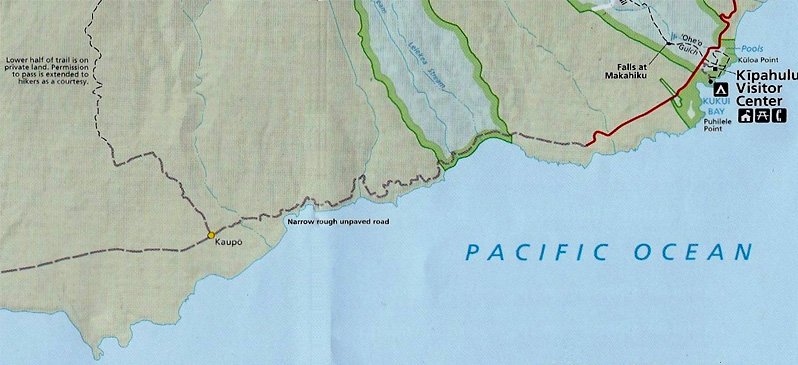 This section from the map of Haleakala National Park gives a more realistic assessment of the road with "Narrow rough unpaved road" even though it was in fact paved, just one lane and rough. This map also suggests that Kaupo is at least a village.
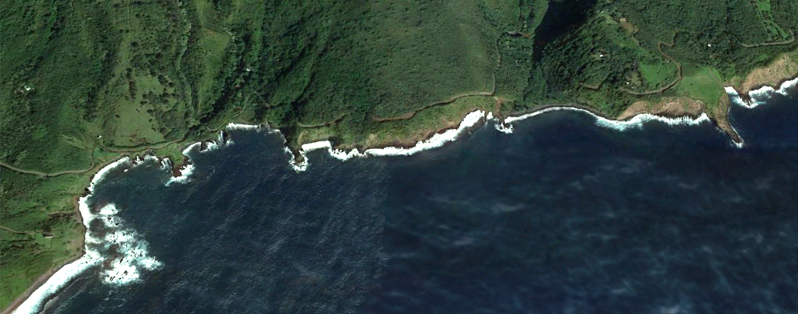
| We retraced the wiggly route down 378, then left on 377 past the Kula Botanical Gardens, and then joined Hwy 37. About 1:30 we got this view of the southeast coast for which we were headed. There are about three river or stream beds showing, and I think the straight line at the left extreme is the road we would follow. | 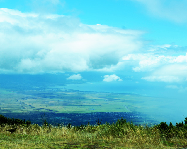 |
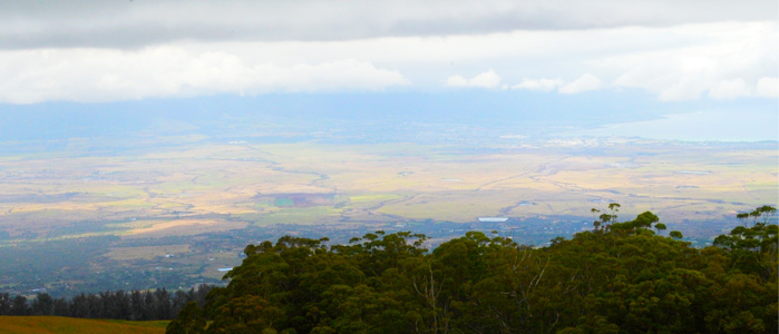 | We are now below the cloud strata and catch a glimpse back toward Kahului where our ship is docked. |
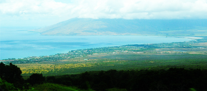
| At this point I was surprised to see both coasts! Kahului on the north coast at right, and the south coast on the left. I didn't anticipate this kind of view.
|  |
| We are coming down switchbacks, but the quality of the road is good. | 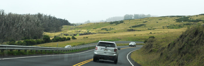 |
 | Lots of evidence of farming, but no dwellings in sight toward the south coast. |
| Road quality still good. Road lined with ancient looking stone walls. | 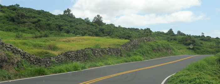 |
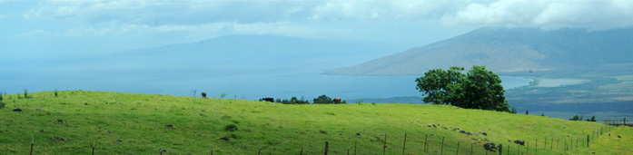
 | As we got lower, we could see that there was considerable housing close to this bay which is directly south across the island from Kahului. We didn't see any coastal housing further east from here. |
| As we moved further eastward, the coastal land looked more like bare lava. | 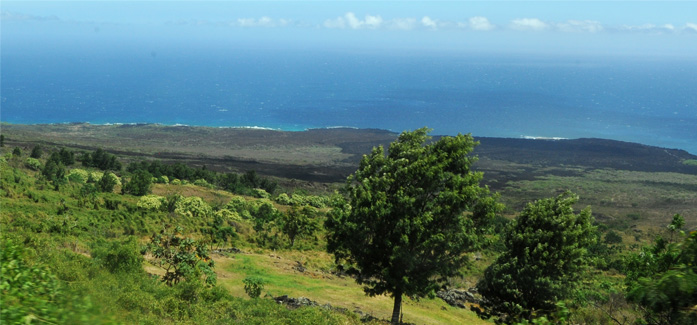 |
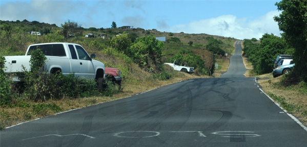 | I hardly noticed this point when I snapped this picture at about 2:10pm. But in retrospect it is instructive in view of the fact that it was about here where the road changed dramatically. The big "SLOW" painted on the roadway is suggestive. Some of these vehicles may have just been parked so they could ride with someone else. And the vehicles up on the grass appeared to be damaged. |
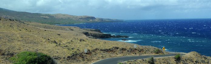
| The view of the south coast was more open and attractive now, but no signs of human habitation. Close to the coast looked like bare lava. | 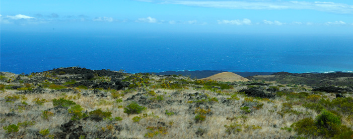 |
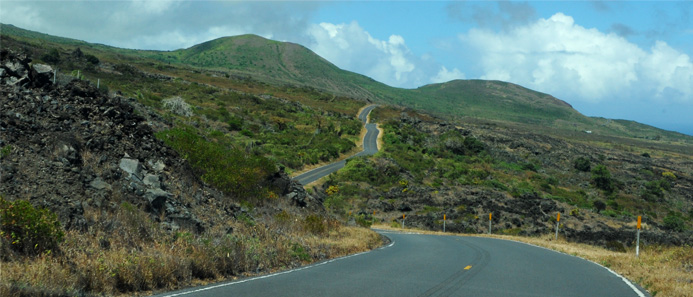 | The road was not bad, but now it snaked through this uninhabited area up on the mountainside and did not drop down close to the sea. |
| Suddenly we came upon this straight row of massive wind turbines pointing down the mountainside toward the sea. | 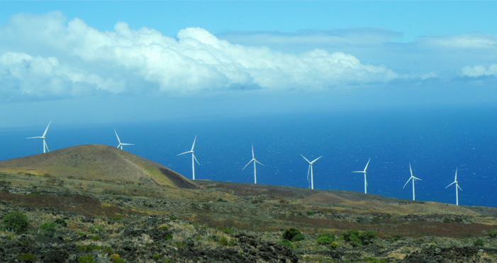 |
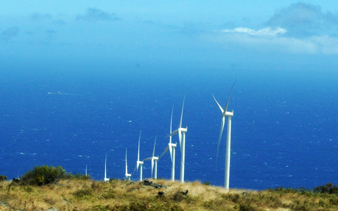 | From our vantage point, we could see no buildings or other support structures. |
| Something to investigate. | 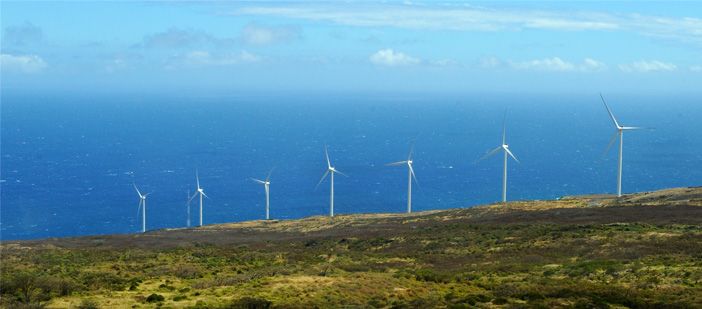 |
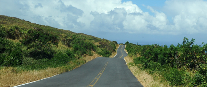 | We had hoped that the road might lead down to the sea and a village or so, but it remained up on the mountainside. |
| The sea was attractive, but we were certainly in a more remote area than we had anticipated. | 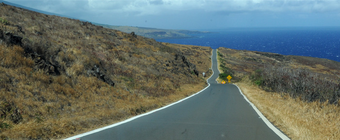 |
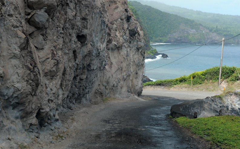
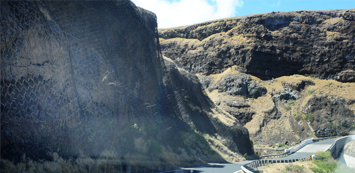 | We did drop down close to the sea here, but it made the gullies you had to cross larger. Note the large metal mesh to control rock fall. |
| The bridge gave a view of the sea and of the approach road. | 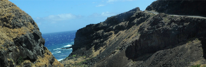 |
 | I liked this part of the road with its views of the sea. |
| This area gave us our longest stretches of road by the sea. | 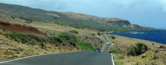 |
Kaupo
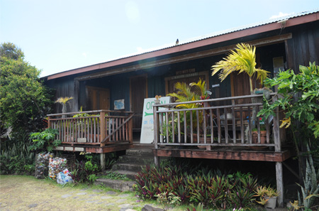
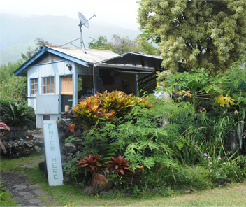
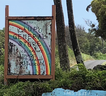
 | The map shows Kaupo as a village along Hwy 360, but the structures below are it! We reached there at 2:45pm. To be fair, this is called the Kaupo General Store, but it wasn't open. The little structure to the right was occupied by a lady who had a selection of souvenirs under a canopy and in the structure had two ancient refrigerators filled with fancy Hagen Daz ice cream. I bought an ice cream bar, and Brenda bought a small item. The last stretch of road to here was terrible, and she was nice enough to tell us that it would be that bad for another 20 minutes or so and then get a little better. |
This was the total public presence we saw of Kaupo.
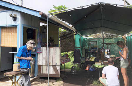 |  |
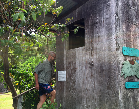
The lady was nice enough to let us use her bathroom, which was more like an outhouse. But it had a clean commode and was clean. And it was certainly the only restroom facility we saw on the whole road.
It was intriguing to me that this one lady, probably in her 60s, was the only person other than in vehicles that we saw on the whole road. And she was vending high-end snacks, presumably for the folks that came in on some kind of wilderness adventure. Crazy folks like us.
I did read on the web that there was a very remote village of Kaupo off this road up the mountain which was very secretive. One map showed a little track to it, but I didn't see it. Aerial view show a handful of houses scattered around.
|  |
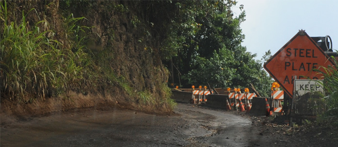 | This is part of the road we encountered almost immediately after leaving Kaupo. This was a construction area, but we encountered several stretches of road this bad. |
| What are all these nice cars doing out on this primitive road?! We don't yet know the answer to that. | 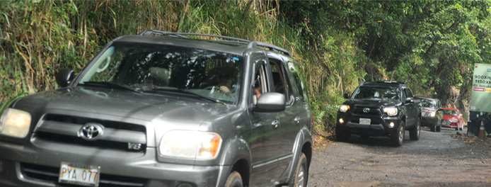 |
To this point I have shown most of the nicer areas through which we traveled, but we had encountered several narrow primitive areas where we had to stop or even back up to let someone pass. And in a couple of those areas we encountered what appeared to be 20 passenger tour vehicles with dual wheels followed by five or so cars!
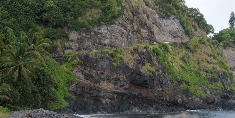
How's this for a nice tour road around the coast of Maui? When we rounded this turn, we met one of those tour buses with several cars behind it. So Jeff backed up the hill into a slightly wider spot by that power pole to allow those uphill vehicles to pass. You might be able to see that across the little bay, the road is cut into the side of the hill there and another tour bus is coming down it.
Now this is what we are headed for - a winding one lane road, with two tour buses coming in our direction. Jeff managed to squeeze by them by finding slightly wider spots on the road. Note that the second bus is coming around a completely blind turn on a one-lane road! Besides all this, this place is really beautiful!
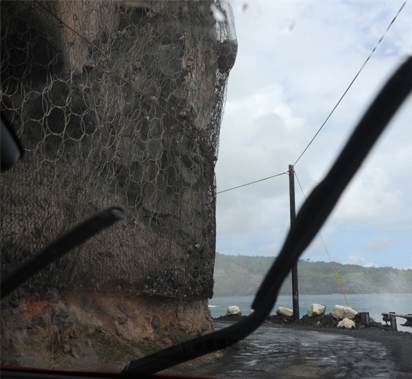 | OK, it has started raining, we are traveling along this rough one-lane road hanging on the edge of a cliff, and we are approaching a blind curve! The only thing keeping the rocks above from falling on us is this strange, large mesh screen wire. Can it hold that big rock suspended in the middle there? This is all part of our afternoon adventure. |
There are lots of other folks out here exploring like we are. But most of them are coming from the other direction, and we found that their direction was given the right of way on the one lane bridges. | 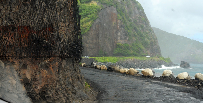 |
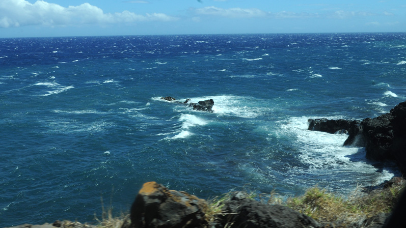
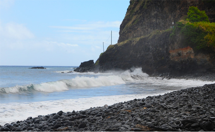
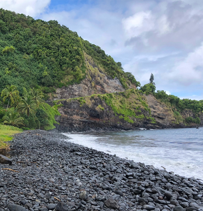
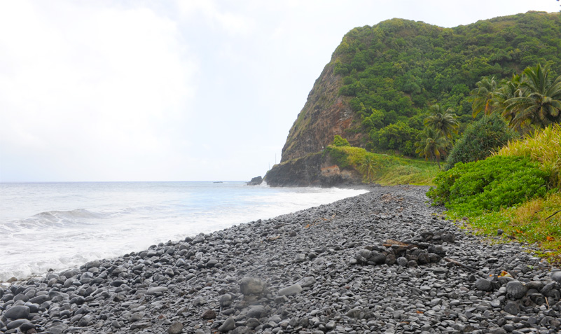 We stopped at this remarkable shore location which had large rounded gray rocks. This view looks back on the road that we had just traveled, chewed out of the edge of a cliff.
 | That's the only coast road, up there on that ledge? |
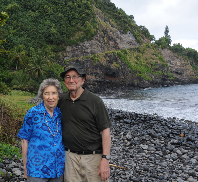
 Jeff and Darla on this rocky shore of east Maui. And he is probably barefoot.
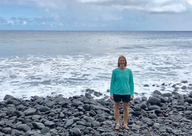
 Brenda on the rocky shore. Behind her is the road we will travel when we leave here.
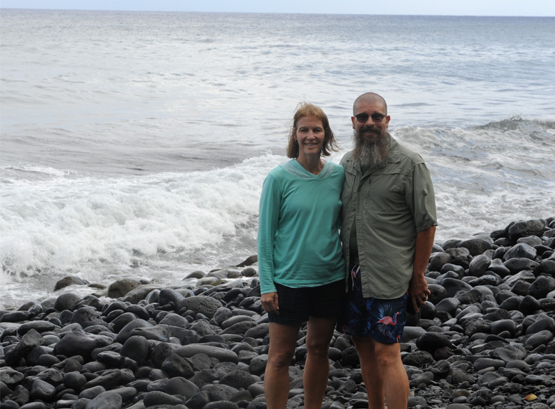
 Brenda and Rod on the eastern Maui coast.
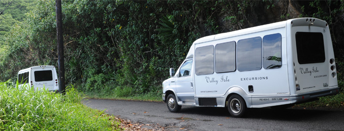 | These are typical of the type of tour buses we met out on these one lane roads, and we met at least a dozen of them. Some were larger, dual-wheeled units. And for every bus, we probably met a half dozen cars. |
 I found this rocky shoreline amazing. It would surely have its origin in a lava flow, but how did the action of the waves create these large rounded stones. I would have expected black sand. It means that the lava flow somehow broke up into large chunks, which were then tumbled for millenia by the waves.
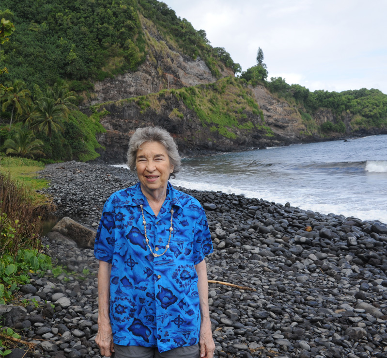
 Darla on the rocky shore.
The above is our way ahead as we climb from the rocky shore location. This is what Jeff met on the way up, but he had handled this kind of situation beautifully all afternoon. We appreciate him doing an expert job of driving through this primitive road. | 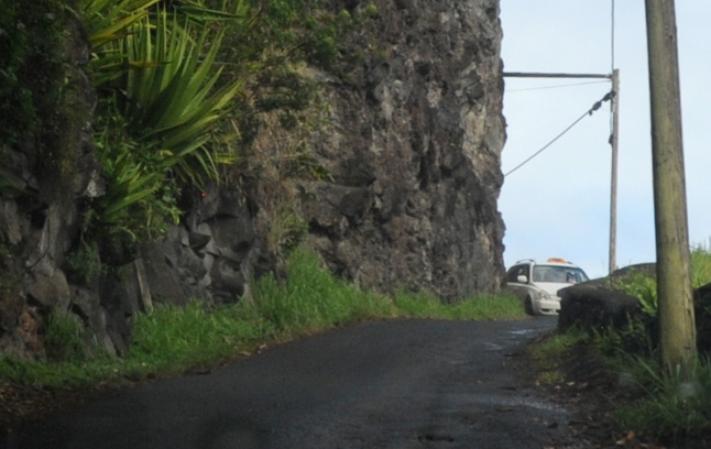 |
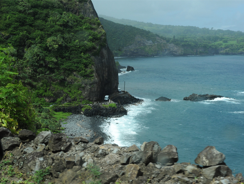
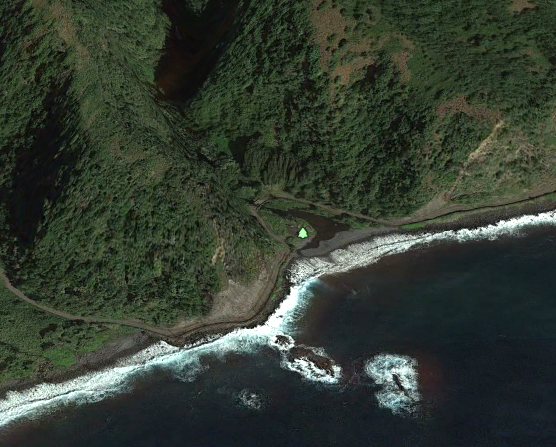 | Above is a wider aerial view of the coast road over which we had just traveled. My best guess is that the location at which we stopped is that shown at left, which includes a small camping spot named the Lone Keawe Campground. |
.
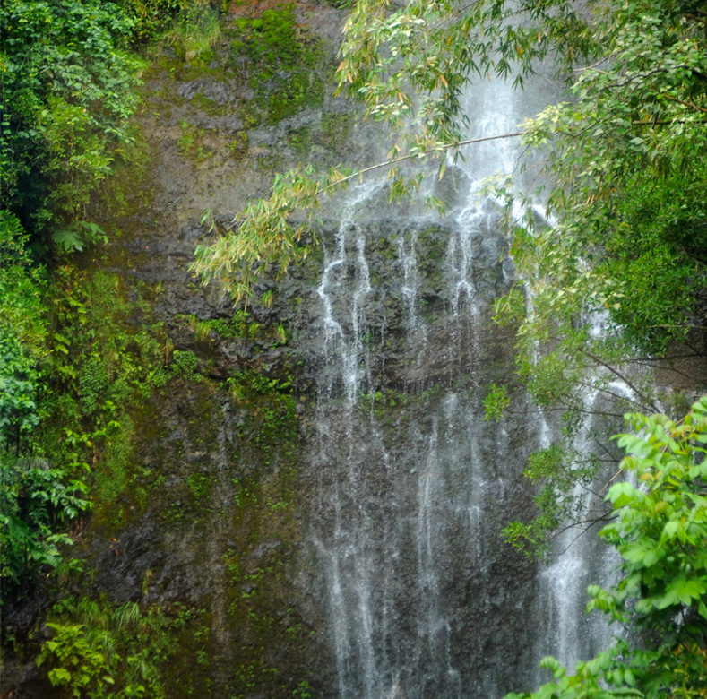
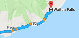
This is a part of Wailua Falls I believe. This was my end marker for this phase of the journey. We reached it at about 4pm, so a three hour drive from Haleakala. | 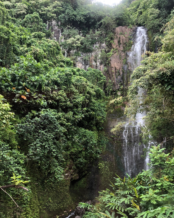 |
Some references:
Back road to Hana
|
Index
2018 |