The Crooked Road from Hana
June 24, 2018
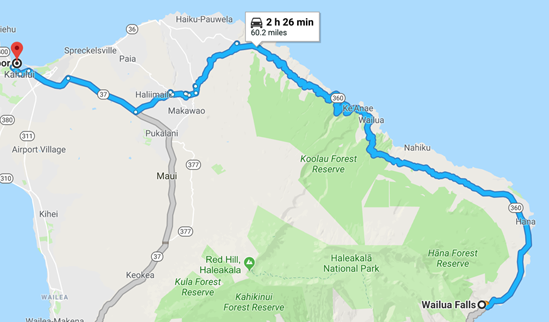 | After our trip to Haleakala and our adventurous trip around the southeast coast, we were on our return leg from Hana to Kahului and to our ship. This route is famous with the title "the crooked road to Hana", but we were doing the return trip and we now knew that the road around the southeast coast was more dramatic. We left Wailua Falls at 4pm. |
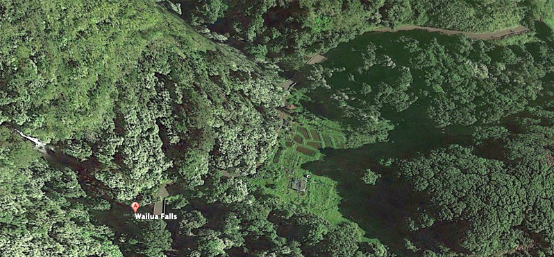
| Wailua Falls was one of the focal points that I had read about, and it was certainly dramatic and attractive, but we had been on the road over five hours and had the 60 mile return leg to do over the famous "crooked road". So we passed it by. | 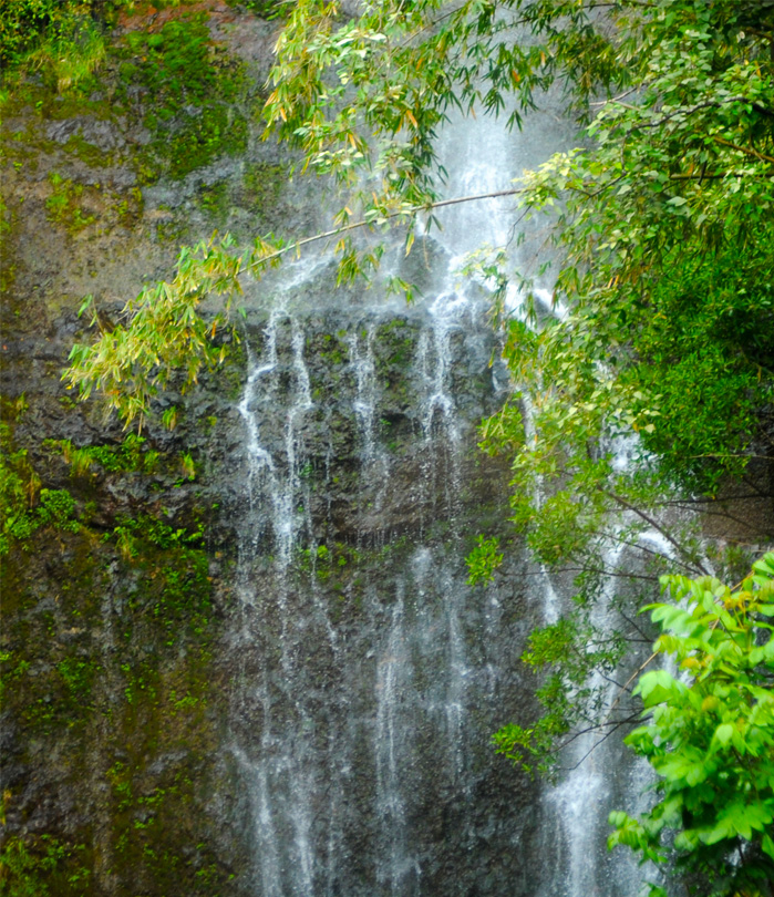 |
 | This flowering tree beside the road reminded me that I had not taken the time to record the multiple and beautiful variety of flowering trees in Hawaii. That's one of my fond memories even from my 1959 trip - flowering trees everywhere! |
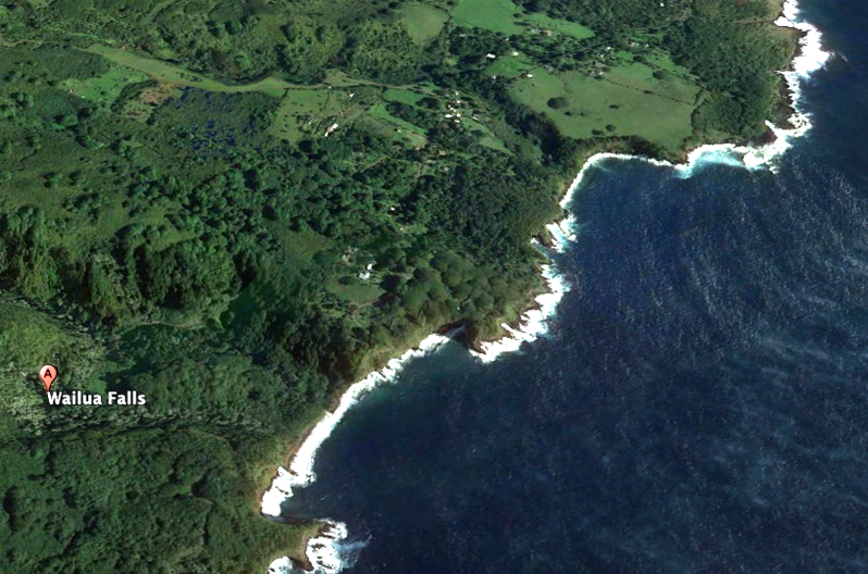
I had loved the rugged and desolate coast we had followed, but it was some degree of comfort to see that we were approaching civilization again with this herd of cows. We passed these before we saw any houses like those shown in the aerial view above. | 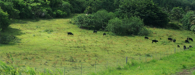 |
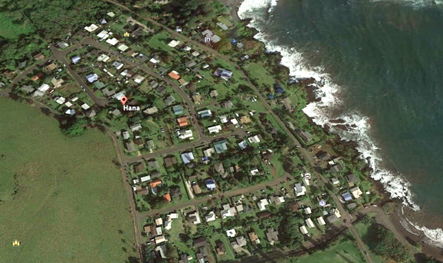 | We basically missed Hana. We drove along, seeing more and more scattered houses. Then a church and a couple of informal food vendors. Then before we knew it , we were out of Hana. I was looking toward the sea and assumed that most of Hana was below us on the coast, when it actually was on our left away from the sea. It was also partly a feeling that we needed to keep going since we had a long way to go, considering the nature of the road. |
These are the texts on the survivor T-shirt that Jeff and Darla bought for me after this trip. The data is generally agreed upon except that the 68 mile length is all the way to Kahului. The official Highway to Hana was put on the National Historic Register in 2001 and starts in Paia where we would visit tomorrow. 52 miles is the length quoted elsewhere for the Hana Highway. One source adds that of the 59 bridges, 46 of them are one lane! From the references cited below comes the information that a road to Hana was started in the 1870s. The current one-lane concrete and steel bridges date to 1910 with the exception of one that was washed away by a flood. The complete road was not opened until December 18, 1926 and was not completely paved until the 1960s. When we approached one of the 46 one-lane bridges we had to see who had the right of way, and it was more often the traffic meeting us, headed for Hana. |  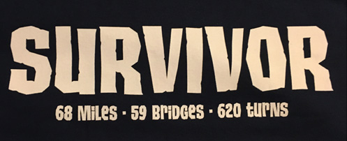 |
| The next picture I include is after about 40 minutes of driving from Hana. The road leaves the coast and constantly winds through the tropical forest. It was hard work for Jeff with the constant turns. | 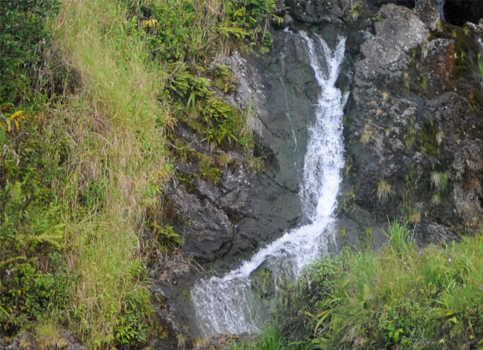 |
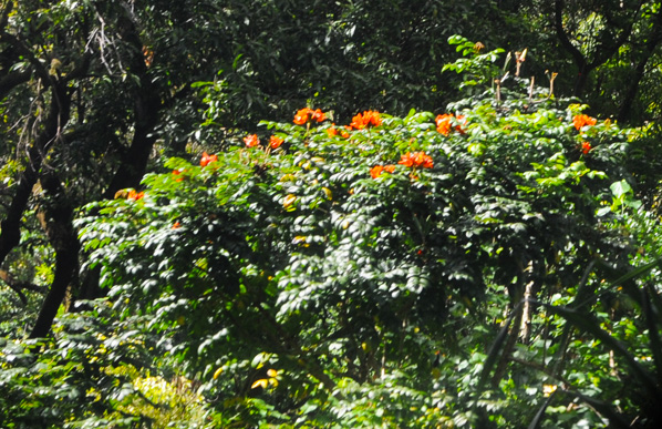
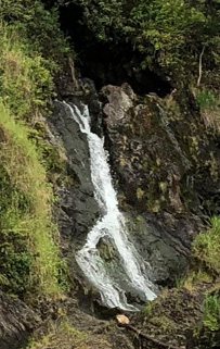
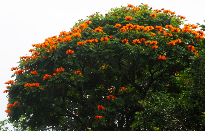 | The terrain was hard to photograph because is was mostly the deep green of a tropical rainforest. But occasionally we were treated to one of the spectacular flowering trees like this one. |
We spent several miles locked into a tight convoy of cars continually turning right, then left, etc. 620 turns in 52 miles? By the time we got to Paia we believed it. | 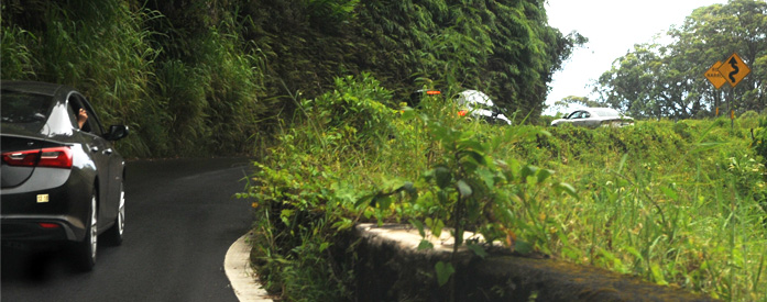 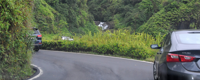 |
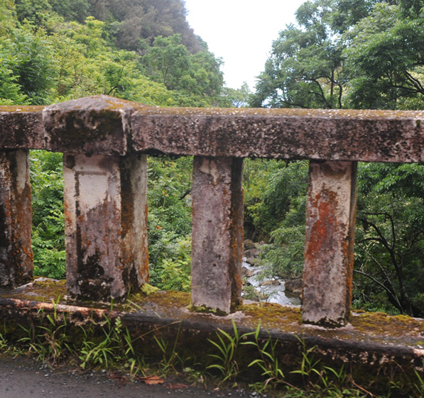 | Certainly not a thing of beauty, this bridge rail. But it shows how bridge rails could be made by casting concrete with steel reinforcement in 1910. Casting a bridge like the one shown above looks like a lot of labor! But it has held up for over a hundred years! |
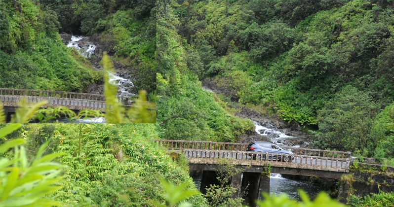
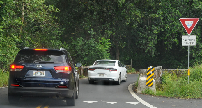
A chain of six cars moves across a one-lane bridge on which they must yield the right of way. That kept you cautious and held down the speed with which you could approach a bridge. | 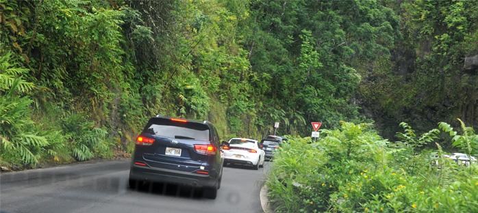 |
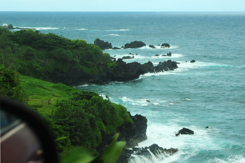
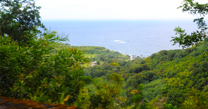 | This is a coastal highway, but this is the first time we have seen the sea in 50 minutes of driving! The road is up on the shoulder of the mountains immersed in tropical vegetation. |
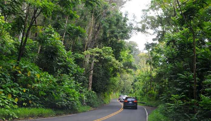
Now we are back up on the mountain, a well-behaved convoy of six vehicles, zipping along as fast as they dared. | 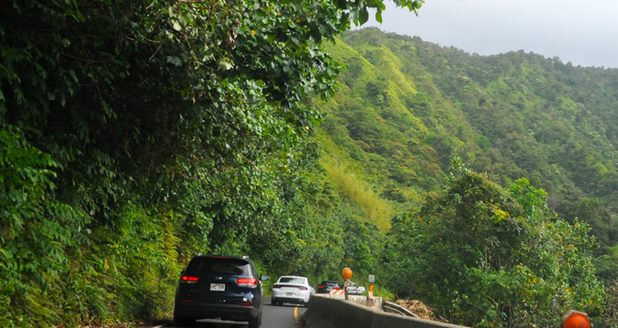 |
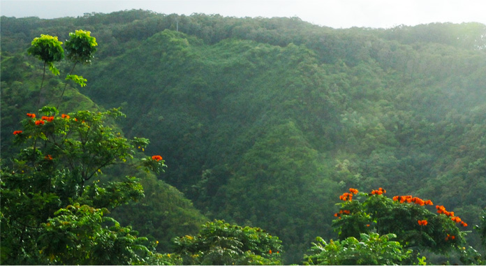 | The lush green of the rainforest was pleasant, but it these brilliant orange flowers give us a little break from green. |
This short bridge has solid side rails. | 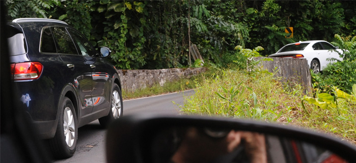 |
 | At times, a very tall forest. |
Immersed in the lush green |  |
 | The convoy enters warily when they have a yield sign because the sight distance is very short. |
A nice example of a 1910 bridge for which the rails had to be cast in three sections. It looks like they then had to build on a form to pour a coupling post. | 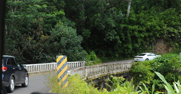 |
We reached this bridge at about 5:40pm. Past here the road opened up and we proceeded smoothly to Kahului in time for dinner on the ship.
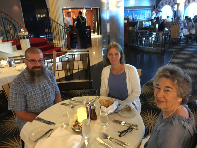 | We certainly enjoyed the evening meals at the Skyline Dining Room and got to have dinner with Jeff and Darla there several times. It was nice to relax there this evening after our very long day. |
Some references:
| To Paia and a time on the beach |
2018