Death Valley to Southern California
 |
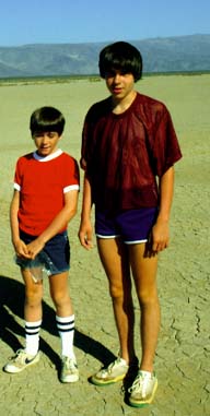 |
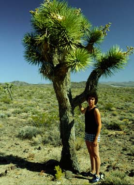
On Hwy 190 out of Death Valley and down the Hwy 395 southward we encountered many varieties of desert scenery. At left, Brenda stands by a Joshua tree alongside Hwy 190. There were other single Joshua trees dotted about the desert there, but further south along 395 we saw forests of the Joshua trees. Jeff and Mark stand on the bed of a dry lake where all you can see is dry, cracked earth. |
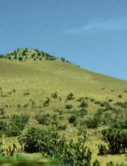 |
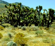 | At left is a portion of a hillside along 178 between 395 and Onyx where there were large clumps of Joshua trees. Near left is a stand of some kind of cactus which was growing among the Joshua trees. August 11, 1982. |
Brenda with Sierras Behind
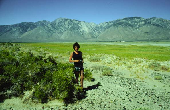
Coming out of Death Valley, we had joined Hwy 395 and headed south - I was surprised to still be in desert. The majestic Sierras were almost bare on the east side except for some trees at higher altitudes. This view is along Hwy 395.
Brenda drove southward and we turned west on Hwy 178 and started heading up into the south end of the Sierras. Again I was surprised that we were still in desert country. I had expected that we would quickly climb into forested area. The Sierras are a very efficient moisture trap and the mountain slopes to the east are very dry. We climbed though some dramatic Joshua Tree forests. August 11, 1982.
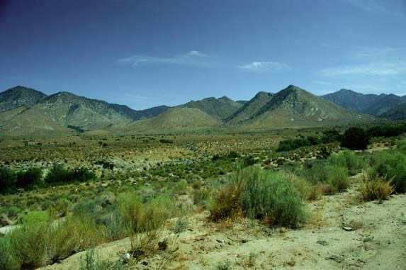
 | Southern California DesertOur route through southeastern California was through desert country like this shown off Hwy 178 west of Hwy 395 near Onyx, California. Where there was a river, you had the green irrigated areas like that shown in the inset where you have trees, green grass and horses. |
Coming out of Death Valley, we had joined Hwy 395 and headed south - I was surprised to still be in desert. The majestic Sierras were almost bare on the east side except for some trees at higher altitudes.
Brenda drove southward and we turned west on Hwy 178 and started heading up into the south end of the Sierras. Again I was surprised that we were still in desert country. I had expected that we would quickly climb into forested area. The Sierras are a very efficient moisture trap and the mountain slopes to the east are very dry. We climbed though some dramatic Joshua Tree forests. August 11, 1982.
Lake Isabella, Southern California

As we traveled west on California Hwy 178, we passed Lake Isabella. This view is from the north side of the lake. Lots of water in the lake, but the hills above it look like desert. August 11, 1982.
Jeff and Mark in Alte Sierra Area
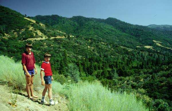
Jeff and Mark by roadside on 155 as we descended from Alte Sierra. We finally got to see some of the green Sierra forest. This picture shows some of the road cut, but does not give an impression of the incredible steepness of this road.
After skirting to the south of the high Sierras from Death Valley, we decided to head for the valley on Route 155 and go around. When we retraced to Wofford Heights and started up the road toward Alte Sierra, we encountered a sign whch warned "Winding Roads and Steep Grades Next 30 Miles". The sign was not kidding!! The old VW Van was soon in first gear and straining. For probably 6-8 miles we climbed a steep winding grade which probably reached 20% grade in places. There were some switchbacks the VW barely made in first gear.
Despite the anxiety about the vehicle, we had to admire the scenery - our first taste of the high Sierra. The winding rad was dotted with little vacation houses set deep in the evergreen forest. We saw our first sequoia trees, though small, young ones - probably only a few hundred years old. When we finally reached the summit at Alta Sierra there were obviously long-established camps, some church related and some private. A big deer crossed the road in the deep forest.
Going down also held some anxiety because the grades were just as steep. I stayed in 2nd gear, tapping the brakes to keep from over-revving the engine.
Looking back at turnouts we got a beautiful view of the evergreen Sierra forest on the mountain.. August 11, 1982.
California's Grassy Hill Country
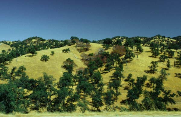
This is a typical view of the golden grassy hills of California which form a north-south belt just west of the high Sierras. This view is along I-55 as we headed north from the Fresno area.
We had finally mastered the steep Alte Sierra road. Looking back at turnouts we got a beautiful view of the evergreen Sierra forest on the mountain. Soon it was evergreens dotting grassy hills. Then it was hardwoods dotting golden grassy hills. Then it was just golden, grassy hills with firebreaks plowed around them to counter the obvioulsly great fire hazards. The resort community had given way to farms and a rural feeling, but still the road rocked and twisted and humped over the natural terrain with no grade development and not a 50 yard straight stretch anywhere. It was very beautiful, what we have heard called one of California's "old roads" - but it took us over 2 hours to travel 30 miles. Time wise, it would have made better sense to take Hwys 395,14,58 and 65, even though much longer. But I was grateful for the exposure - the van should make it over anything we encounter - but it will be wise to stick to California's "new roads" from now on.
Jumping off 155 onto 65 North, we found it to be a well engineered, straight, fast road through Porterville. The very hot weather there was suited to the growing of oranges, grapes, etc. and we passed through miles of groves. August 11, 1982.
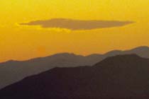
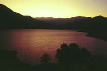
Taking 198 toward Sequoia National Park, we stoped abouty 5PM at a small KOA Campground at Lemoncove. For my money it was the best KOA experience even though limited in facilities - or maybe because it lacked facilities. The bad experience of the big KOA city in Flagstaff lingered in my mind. This KOA was grasssy, rural, with a good view of the grass covered hills building to the Sierras. We had a lovely sunset and a clear, starlit night. The boys swam for a couple of hours in the pool and we relaxed a bit.
This was a good day. We made the leap across Death Valley, which the boys seemed to enjoy grreatly, and passed through many changes and varied, beautiful scenery. In the vastness of the west, we have not found any dull drives.
Thank you Lord for a beautiful day!
 |
|
 |
|
 |
Trip Day 11