Mt. St. Helens in Quieter Times
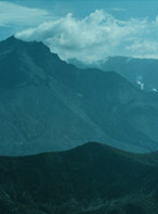
We left the tranquil slopes of Mt. Ranier and drove south to a very different kind of world. The photo inset above is Mt. Ranier as we drove away from it. Mt. St. Helens was similar until that fateful day in 1980. We drove to Randle and turned south to Mt. St. Helens. The gray area around Mt. St. Helens is roughly the area of devastation of the forest.
|
 |
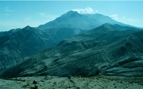
This was our first view of Mt. St. Helens from the road, about 10 miles from the mountain. The position is shown by the arrows on the map above right. The forest had been blown down all the way to this point, a scene of unbelievable devastation.
|
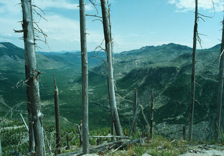
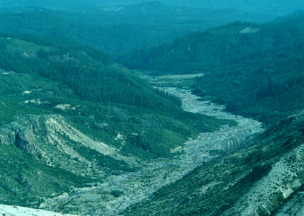
Looking in the other direction at the point near Bear Meadow shown on the map, we saw a valley in which there had been almost total tree loss. Some trees up on the peaks survived, but the green in the valley is new growth since the eruption. |
|
|
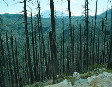
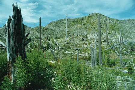
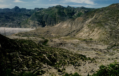
On May 18, 1980, this entire forest was blown down by an eruption almost ten miles away. Some fireweed and other plants are slowly beginning to grow here. |
|
|
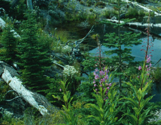
Fireweed and small conifers represent 13 years of growth since the eruption in 1980. This was on the edge of Meta Lake. The arrows on the map above show the viewpoints for the following two pictures. Meta Lake is a tiny pond some eight miles from the crater. A family and the relatives they were visiting at Meta Lake perished in the blast. Their burned car is kept there as a monument. The entire bottom of Meta Lake was covered solid with black tadpoles. Anything that eats the emergent frogs should certainly have an abundant food supply this year.
|
When we finally got a direct view of Mt. St. Helens from Windy Ridge, it was like a giant cone of ash with wisps of smoke or steam coming from a point on top. All this area had been heavily forested, but now looks like a desert. |
|
|
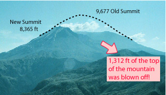
Over a thousand feet of the top of the mountain got distributed in ash on the surrounding area. Wanda told us of getting ash down in Beaverton, Oregon. |
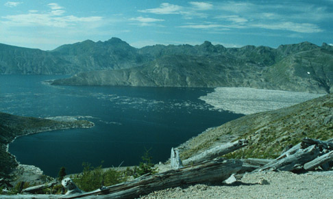
The image below shows the current state of Spirit Lake, a formerly beautiful blue lake surrounded by dense green forest. The huge raft of blown-down trees still occupies the north end of the lake.

|  Up in the caldera at the peak of Mt. St. Helens, you can see evidence of one large steam vent, and a couple of smaller ones lower down. |
|
Another view of the logjam and the desolation around Spirit Lake. |
|
|
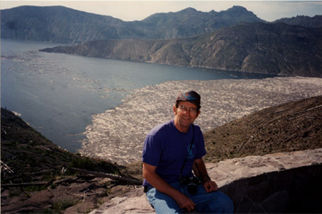
Rod overlooking the great raft of logs on Spirit Lake. We read that the blast pushed the water of the lake 400 feet up the mountainside and the trees were swept back with it. Evidence of the great surge of water out the north end of Spirit Lake can be seen in the photo below left. |
|
 |
|
In addition to the blast damage and that from the ash, the eruption melted a large snowfield and sent a flood raging down this stream all the way west to the Interstate highway. |
|
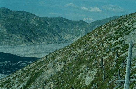
Another perspective of Spirit Lake shows the stumps of the trees on the side of the mountain above the lake. Those trees make up some of that jam of logs in the lake. You can see the tranquil peak of Mt. Ranier above the ridge. Quite a contrast to the views we were getting early this morning. |
|
|
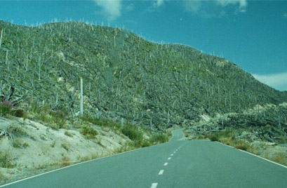
This mountainside view on our way out of the Mt. St. Helens area certainly has no beauty to it. It is included because it was to me reminiscent of the stories that Edgar told about the hills around the area of the Battle of the Bulge in World War II. He said that when they reached the area around Metz, the hillsides were bare except for the stumps of trees that had been blown down by the artillery barrages. |
|
This before-and-after view of Mt. St. Helens definitely says more than a thousand words worth. |

|
| To the Quartz Creek big trees |
1993