Earth Images

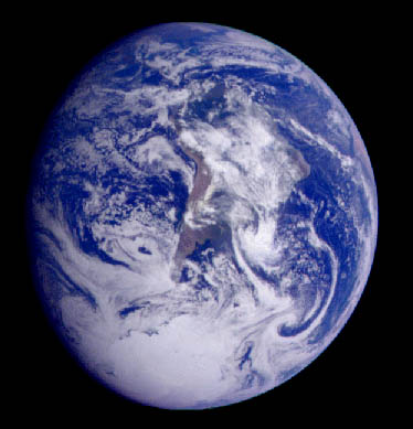
This image of the Earth was taken by the Galileo spacecraft during one of its gravity-assist maneuvers on its way to Jupiter. It shows the continent of South America. (NASA Image).
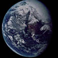
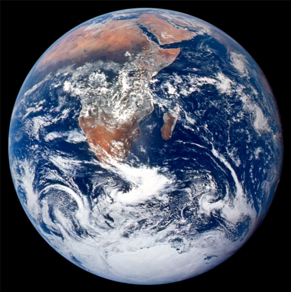
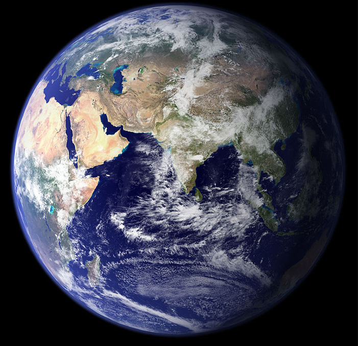
Earth over Africa.
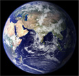
Eastern hemisphere image of Earth.
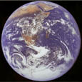
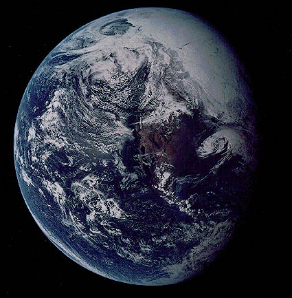
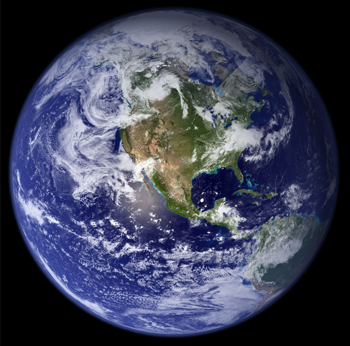
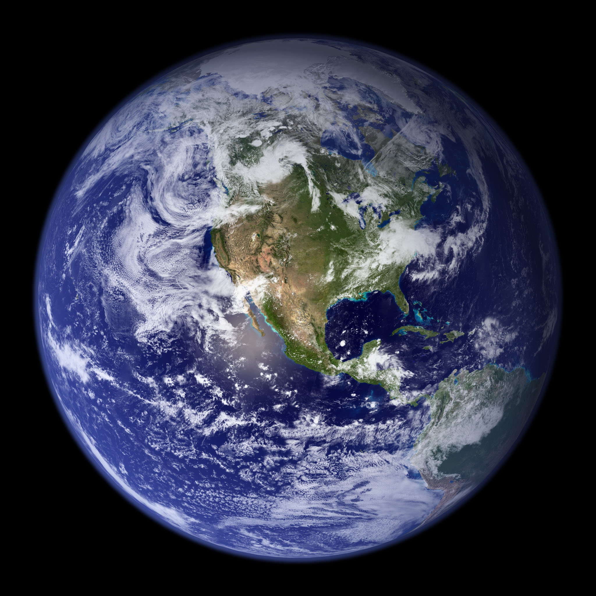
Earth with storm systems.Western hemisphere image of Earth.
A series of Earth images from space
Index

Solar System Illustration

Solar System Concepts
 
HyperPhysics********** Astrophysics R Nave
Go Back


Earth Over Africa

This image of the Earth is a classic one over the continent of Africa. This is the famous "Blue Marble" image taken on December 7, 1972 by the Apollo 17 astronauts. It was taken from a distance of about 18,000 miles as they were traveling to the Moon. (credit NASA Johnson Space center).

Earth images
Index

Solar System Illustration

Solar System Concepts
 
HyperPhysics********** Astrophysics R Nave
Go Back


Earth With Storm Systems

This image of the Earth shows two developing storm systems. The view is centered on the Baja Peninsula of California. (NASA Image).

Earth images
Index

Solar System Illustration

Solar System Concepts
 
HyperPhysics********** Astrophysics R Nave
Go Back


Eastern Hemisphere Image of Earth

This is a NASA composite image of the Earth showing the eastern hemisphere.

Earth images
Index

Solar System Illustration

Solar System Concepts
 
HyperPhysics********** Astrophysics R Nave
Go Back


Western Hemisphere Image of Earth

This is a NASA composite image of the Earth showing the western hemisphere.

Earth images
Index

Solar System Illustration

Solar System Concepts
 
HyperPhysics********** Astrophysics R Nave
Go Back