Zion Park to Page, Arizona
May 30, 2011

 | The character of the land changes very quickly as we travel eastward from Zion. The hills lowered and the desert vegetation increased. |
We were back to sagebrush and lower desert plants. |  |
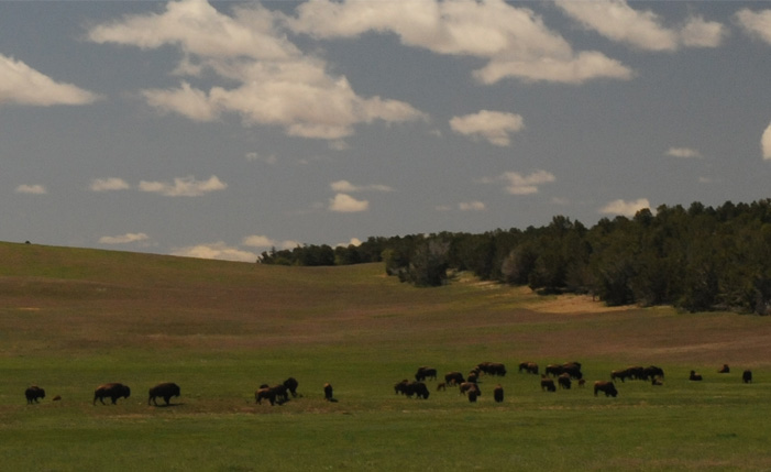 | Desert gave way to pastureland and we passed this sizable herd of buffalo. |
Another region of canyons stretching all the way to the horizon. |  |
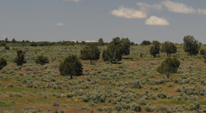 | Another region of sagebrush and scrub pine. |
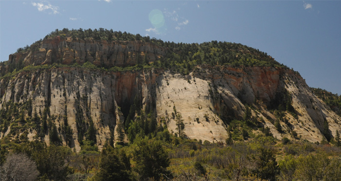
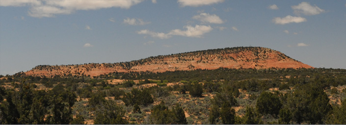
This was the view approaching Mt. Carmel Junction. | 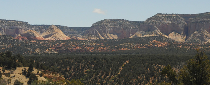 |
 | Red hill on the road toward Kanab. |
Interesting structure built into a cave.  | 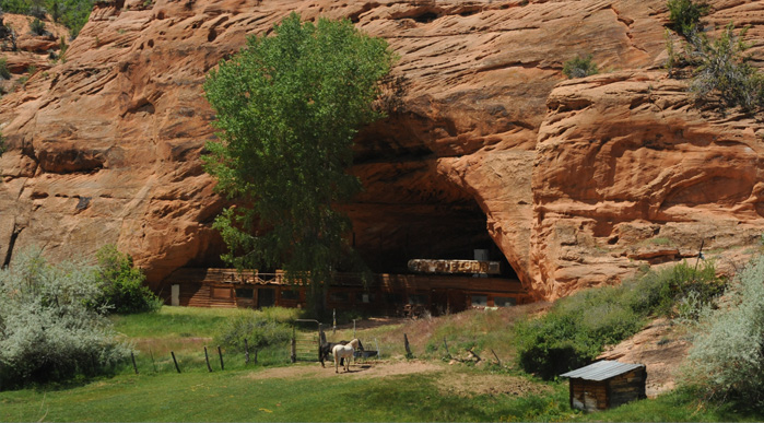 |
 | Sagebrush with red cliff background. |
An oasis around a small lake. | 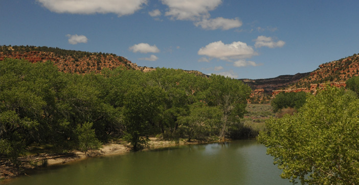 |
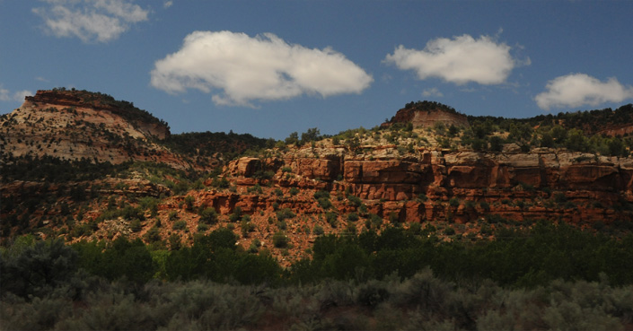
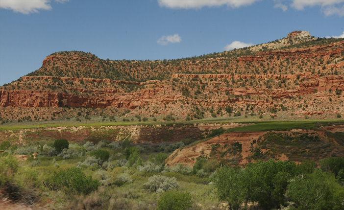 | Another contrasting view of green foliage and red rock as we approached Kanab. 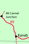 |
Probably none of these scenes will show up in the travel brochures, but I found this 30 minute run from the east entrance of Zion to Kanab to be an exhilirating variety of terrain. We reached Kanab about noon and stopped for gas and a snack before heading on eastward on Hwy 89.
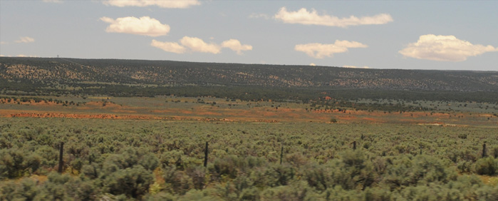 | From long straight stretches of road to the east of Kanab we got wide open views to the south, with only a barbed wire fence as a manmade structure all the way to the horizon. |
To the north beyond the sagebrush there rose red cliffs. The area on the map is labeled "Vermillion Cliffs". | 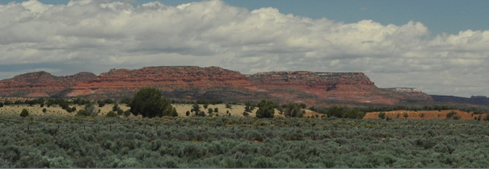 |
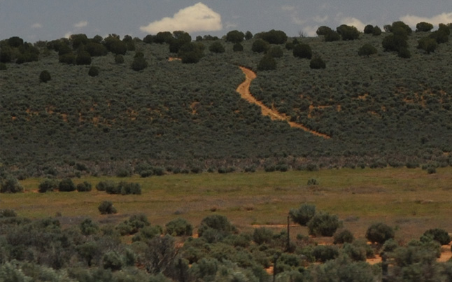 | Highway 89 was essentially the only road across this wild region, so it was notable to see a small dirt road snaking off over the hills to the south. |
On through the wide open country. You could see long stretches of the road ahead of us, and with the desert sun you got interesting mirages at the road surface. | 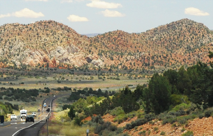 |
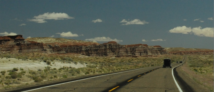 | The terrain was continually changing, now giving formations more like Painted Desert. It was neat to look across such distances in the clear air. This view is just 10 minutes past the one above. |
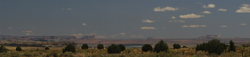
As we emerged from these Painted Desert type formations, we started getting long views like the above photo to the area around Lake Powell, with high mesas behind it. This was near the small town of Big Water. | 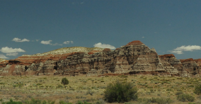 |
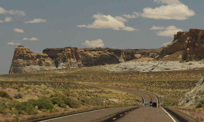 | We are still rolling along through the wide-open roads through the rock formations. |
We are now getting views of Lake Powell in the distance. | 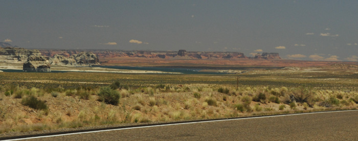 |
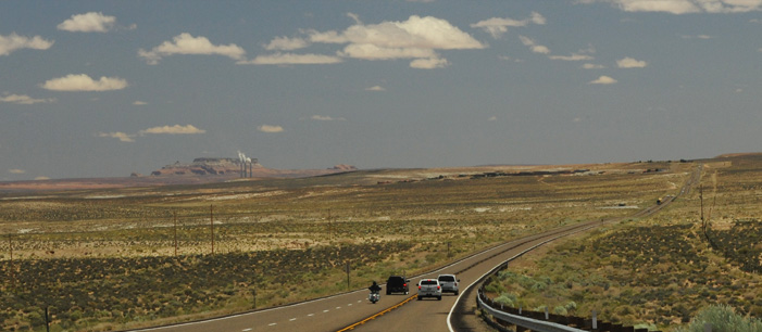 | Rolling along the long roads toward Glen Canyon Dam and its power plant, we were surprised to see the three towers of a conventional-fuel power plant in the same area. |
This power plant so close to Page was surprising enough that I asked about it on our Glen Canyon Dam tour. | 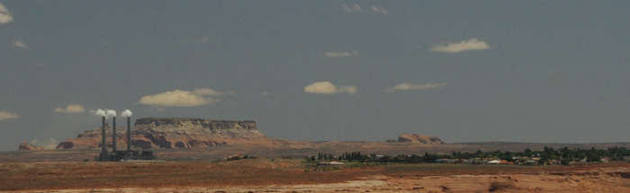 |
It turns out to have a larger generation capacity than the hydroelectric power plant in Glen Canyon. It is the Navajo Generating Station which is powered by low sulfur coal from the Kayenta Mine located 78 miles SE of the plant. It's capacity is 2250 megawatts from the three generating units. Construction began in 1969 with first power generation in 1974. The station serves customers in Arizona, Nevada and California. | 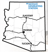 |
| Glen Canyon Dam |
2011