Jasper National Park
July 24 , 2008
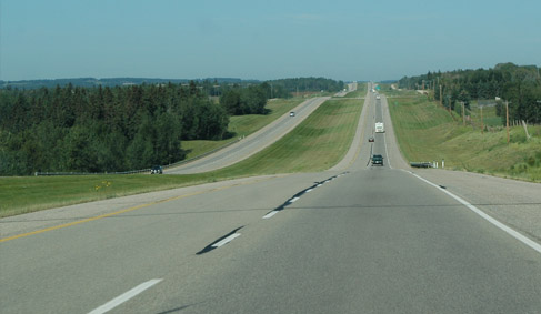 |
Leaving Edmonton, we drove westward on Hwy 16 toward Jasper, a distance of about 360 km (225 mi). It was a pleasant drive through farming country and cattle grazing.  | |
At about two thirds of the way we started seeing the peaks of the mountains to the south of us. Then the road took a bend southward near Hinton and we started seeing the mountains more dramatically.
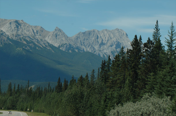 |
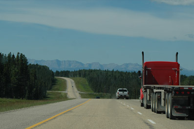
Soon we were driving through the wonderful forests and mountains of the Jasper National Park. There was quite a bit of sticker-shock as we went through the national park gate since the entrance fees are greatly higher than the US National Parks. The daily rate was so steep that it was cheaper for us to buy an annual pass for the number of days we were going to be in the park. Actually, we didn't mind all that much to contribute to the upkeep of such a beautiful and unspoiled place. | |
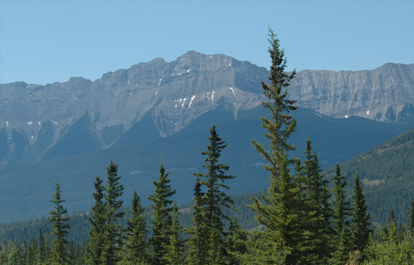 |
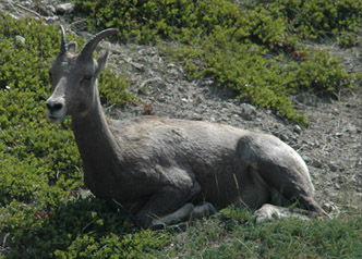
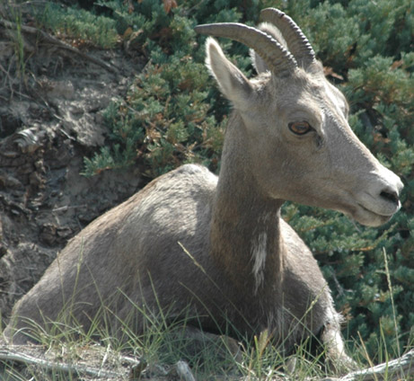
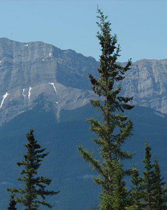
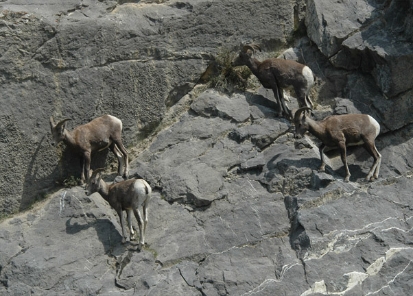
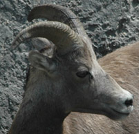
It was exciting to see the bighorn sheep, and we were pleased to be able to see them so well. But now I was being completely mesmerized by the incredible beauty of just the green trees and their setting in these mountains. The air was crystal clear and the green forest skirts making their way up the slopes of these mountains was just enchanting. | |
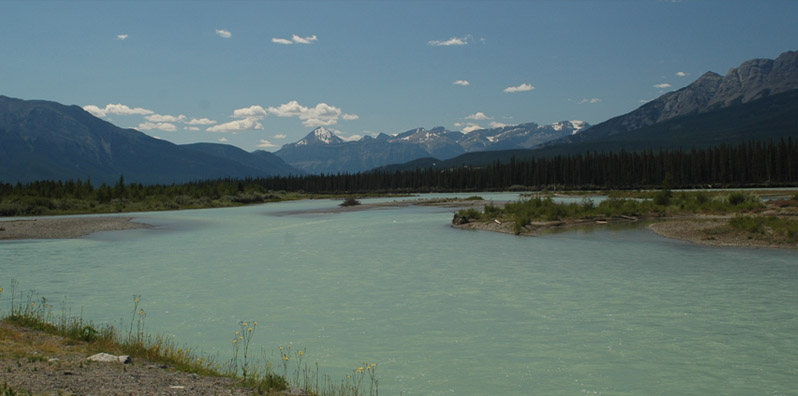
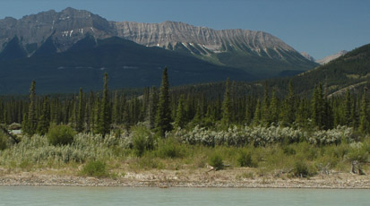
The road ran alongside the wide Athabasca River, which showed the light aqua blue color from suspended glacial silt. There were many wonderful views of the river, forest and mountains along this highway. The sight of the wide shallow river with all the little islands and bars was very pleasing to us, kindling remembrances of all the glacial rivers in Alaska. Also the stretches of forest which were short, very narrow conifers reminded us of the taiga forests in Alaska, a testament to the severity of the winters.
|
 | |
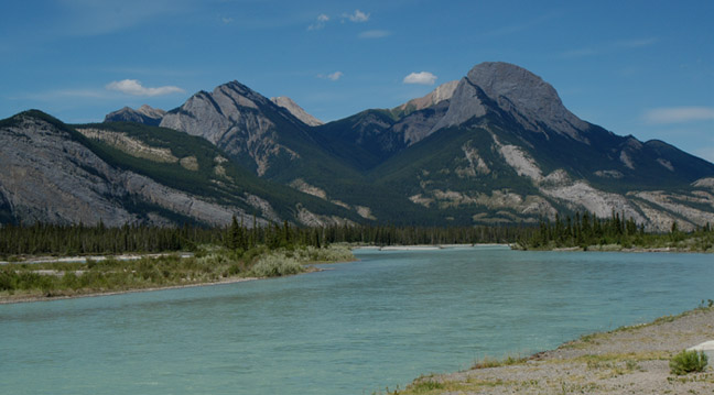 |
This is a view back in the direction from which we had come, or roughly northward. We had to get used to the fact that the Athabasca River flows northward here. We were now immersed in the Canadian Rockies and loving every minute of it. | |

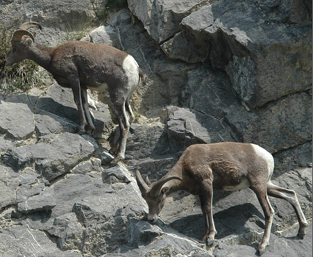 |
We came upon these four bighorn rams up on the rocks close to the road. There didn't appear to be much to eat up there, but these bighorns seemed perfectly comfortable up on the rock wall. 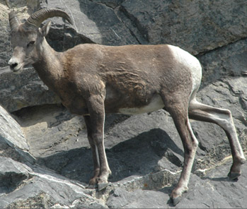 | |
Campers by a lakeside is a common view along here, but the little pink color in the burned out area across the lake caught my eye and we stopped to investigate. 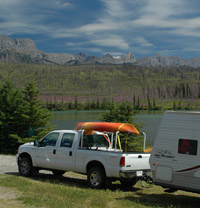 |
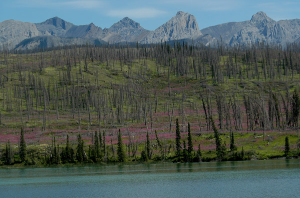 | |
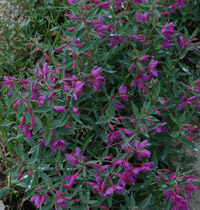
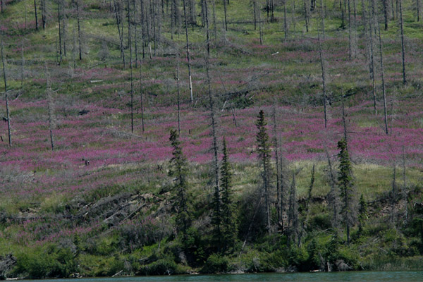 | I had read many times that the fireweed was one of the first plants to thrive after a forest fire, hence the name given to it. But I had never seen such a dramatic example of this phenomenon. The close views are from Mt. Edith Cavell later.
 | |
It was neat to see the green trees right at the water, which had perhaps escaped the fire, and then the fireweed behind them filling in the area of the forest that had been consumed by the fire. 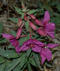 |
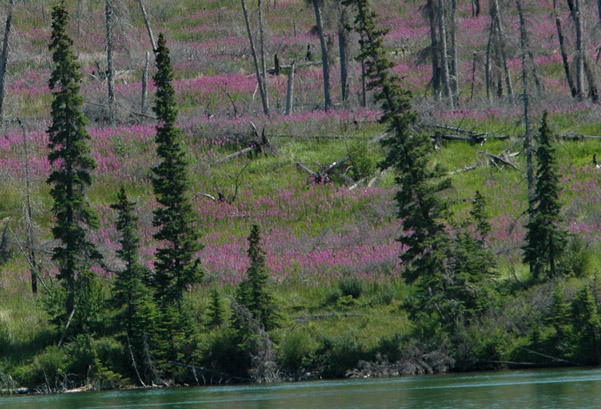 | |
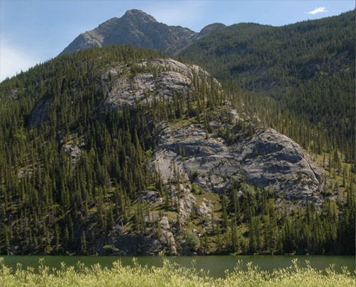 | This area almost glowed with life and served as a testament to its tenacity. The trees pointed skyward at any point on this rock ridge that they could gain any kind of footholt.
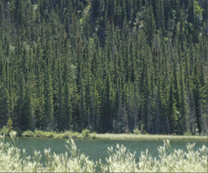 | |
In places the Athabasca River widened out into a lake. |
 | |
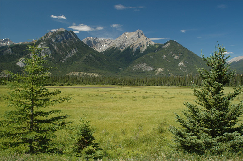
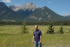
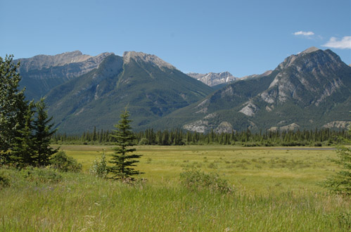 | This was another place that just absolutely captivated us. Who could believe that a marshland could be so beautiful. Partly it touched us because it reminded us of Tuolumne Meadows. We commented that we just needed Mark here to run across it because one of our alltime favorite photos is of Mark running across Tuolumne Meadows.
 | |
|
Index
2008 |


