Along the Athabasca River in Jasper National Park
July 24 , 2008
As we had approached the Jasper National Park entrance, we started seeing rivers with mountain backgrounds, and the last 30 miles or so to Jasper was some of the most beautiful mountain scenery we have ever seen. It was hard to get Rod through it ... every turn brought a beautiful new vista. We had the treat of seeing three groups of bighorn sheep right beside the road, causing major sheep jams. One group got out in the road and completely stopped traffic.
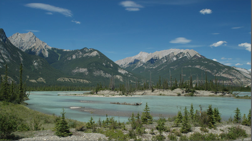
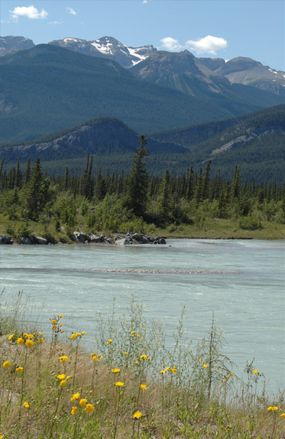
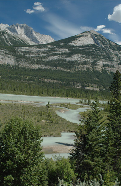
I was trying to move on through this fantastic valley, but this area where the Athabasca River divides into twin glacial rivers and flowed under twin bridges just captivated me again. I stopped and walked back across the bridges to shoot this shot of the milky blue glacial streams with their mountain background.
In places the Athabasca River broadened out to a great expanse of milky blue water, whereas in others it left islands and gravel bars and had multiple strands.
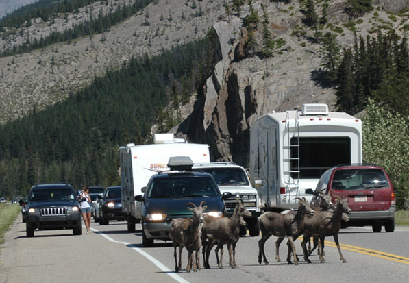 | Having walked back to photograph the divided river put me in position to see a major sheep jam as a herd of sheep just wandered out into the highway. 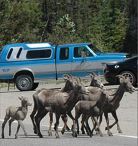 |
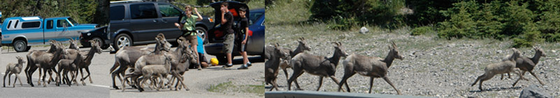
The sheep had completely stopped traffic and collected probably thirty vehicles with at least that many cameras, but they were used to this and didn't seem greatly concerned. They moved out of the middle of the highway and finally broke into a run, with the youngsters leading the way. Then these in front were out there on their own, away from whatever safety the herd provided, so these must have been the teenagers of the herd. Even by themselves, they were fairly safe in the National Park and maybe safer here near the roads because the mountain lions probably won't come near this much human activity. | 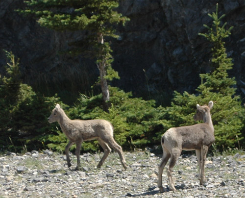 |
 |  |
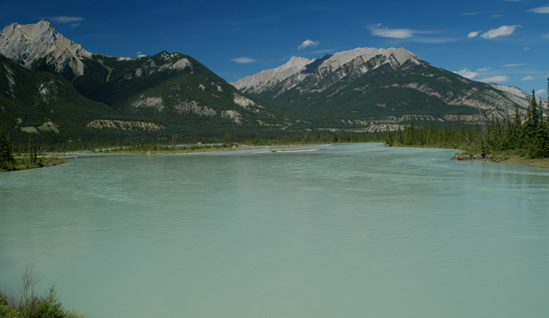
These two photos are on opposite sides of Highway 16 through the National Park. At left is a view when the river is on the western side of the highway, and at right after it switches to the eastern side and gives a view of the mountains to the east.
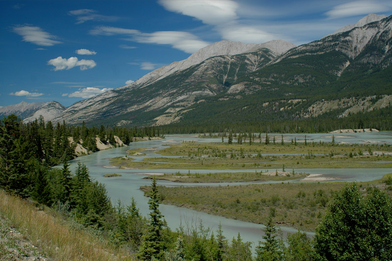
The Athabasca River offered view of endless variety and fascination as the various streams of the silt-laden river separated off and came back together. |
 |
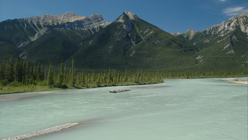
 | Here on the east side of Hwy 16 the Athabasca River spreads out over the entire valley in places. Of course you could argue that it had formed the valley and had a right to it. |
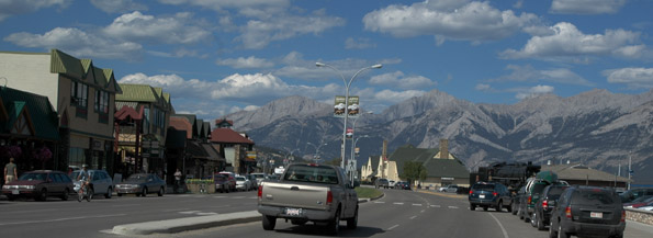
It took over an hour to travel the last 30 miles with Rod's photo stops, but we finally reached the attractive village of Jasper and found the Whistlers Inn were we had booked one night - it was the only place we could find for that night. It was right on the main street across from the train depot. |
|
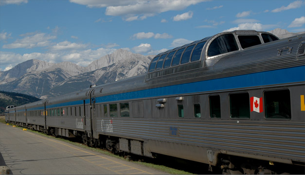 | Besides the beautiful setting nestled in the dramatic mountains, the view of all the train activity was a surprising treat. The elegant Canada Pacific tour train (called the Canadian) was at the station. We had heard a lot about this train from some people who had enjoyed the trip from Edmonton to Vancouver on it. |
| Rod walked the entire length of the train and posted himself at a crossing to watch it leave the station. | 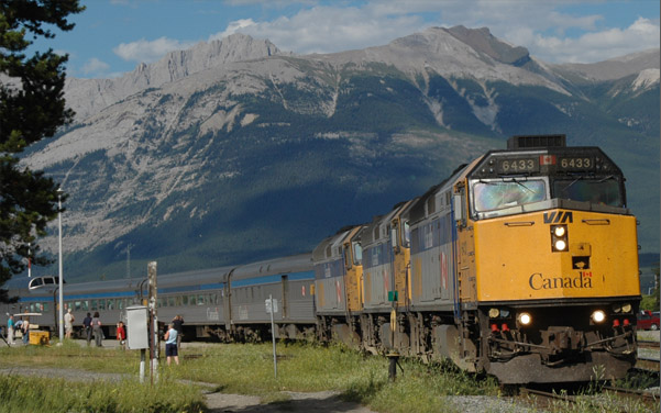 |
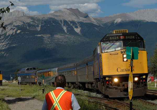 | Rod also watched a shorter train back into the station, and this turned out to be the train that we would ride when we did a rail tour to the Mt. Robson area. This train is called the Skeena. |
Jasper was established in 1907 as Canada's fifth national park and the country's largest protected area. It covers 10,878 sq km (6757 sq mi) and accounts for about half of the Canadian Rocky Mountain Parks World Heritage Site. The park's highlights include the Columbia Icefield, Maligne Lake, Maligne Canyon and Mt. Edith Cavell.
| To Whistlers Mountain |
2008