South Kaibab Trail to Cedar Ridge
May 25, 2011
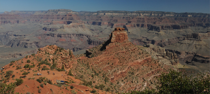
We had come from the Kaibab Trailhead to the halfway point to Cedar Ridge, about 3/4 of a mile down the trail. We stopped here for a while to take in the wide views of the Canyon. In the literature, this point at the ridge end is formally called "Ooh Aah Point".

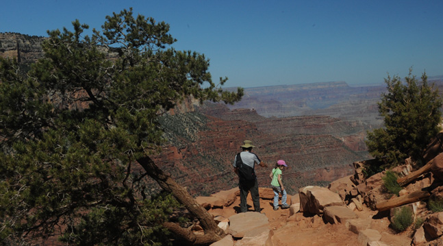
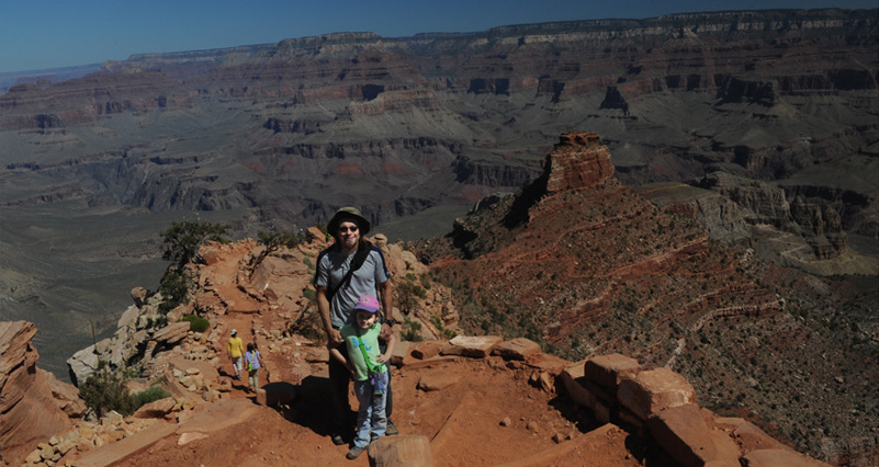
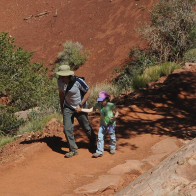
We reached the point of the trail at the end of the high ridge, one of the outstanding viewpoints on the trail. We could see a wide sweep of the Canyon. 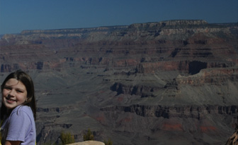 The deep shadow on Jeff's face is a testament to a good hat, but it surely gave me fits in dealing with the photos. These are some of the deepest, sharpest shadow I have ever seen. I needed to use fill flash. Certainly I am satisfied to stay on the back side of the camera, but got in this photo due to the help of two friendly guys from Singapore. One of the neat things about the Grand Canyon is that you hear a dozen languages. It is a truly international treasure. I returned the favor and took pictures of these two guys, who spoke very good English. We talked for a while and I shared my recent experience in using photos from a faculty member at the medical school in Singapore. |  |
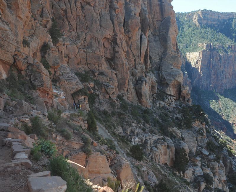
Now I was behind again from my conversation with the guys from Singapore. This section of the trail was at the base of a high wall, but we had just come down a trail that was on top of that high wall and at the base of yet another high wall. So we were going down fast. Jeff and the girls can be seen in the distance.
 |  |
Jeff and the girls were waiting down the trail at the next big bend which would take us further downward into the Canyon. Jordan and Elyse enjoyed climbing onto a ledge in the rock. There were certainly plenty of rocks to climb on.
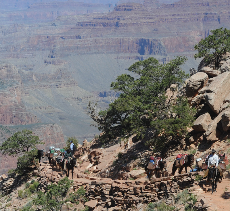
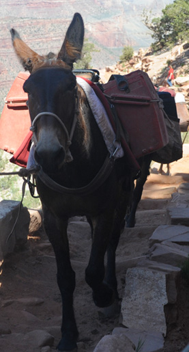
Ashleigh and Jordan were headed on down the trail but had to yield to another mule column on their way up. 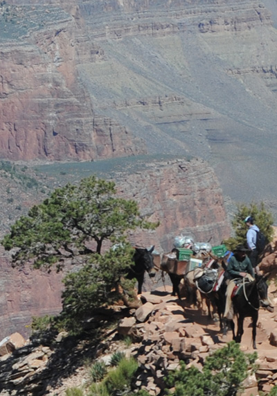 |  |
 |  |
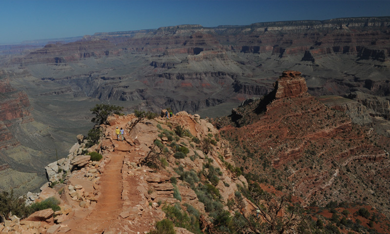
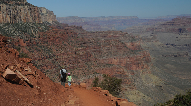
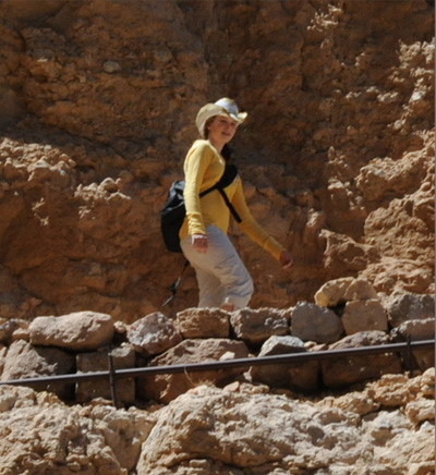
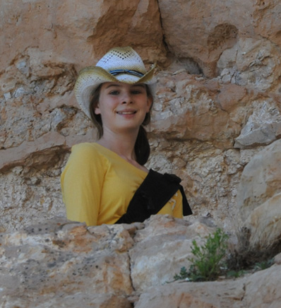
 | We were now moving out onto Cedar Ridge and were getting more open views in all directions. All three girls were great hikers, but I could certainly understand a bit of nervousness on Jeff's part to make sure the youngest was safe. Below, Jeff and Elyse are on the narrow ridge, and you can see the trail extending downward to their left. |
We are now lower down and can see more of the features of the bottom of the Canyon. The sand on these great trails is very red.
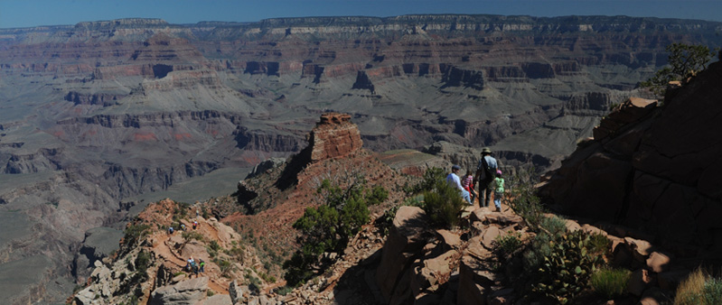
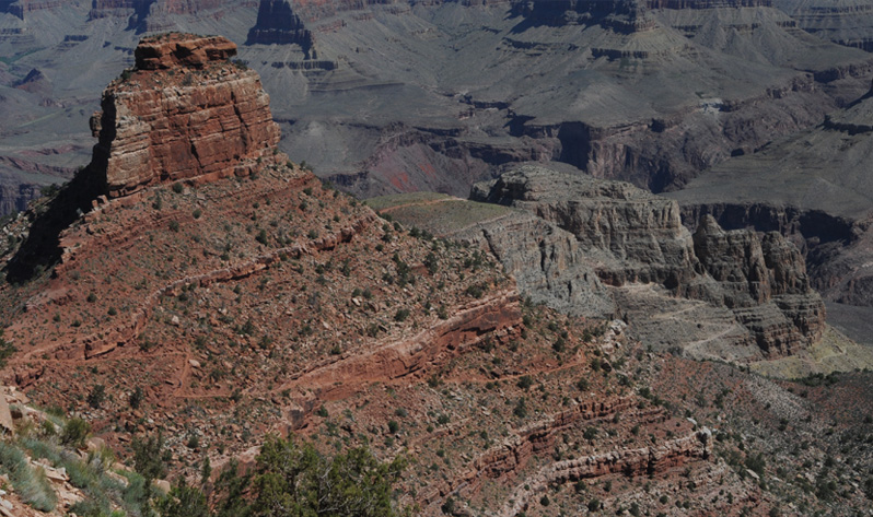
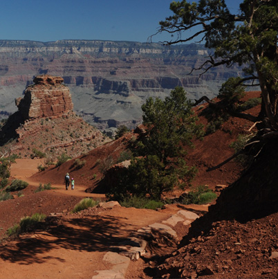
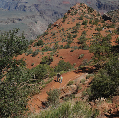
In the wide view above, we can see our trail almost to our destination on Cedar Ridge. In fact, we can see beyond it to the switchback trail you can see going downward at the right of the photo, and the trail that then extends around the bottom of that formation. |  |
Jeff and Elyse at a switchback on a point where we can see clearly the big red formation we could see from the Canyon rim. Ashleigh and Jordan have gone ahead and can be seen below on the trail. Our destination lies on that trail you can see snaking around the red formation.
Ashleigh and Jordan hiking on the narrow ridge. Our destination at Cedar Ridge is just over that hump and before you get to the trail you see angling down the side of the red formation.
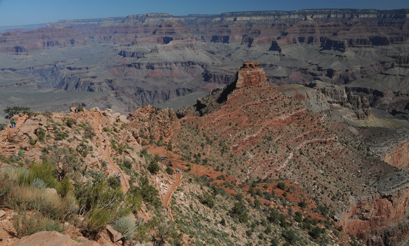
From just above our destination at Cedar Ridge, a look at those intriguing trails that lie beyond it. They continue on to Skeleton Point, another 1.5 miles to a point 2040 feet below the rim in altitude. From there the trail continues on down to the Colorado River.
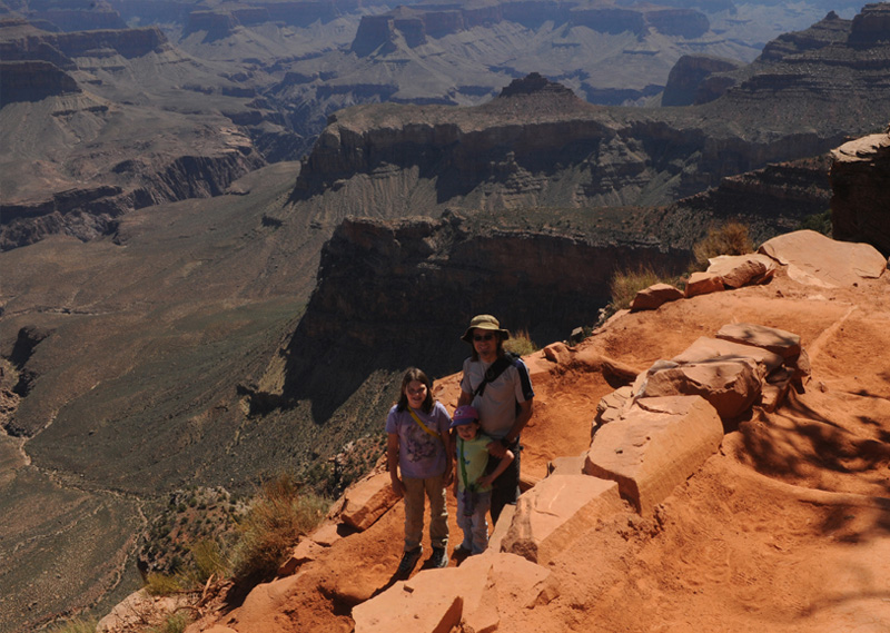
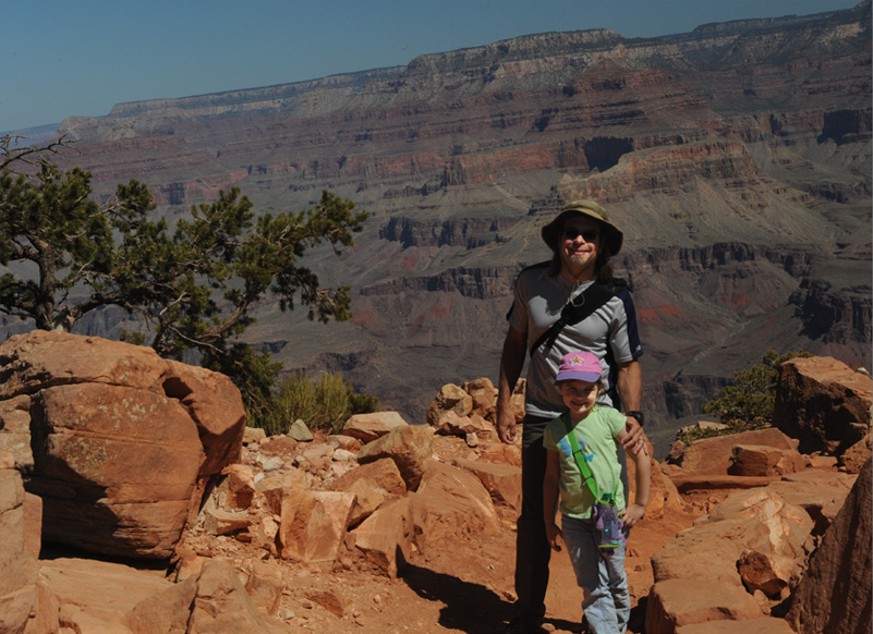
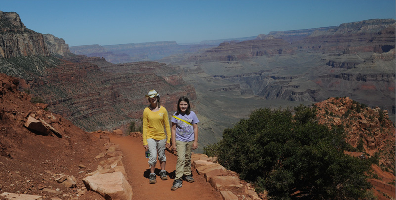
Jeff and Elyse with another wide open view of the Grand Canyon from near Cedar Ridge.
 | We top the last ridge and finally get a view of the Cedar Ridge rest stop. We have come 1.5 miles and descended 1140 feet. |
 |  |
Jeff and Elyse continue along the red sand trail and finally descend into the Cedar Ridge area, our destination.
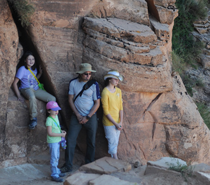
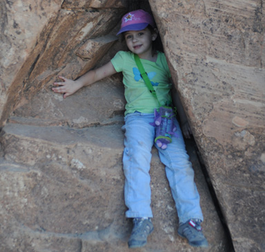
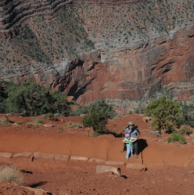
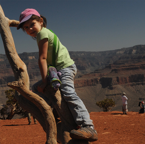 | Elyse still has enough energy to climb around on the cedar logs around the rest area. A squirrel comes out to greet us, but he doesn't look too hopeful. The threat of $100 fine has discouraged most people from feeding them like our boys did on the 1982 trip. 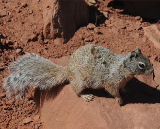 |
With a little rest and some water, we are now headed back up the trail. Jordan and Ashleigh are at the first switchback, with a view of the Cedar Ridge rest area in the background. | 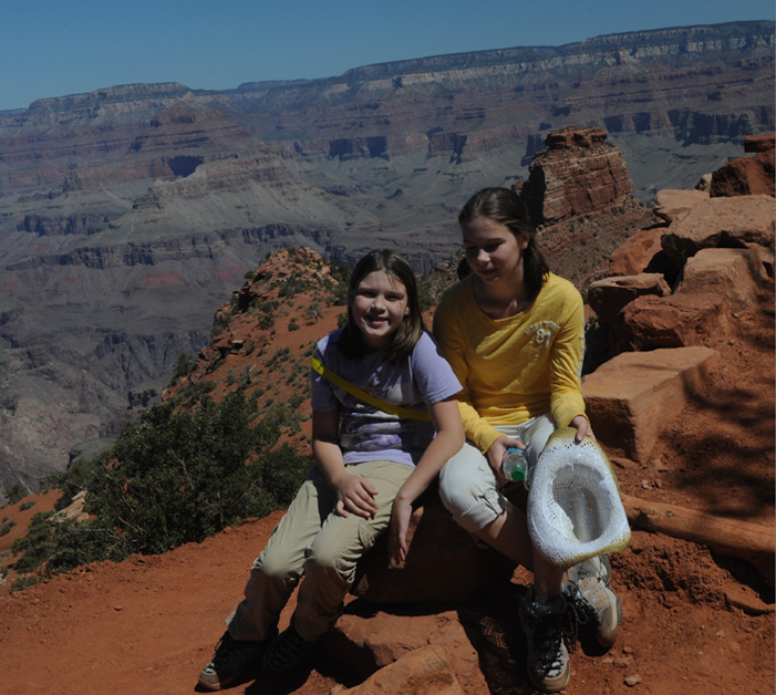 |
 |  |
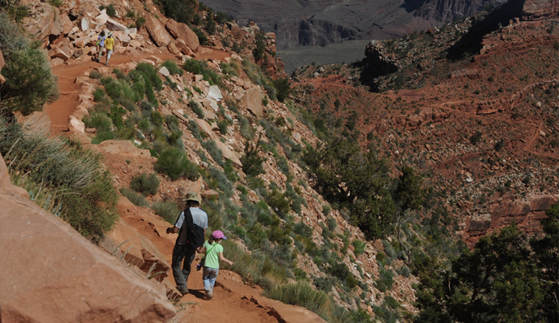
Jeff and Elyse are on the trail out of Cedar Ridge so we are launched back up the trail.
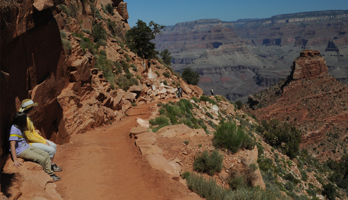 | On the way back up, we were much more inclined to stop and wait. Jeff and Elyse are coming in the distance. 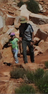 |
We were also much more inclined to stop and look at things, like a big cactus with new growth, a small cactus with a bright red bloom, and a speckled lizard. The lizard is definitely not like the green-speckled gully-runner, but it is speckled, so it might be a cousin. 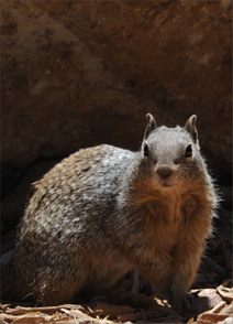 Another hopeful squirrel showed up, but it looks like squirrels have fallen on hard times. No one is feeding them. | 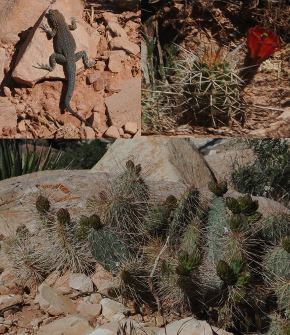 |
So we bid farewell to the Cedar Ridge area and sort of take our time going back up toward the Grand Canyon rim.
 | When we got back to the area of the switchbacks up to the rim, we realized why it seemed that we were coming down so fast when we started the hike. |
 |  |
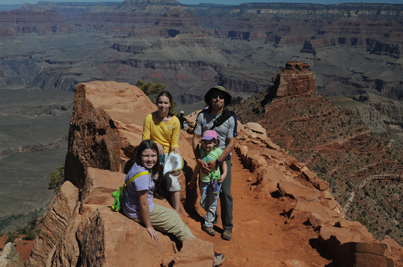
Ashleigh heads up the switchbacks. We all finally made it up and rejoined Brenda and Darla. We made it back to the rim about 11:15 am, so the three-mile round-trip hike had taken us a little over two hours.
| More South Rim exploration |
2011