Mammoth Lakes
August 6-7, 2012
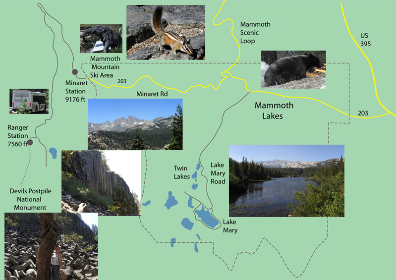
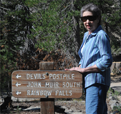
This was our area of exploration, and we had never seen any of it before. We were very tired from yesterdays trip and went to bed early. When we awoke, we found a bear wandering across behind the motel. Anxious to explore, we were up early and hunting for a place for breakfast. We had to wait a few minutes for one to open at 6:30, but then enjoyed a great breakfast. After visiting the Ranger Station for guidance, we drove down Lake Mary Road to the cluster of lakes southwest of the town of Mammoth Lakes. We made a loop around Lake Mary and then backtracked to take the Minaret Road out to Mammoth Mountain Ski Area. There we took a shuttle to Devil's Postpile National Monument, then drove back along Minaret Road to take the Mammoth Scenic Loop road back north to intersect US 395. From the town of Mammoth Lakes, we followed Main Street which continued as Lake Mary Road and took us down toward the group of lakes. |
 |
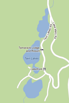 |  We drove down to the first of the lakes in the Twin Lakes Basin. We read that these were a set of lakes scoured out by glaciers. |
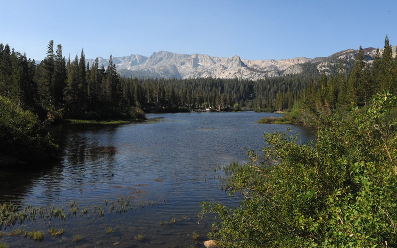
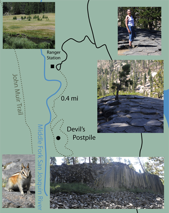
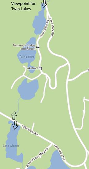 | The map at left indicates our viewpoint for the pictures above at the top end of the Twin Lakes. The Ranger had advised that we stay on Lake Mary Road around the curve for a nice viewpoint of the lakes. The other two arrows indicate our viewpoints when we did so. 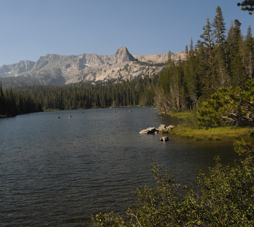
|
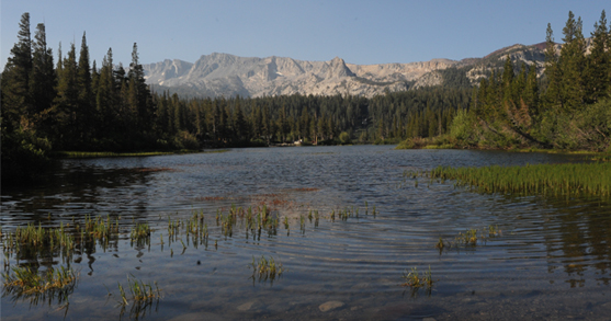
The view of Lake Mamie above is along the same sight line to the mountains as the view of the top member of the Twin Lakes above it. There were lots of folks out on the lake in rubber-raft type boats.
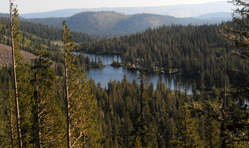
A look back in the other direction gave us a view of the Twin Lakes area from the bottom end.
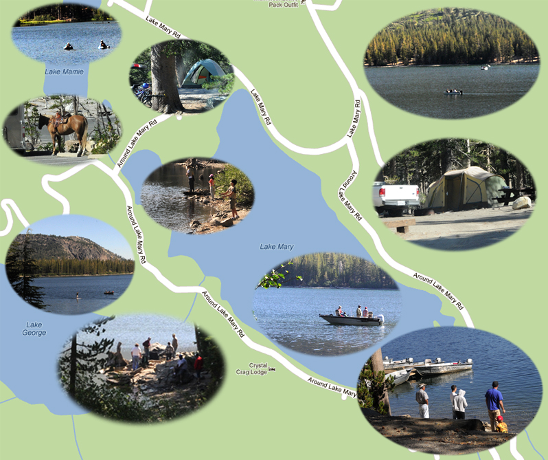
We backtracked from the viewpoint and took the "Around Lake Mary Road" - these folks tell it like it is. On that road around Lake Mary we saw lots of people fishing, camping, swimming - everyone looking like they were having a good time. If there was any camping in your blood, that was a place to get you fired up. It was tempting to stop and join them.
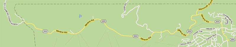
Returning to Main Street in Mammoth Lakes, we took Minaret Road out as far as the public road extended, taking us to the Mammoth tourist and skiing area.
 | This area is Mammoth Mountain ski resort. It is at nearly 8000 ft altitude and has ski areas up to 11,000 ft. 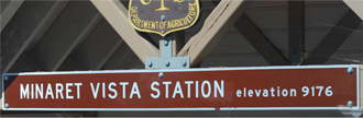 We parked at the large and modern tourist center an purchased our tickets for the shuttle to Devil's Postpile National Monument. Our shuttle bus took us out onto a winding mountain road that climbed until it reached the entrance to the Minaret area at 9176 feet. Our shuttle bus was pretty full, including about a dozen Scouts from a troop in California. |
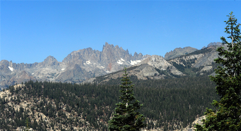
As the shuttle bus climbed on the twisting mountain road, we learned the meaning of the "Minaret" that we saw on the road and other things. This set of steep peaks on top of the mountain road is called "The Minarets". It appears to be a glacial arrete on top of the mountain ridge, similar to that we found on the approach to Snowdon in North Wales. We had also seen a similar glacial arrete in Waterton Park in 1995.
It was an interesting ride on the narrow mountain road through the forest. There were four stops at campgrounds on the way down to the valley. 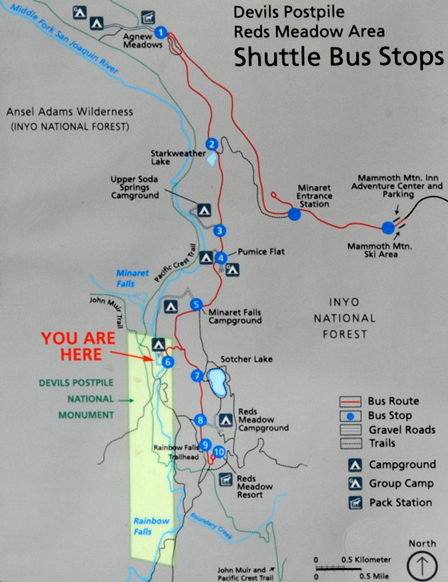 We and this group of Scouts were getting ready for the 0.4 mile hike to Devil's Postpile. | 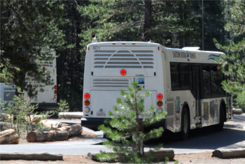 The shuttle bus dropped us at the Ranger Station for Devil's Postpile, having dropped over 1600ft in elevation since the Minaret entrance station on a narrow, winding road. 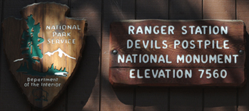 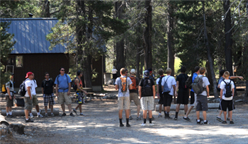 |
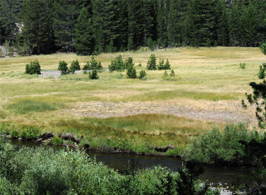 |
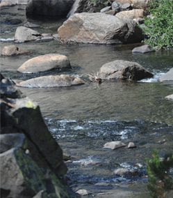
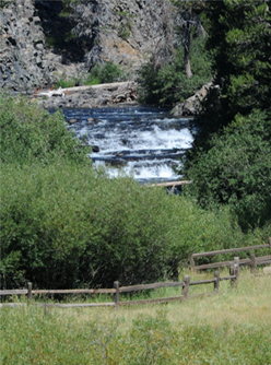
 We started out beside a nice meadow and stream. The stream is the Middle Fork San Joaquin River. |
  |
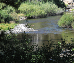
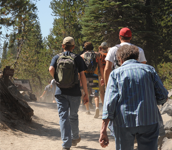 We had the nice stream beside us, but it got a bit dusty behind all those Scouts. |
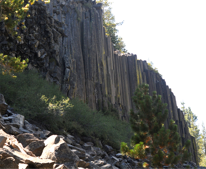 |
Devil's Postpile is a large formation consisting of hexagonal mineral columns about a foot across and maybe 50 feet tall. 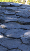 The hexagonal cross-section of the columns can be clearly seen from the top of the formation. |
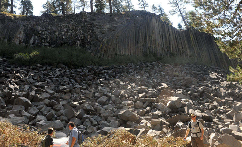
The collection is surprisingly large as you can judge from the scale of the men in front. Also surprising is the bending of those columns at the left.
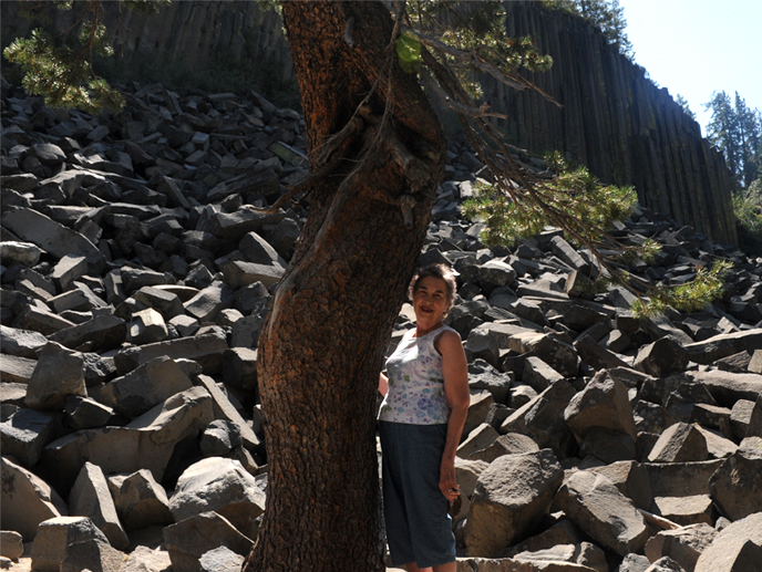 | Brenda by the jumble of broken hexagonal column pieces. It was like you had broken up a bunch of stone pencils. |
  |
 |
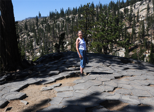 | We took the trail to the top of the formation and found a relatively smooth top showing the hexagonal pattern of the columns. Hexagonal things like bee's honeycombs and snowflakes are common enough, and attributed to energy efficiency in formation from molten lava, but the smooth top was surprising. It is attributed to glacial scouring of the top, and there are places where you can see straight-line grooves in the tops as if from the motion of the glacier across it. There were lots of downed trees on the otherwise nice trails, and they told us of a major storm from the north last November that downed tens of thousands of trees in the area. |
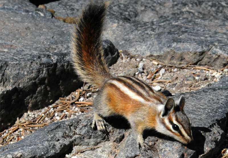
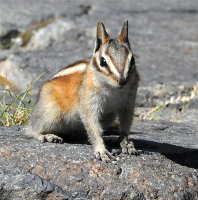
 | I thoroughly enjoyed these neat three-striped chipmunks which were playing around on top of the stone columns of Devil's Post Pile. |
 |  |
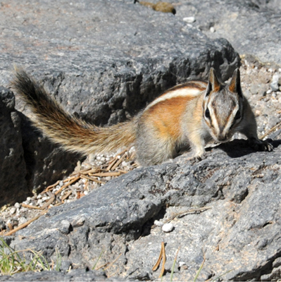 | 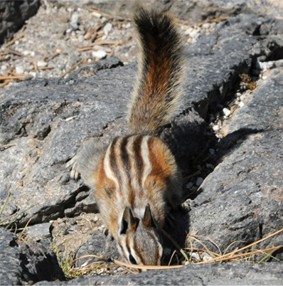 |
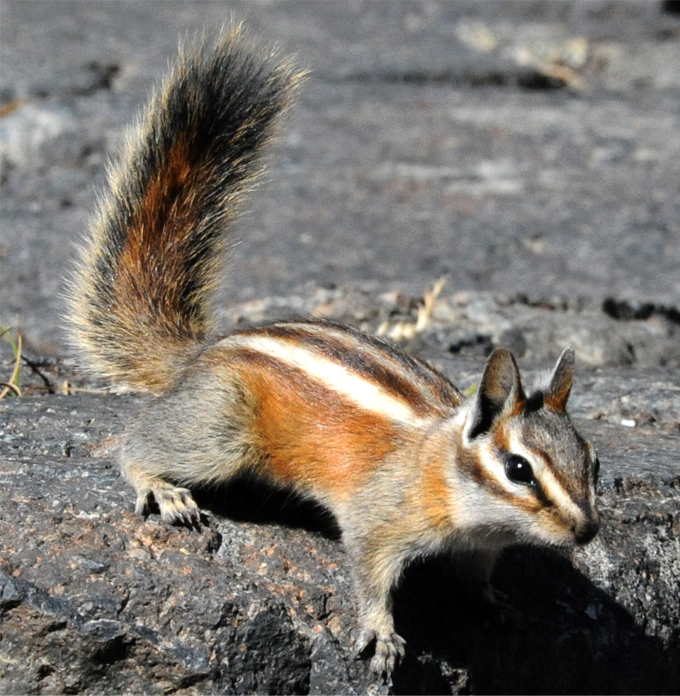
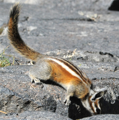
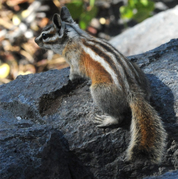 | OK, that's way too many pictures of chipmunks! |
 We had a pleasant walk back to the Ranger Station with more nice views of the stream and meadow. We caught the shuttle back to Mammoth and drove back Minaret Road to the Mammoth Lakes Scenic Drive which took us to US 395 North. | 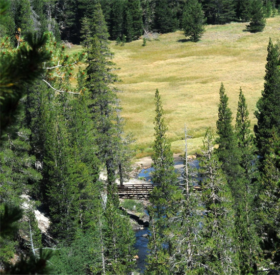 |
Obsidian Mound
August 7, 2012
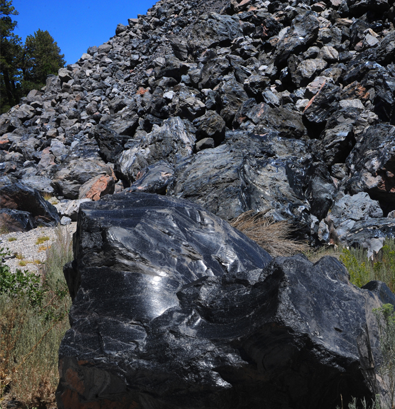
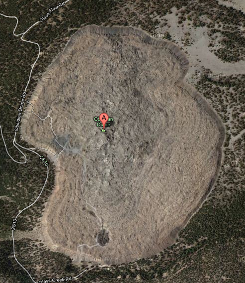
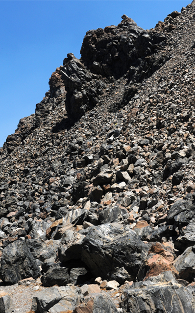
I was talking with a lady from South Africa at Twin Lakes, and she told me of her visit to an obsidian dome off US 395. When we rejoined 395 from the scenic road, we started looking for the turnoff to it. It turned out to be a dirt road and we nearly missed it. After winding our way along the road for a couple of miles, we did find this remarkable big jumbled heap of black obsidian. Obsidian is a glassy volcanic mineral, and a lady I met there said that some of the locals refer to this as "glass mountain". It was a huge pile of jumbled black boulders with some solid glassy outcroppings showing through. I walked probably a half mile in each direction and could see it rounding at one end, so it looks like the feature is at least a mile across. The background jumble of big obsidian boulders above is a typical appearance of the dome, but I cheated in putting the big obsidian boulder in the foreground. It is really the demonstration obsidian boulder from outside the visitor center of Mono Lake a few miles north. It may well have come from here, however.
When I found the contour map of this obsidian feature upon returning home, it appeared that my initial estimate was not that far off. Scaling from the map gives about 6000 ft for the longest dimension of the mound from north to south. 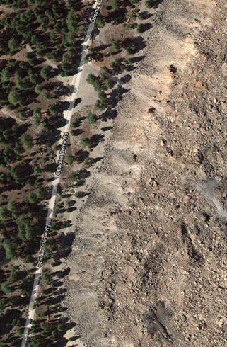 You can see the place where we parked on the satellite picture at left. We were just where it indicates a trail leading up on the heap of material. We could see the trail, but it looked pretty tricky, and being miles off the main highway on a dirt road, it seemed that a broken leg would be pretty inconvenient. So I decided to explore along the base. | 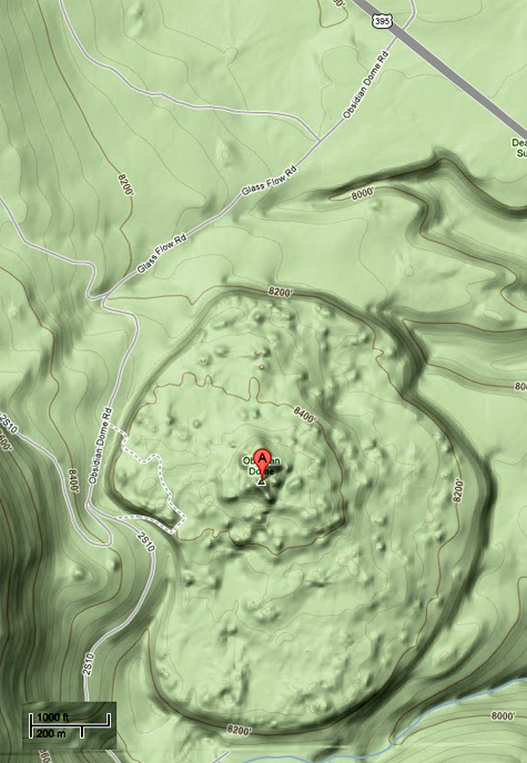 |
 | From the contour map, it appears that the parking area was at about 8300 ft and the top of the dome about 8400 ft. The view from the satellite looks much lighter in color than what we were seeing on the edge of the rise. As shown below, we were seeing a lot of the black obsidian glass. The whole geometry is believable as the flow of a very viscous liquid from a vent, carrying a lot of lighter rock with it. 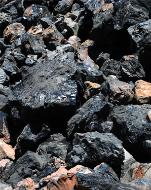 |
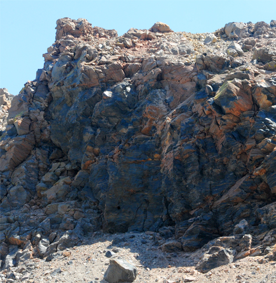 | This view of an outcropping helps explain why the mound looks so different from the top. The black glassy obsidian appears to have been upwelling from below and carrying the lighter colored rock. 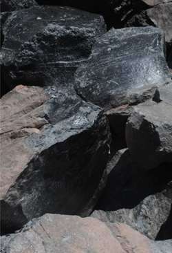 When I saw this fractured obsidian, I interpreted it as very old rocks that had fractured recently. But it is also consistent with the light material being carried on the liquid glass and coating it, and then the combination fracturing after the glass cooled and hardened. |
 | 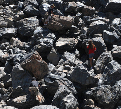 |
I started looking for things to communicate the scale of things. The trees above left give an idea of the height of the mound. It is believable that it is about a hundred feet as the contour maps suggested. The youngsters climbing at right show the size of the glass boulders.
 | 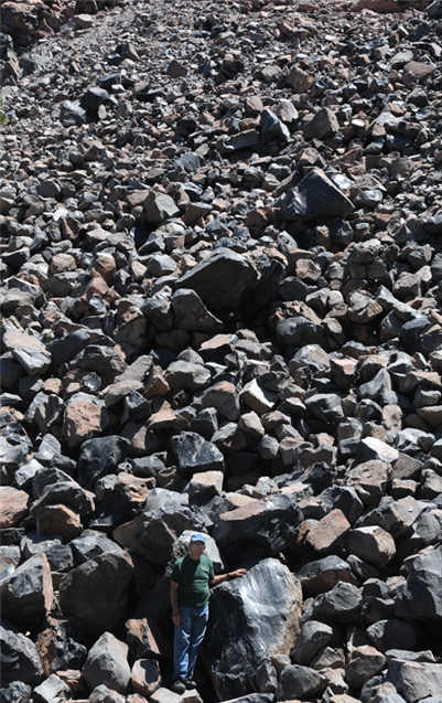 |
In the view above left, you can see obsidian outcroppings high on the side of the edge wall, indicating that it was still fluid when it reached this point. At right above, Rod shows the scale of the area. Those are some big chunks of glass! OK, why so many pictures of a big pile of rocks? Well, it certainly was a curious place and raised a lot of questions in my mind. What would it have been like to be there? Did it happen in a short time as a fluid upwelling, or over many years? With all that glass fracturing at the edge of the mound, was it noisy? | 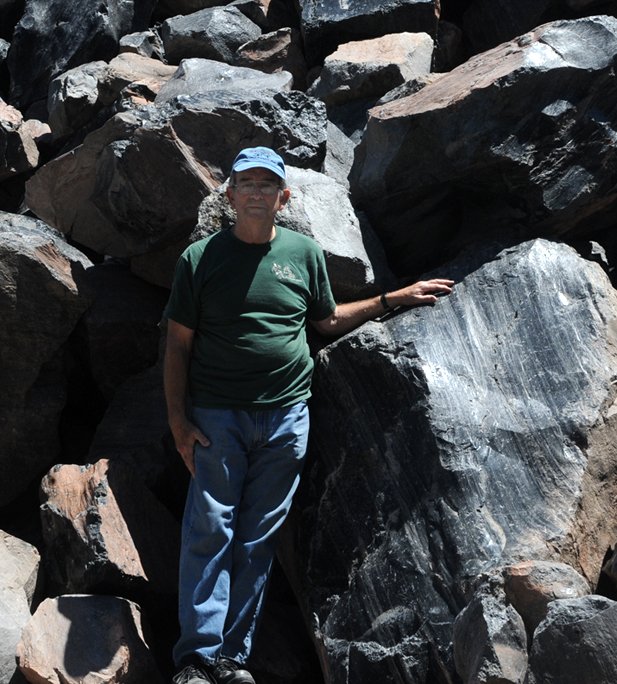 |
| Mono Lake |
2012