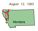
Across Idaho to Glacier Park
August 13, 1993

|
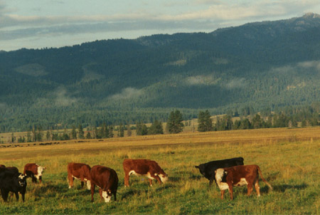
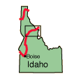
 | We headed out early to travel to the Glacier area. From Cascade to north of New Meadows we encountered huge herds of cattle. We followed the intriguing Salmon River for a time. At Riggins it comes out of a gorge over 100 miles long where there is no road access. It comes out a chocolate brown color, but quickly clears. These photos were between McCall and New Meadows. |
 |
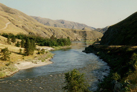
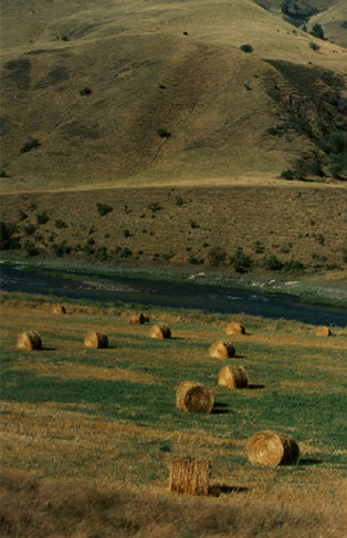
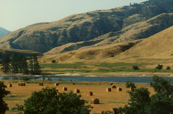
| These are views of the Salmon River after it has become placid along the path of Hwy 95. There were peaceful-looking hay farms along the river at the base of the rolling grassy hills.  |
|
With all the cattle in the area to be wintered, there are hay bales of all sizes everywhere. They make a nice scene against the river and the mountains.
|
|
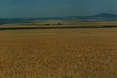
As we approached Grangeville we encountered wheat fields that stretched to the horizon, dotted by small farm building complexes with silos.
|
|

|
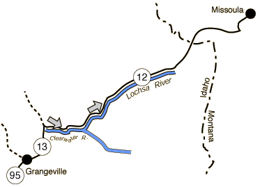
Leaving Hwy 95 at Grangeville, we followed 13 over to Hwy 12 along the Clearwater River.
|
|
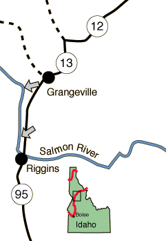
It seems that all roads in Idaho follow rivers. Today we have followed the North Fork of the Payette River, The Little Salmon, the Salmon, the Clearwater and the Lochsa River. The location of the photo above is along the Clearwater River at the location indicated by the left arrow on the map. We had lunch at that spot. The right arrow indicates a view along the Lochsa River, photo below right.
|
|
|
Index
1993 |


