Utah Highway 12, A Scenic Byway
November 2, 2016
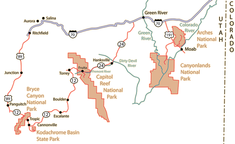
On November 2, we had driven from Moab back up to Interstate 70 and westward to the junction of Utah 24. That highway took us into Capitol Reef National Park which we explored.
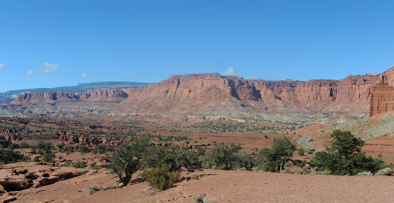
Panorama Point had certainly given us a spectacular farewell to Capitol Reef. We were now going to follow Hwy 24 a little further west to Torrey to take Hwy 12 southward. You can see that road curving away from us at right above, and if you look closely, you can see that it then turns leftward and proceeds across the valley - I think I can follow it about 2/3 of the way across the valley.
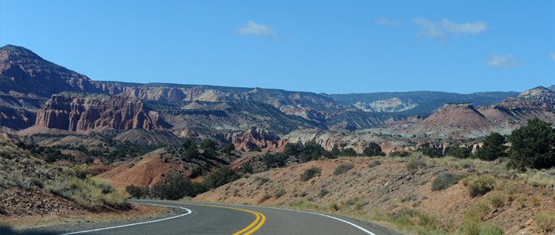
We rode on open roads like this for about 10 minutes to get to this point, which was approaching Torrey. We noted only a few houses at Torrey, but there was a service station, so we decided to get gas, having not seen any service stations in many miles. I pumped gas and the pump didn't print a ticket, so I went to the door to get a receipt. The place was locked up tight - but at least I was able to get gas.
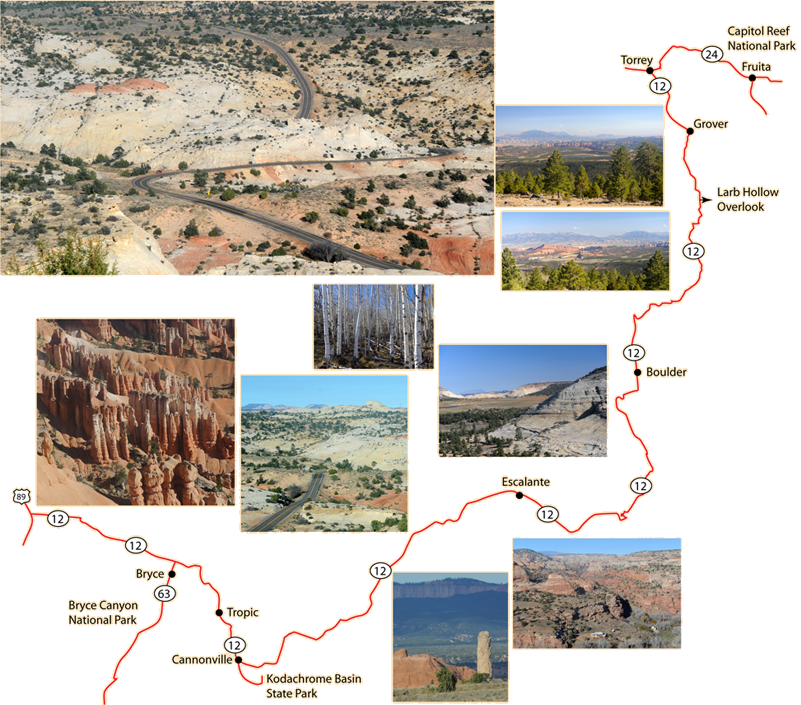
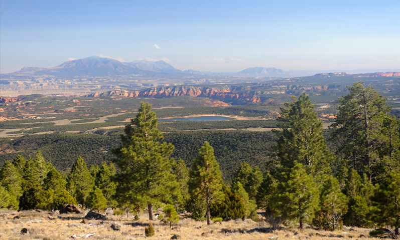
We took Hwy 12 southward from Torrey, and started climbing into forested mountains. About 30 minutes down the road we started getting beautiful vistas on the left side of the road, including an enchanting blue lake. This was the view we got of the scene from the Larb Hollow Overlook, but there is no way that a single photo can do it justice. It was truly one of the most beautiful vistas I have ever seen.

This is a bit wider view. Perhaps the lake added a lot to the magic of the spot. We had been in desert, and certainly hadn't seen a blue lake like this one.
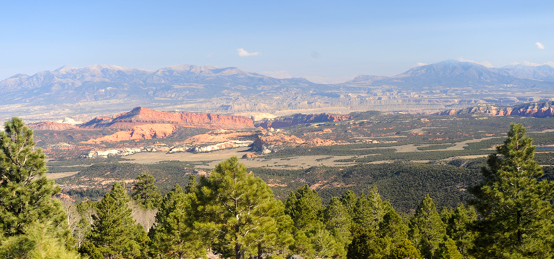
Swinging a bit northeast from the lake, there were views of grassy areas among the forested hills.
Swinging further to the north, you could see the thinning of the trees on the elevated areas and the blending into desert formations in the distance.
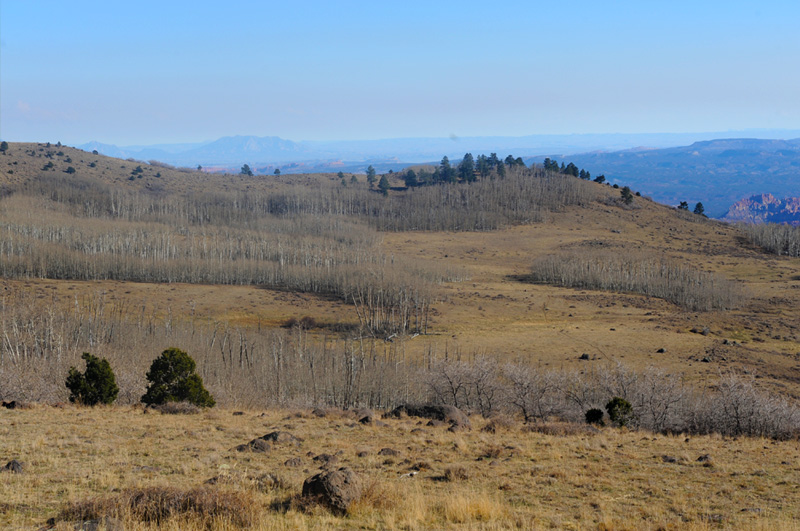
We drove on about 15 minutes, climbing steadily, and there was a change from evergreen forest to groves of aspen scattered on the mountains. It would have been nice to see them with their fall colors on, but we were a few weeks too late.
 | The aspens close to the highway were dramatically white. 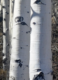 |

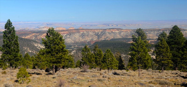
As I recall, the highway climbed to over 10,000 ft, and that was above the tree line for these trees at least. We got some wide open views of the mountains to the east of us. You can see the groves of aspens in the distance below us.
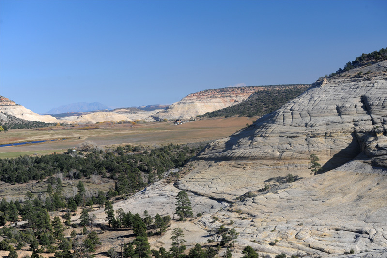
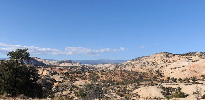
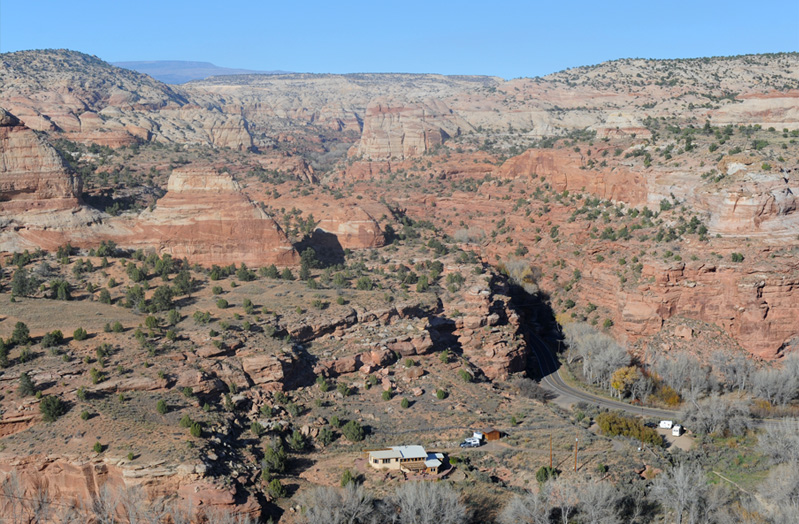
In another 15 minutes we were going through rock formations, and this was my favorite view near Boulder. Among all these massive striated rock structures was this attractive lake, meadow and farmhouse. | 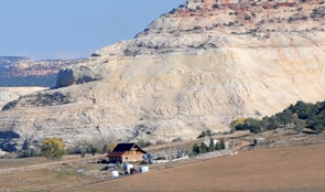 |
A little less than 10 minutes past Boulder I was intrigued by this stream wandering through the desert region. You can't see the stream, but you see the trees that are "planted by the water".
 | 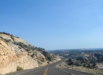 |
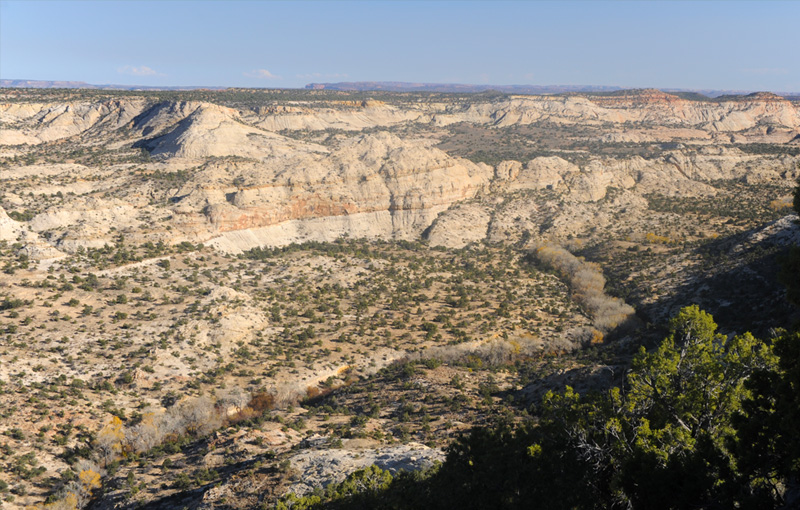
For the next several miles the highway snaked up and down and around the rock ridges and humps. A couple of times the rock ridge the road was on was just wider than the road.
The weather and the rocky countryside were beautiful. It was nice to be out under the wide open skies.
 |  |
This flatbed truck passed us on this curvy mountain road. He was obviously much more familiar with it than us first time visitors.
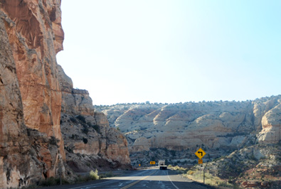
This was my favorite shot for showing the multiple levels of the road as it wound through these rock formations. We were on the road high above. This was 45 minutes past Boulder. It was another hour to Cannonville, so I think this was some distance past Escalante.
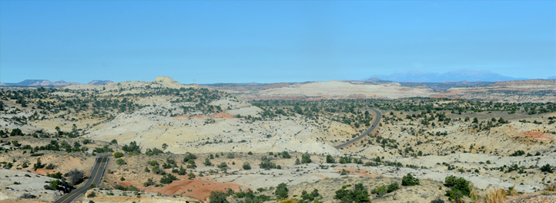
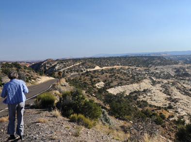
The country opened up about five minutes further along and at places like this you could see the road for an amazing distance ahead of us.
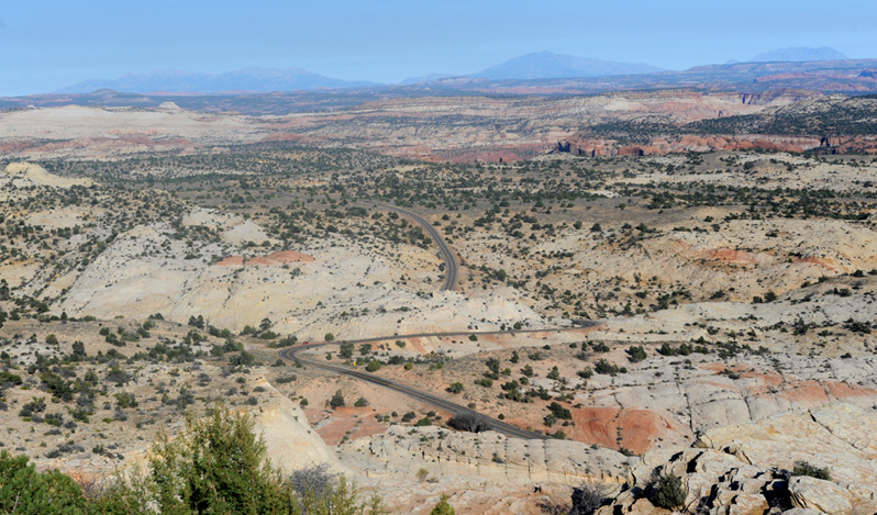
This is what they call a "Scenic Byway"!
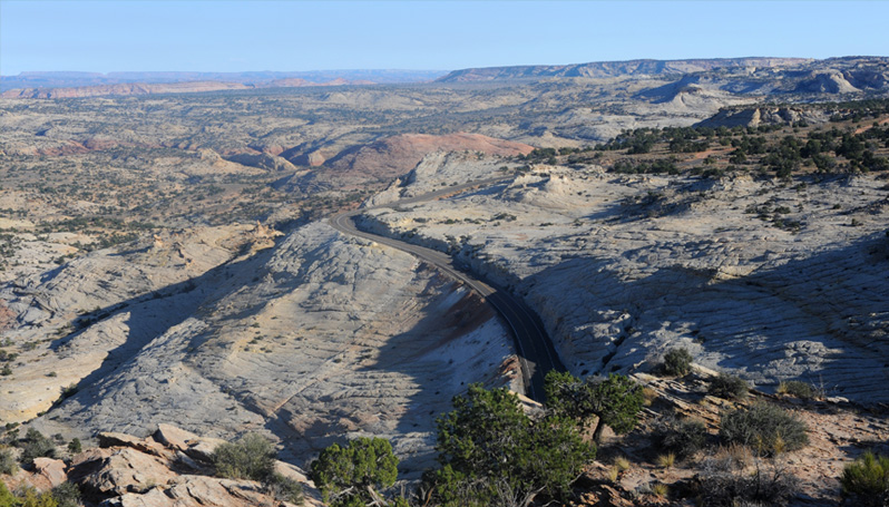
From this overlook we could see the road below us where they just had to chew the roadbed out of solid rock. Below the road you can see some rock columns, which may have some similarities to those we saw in Kodachrome Basin the next day. | 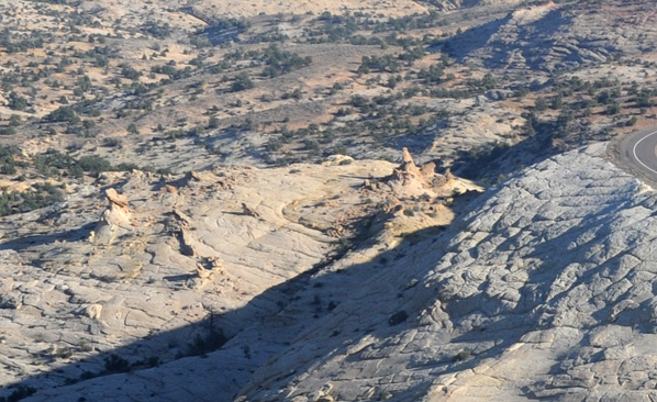 |
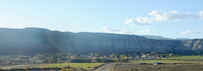 | Another hours drive, and we came down a long slope into Cannonville, our destination for today. |
Brenda heads for the office of the Grand Staircase Inn in Cannonville. 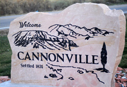 | 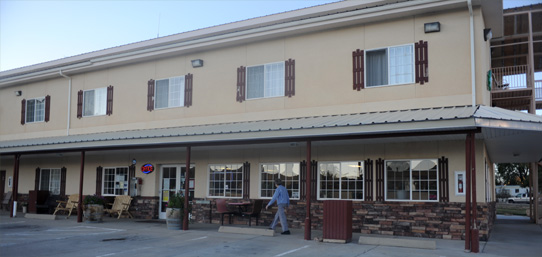 |
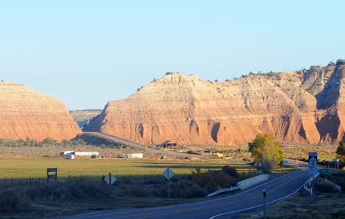 | This is the view from the motel back down the road to where we popped through the ridge and into Cannonville. This was the only motel in town, and there were no restaurants! For food they recommended driving north to Tropic, just a few miles north on Hwy 12! So I was standing there looking at most of the town. The population in 2000 was 148! This is called the Paria River Basin and the Paria River is used for irrigation here.
But the motel and the people were quite nice and it worked very well for us to stage to Kodachrome Basin. |
From the motel, the view eastward across Hwy 12 was to this ridge running north to south. There were irrigation rigs out in the fields there. |  |
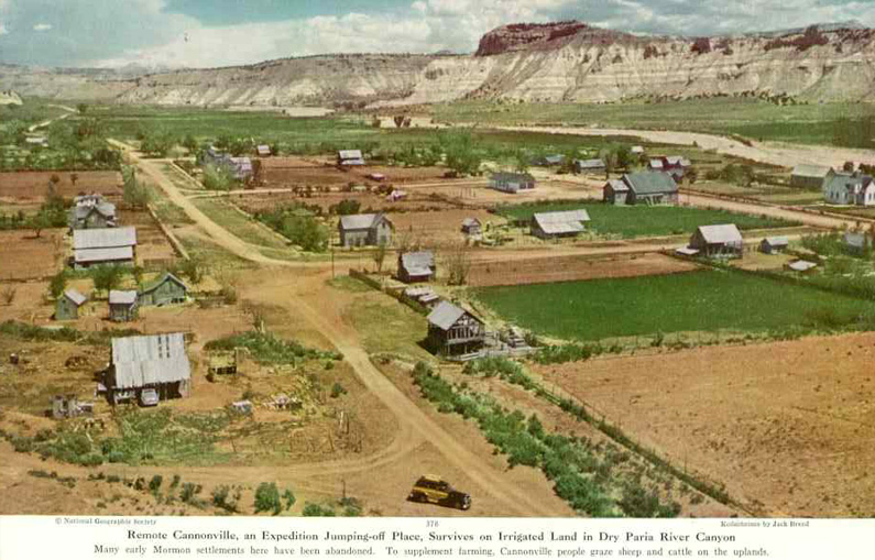
This is the picture of Cannonville included in the 1949 National Geographic article which discusses their naming of Kodachrome Basin and their exploration of the area, including Chimney Rock.
| to Kodachrome Basin |
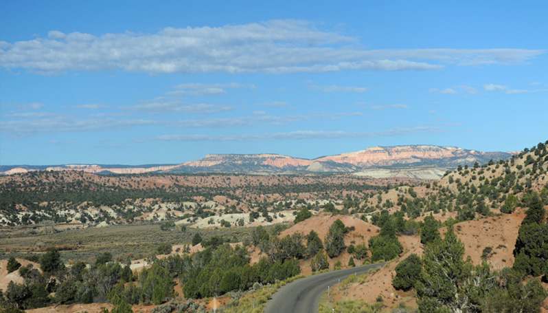
After our visit to Kodachrome Basin State Park we headed north and got some views of the Kodachrome approach road that we hadn't seen when we came in because it was too dark. We passed through Cannonville and headed northward on Hwy 12 again.
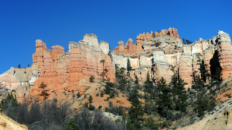
After passing through the town of Tropic just north of Cannonville, we started encountering formations reminiscent of Bryce Canyon. At some point along Hwy 12 we actually passed into Bryce Canyon National Park territory, but I don't recall seeing any sign to that effect. It was just a short distance to the official entrance to the National Park.
| to Bryce Canyon |
| Traveling to Green River |
2016