Grand Canyon, Bright Angel Trail
May 26, 2011

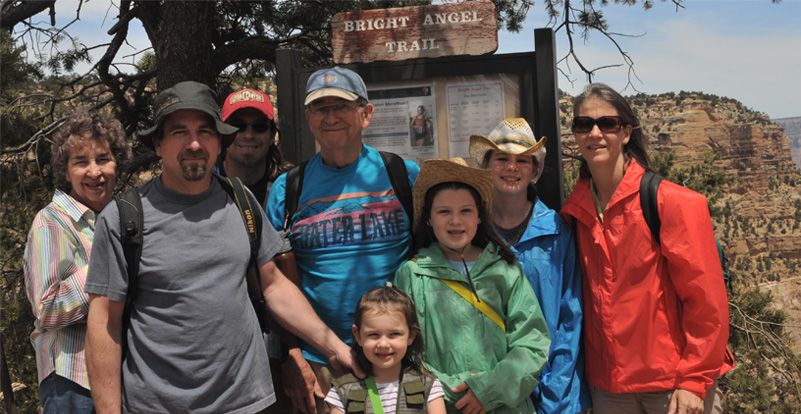
Yesterday was a great day of exploring the South Rim, Grand Canyon. We rejoiced at having Mark join us last night, but he and the rest of us were exhausted from the early day yesterday and slept a little later. We then headed for the South Rim, Grand Canyon. We took the shuttle to the Bright Angel Lodge, and took this family picture behind the Lodge. We had reached the rim at about 11am.
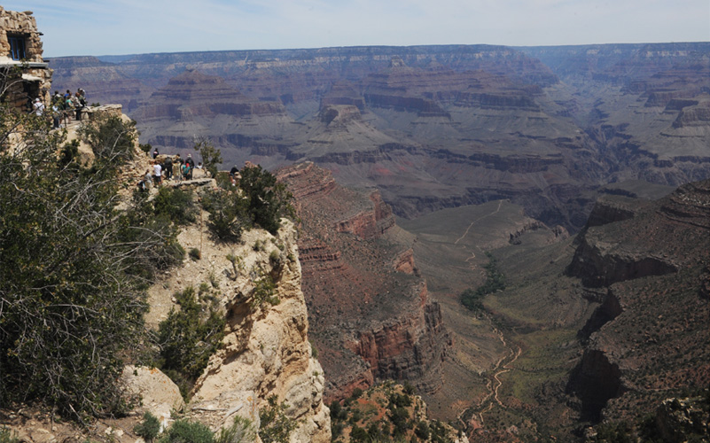
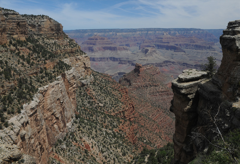
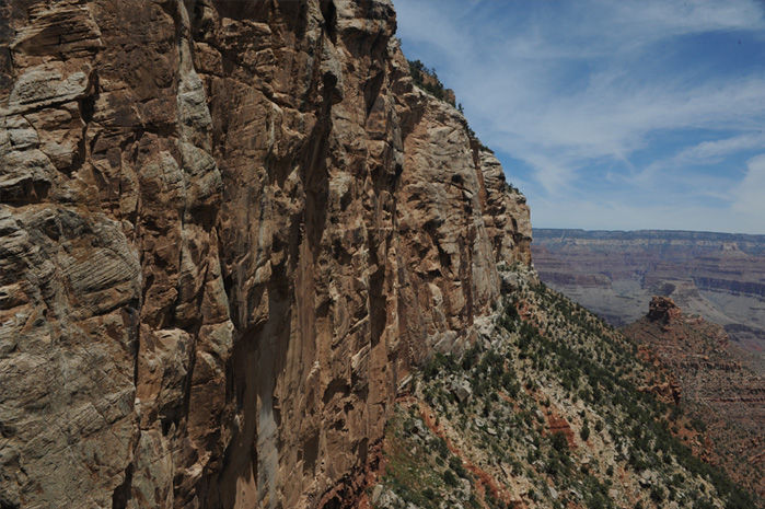
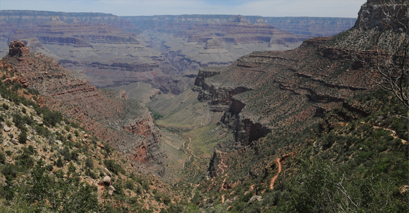
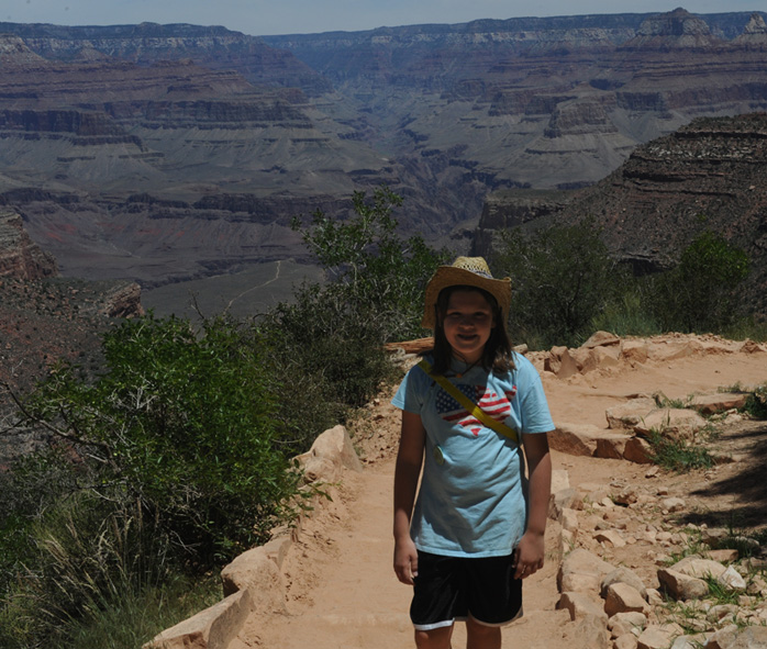
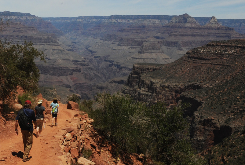
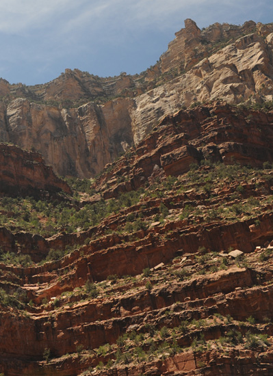
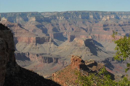
From behind the Bright Angel Lodge we got great views of the Grand Canyon. The buildings were right on the edge, and the Rim Trail surely was right on the rim of the canyon. We were headed for the Bright Angel Trail and this view shows a long stretch of it far below us in the Canyon. We weren't going to hike far enough to be on any of this trail that is showing, but it was good to see where it is going. From the long stretch on the flat area, the trail drops steeply to the Colorado River and Phantom Ranch.
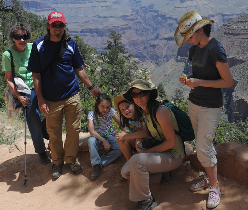
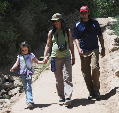
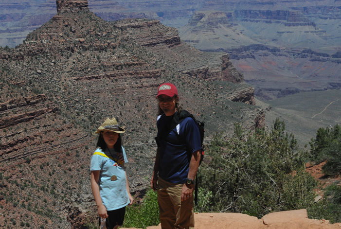
We soon moved down to the trail head of the Bright Angel Trail and a nice lady took this family picture for us.
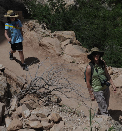
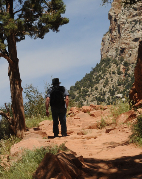
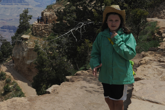 | Behind Jordan is the beginning of the Bright Angel Trail. Notice that even though it was just after 11am, it was cool enough that our jackets felt good. That made it a great day for exploring part of the famous Bright Angel Trail. |
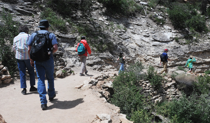
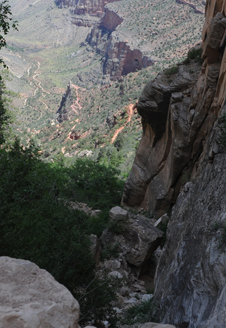
This shows the first couple of levels of the trail close to the top, and gives a sample of the great Canyon views we got from the trail. | 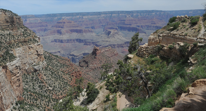 |
 | 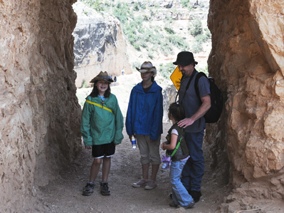 |
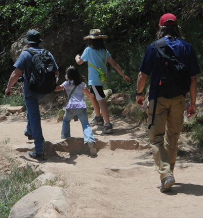
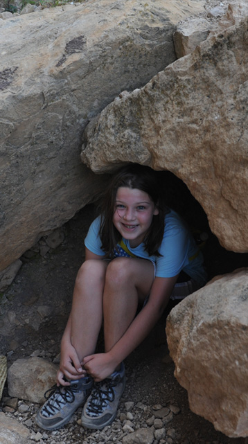
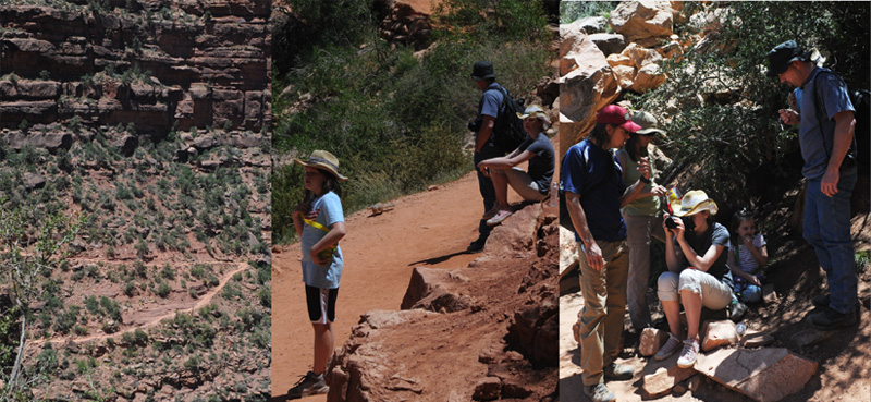
Mark and the girls pause in the short tunnel that we came to a short way down the trail.
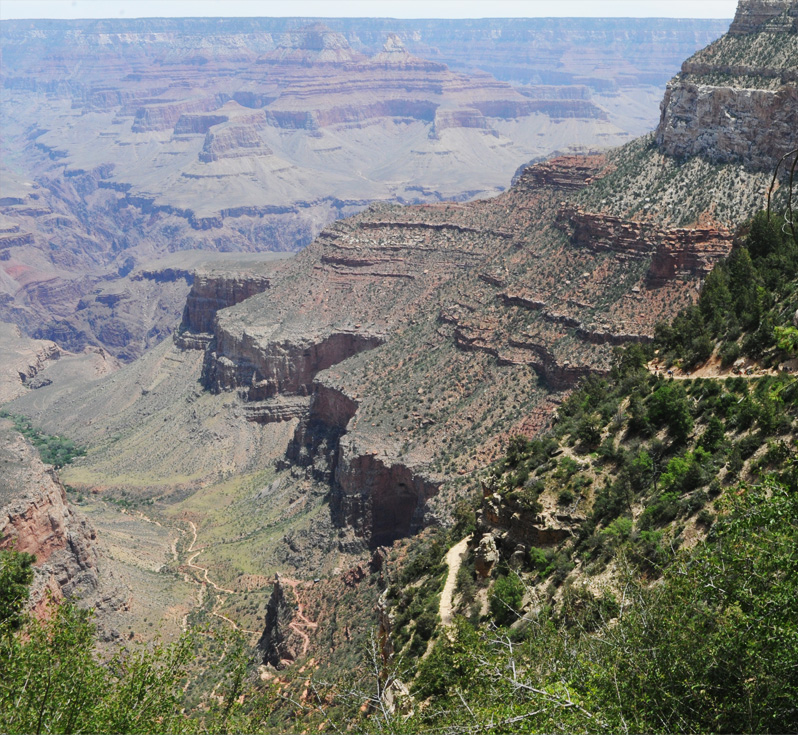
This is our view of the Canyon from this point on the trail.

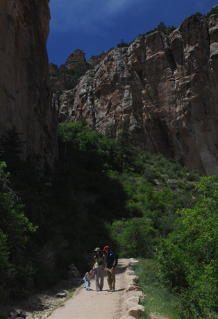
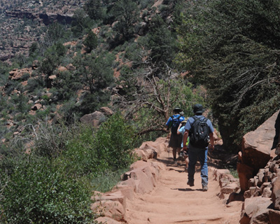
 | The family all together on the Bright Angel Trail. We are all strung out on the upper part of the Bright Angel Trail with great views of the Grand Canyon. |
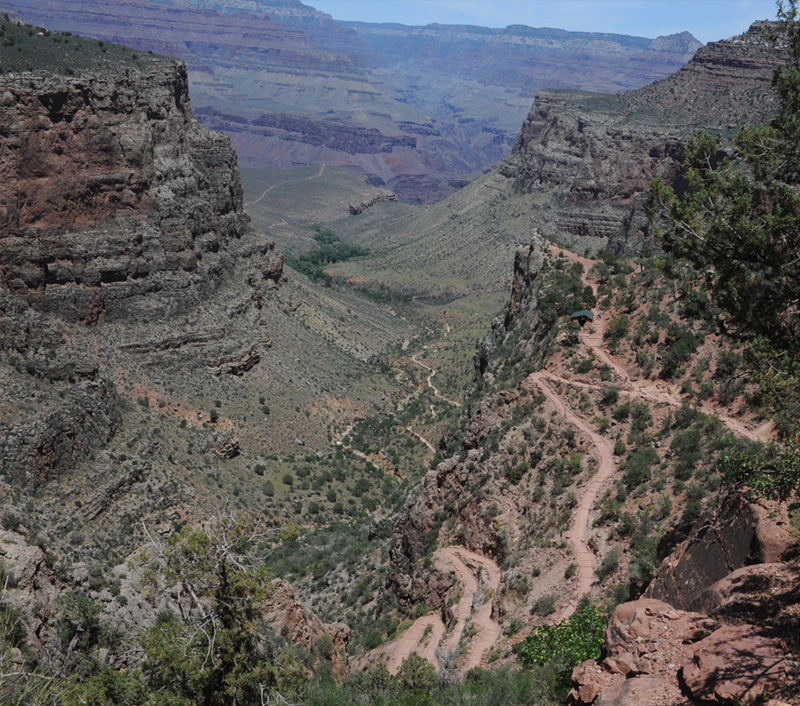
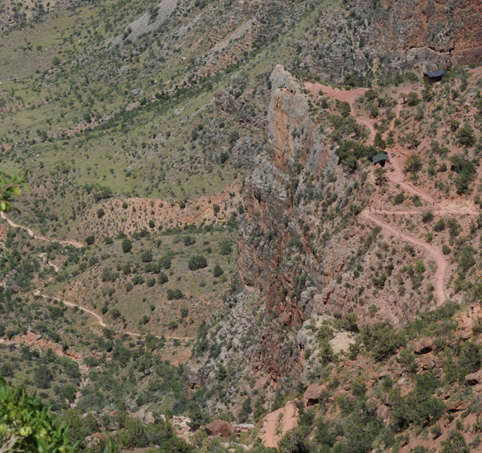
This is a good perspective view of what turned out to be our destination on this hike. It is the feature I call the "Big Z" for obvious reasons. It is three miles down the trail and 2000 feet down from the rim in altitude. Even so, it is not even half-way down to the bottom of the Canyon. One interesting thing about this view is the set of two segments of trail you see on the rignt. That is going downhill rapidly! Below, Brenda is on the trail headed for a big switchback. At the bottom left of the that image you can see the continuation of the trail.
Elyse and Jordan sit and wait for us adults to catch up. We wanted them to stay in sight of us. 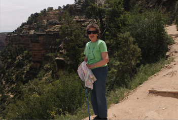  |  |
We've made it down several switchbacks now and are getting views deeper into the Canyon. 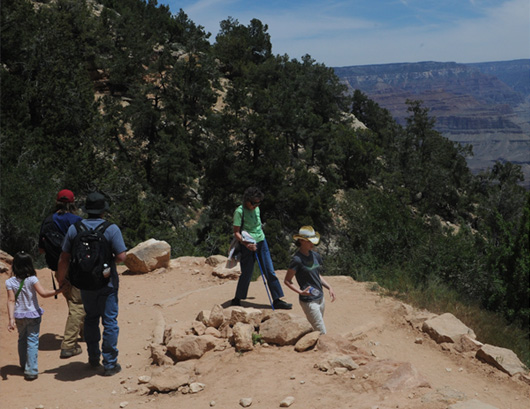 |  |
 |  |
 | We are now far enough down into the Canyon that we have massive stone walls towering over us. |
Still dropping steeply, the trail takes us down rapidly. 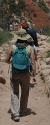 |  |
 |  |
Darla heads on down the trail with the steep drop to the Big-Z out in front of her.
 |  |
The view from this point in the trail downward to the Big-Z shows even more dramatically how steep the drop is from here to there. If Jordan has to wait for us to catch up, she might as well hide in the rocks to wait.
 |  |
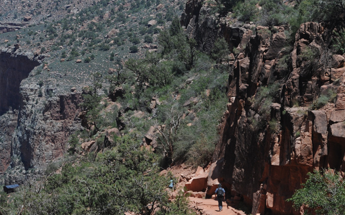
 | As we got lower in the Canyon, we were sometimes in the shadow of the great walls like Jeff, Darla and Elyse above. But sometimes we were out on points like Jordan here, with wide views of the canyon. |
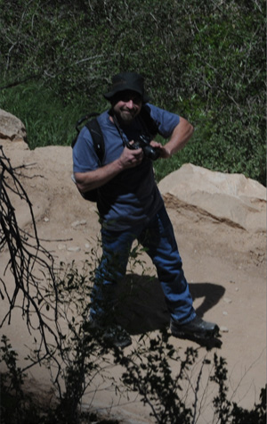 | 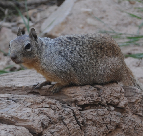 |
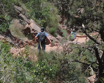
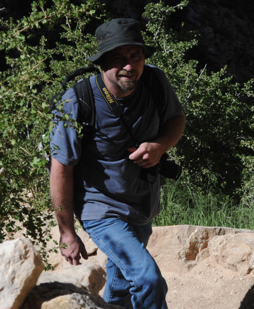
Sometimes on the tight switchbacks, we were passing over each other, as I am looking down on Mark here. This squirrel looks pretty fat, so maybe the prohibition on feeding them is not holding up this far down in the Canyon.
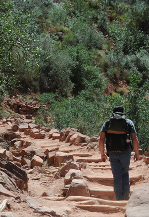
We made it to the Mile-and-a-half Resthouse at 12:10, having been on the trail for right at an hour. The last stretch of the trail was like that at left above, red-sand trails making switchbacks down the rocky slope. There we made sure we drank a lot of water and had a snack. We could see the Big-Z below us and I was inclined to go on down to it, not knowing that it was another mile and a half. In fact, its designation in the trail guides is "Three-Mile-Resthouse". Darla and Elyse waited here while Jeff, Jordan, Ashleigh, Mark and I headed on down.
 | Jordan and Jeff with the view from the vicinity of the Rest Stop. |
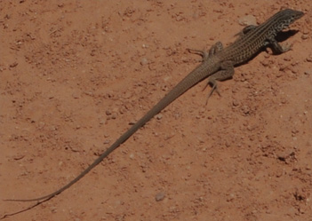
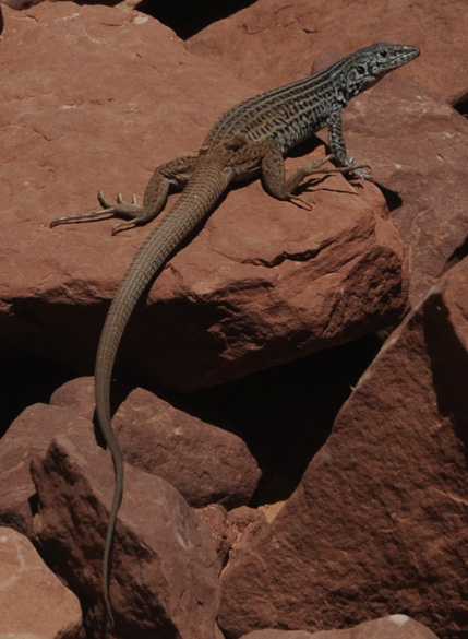 |  This extremely long-tailed lizard was hanging around on the red rocks near the Rest Stop. We had seen a speckled lizard on the Kaibab Trail yesterday, but the speckles have definitely morphed into stripes and splotches on this character. He was quite fat, so I was thinking that there might be some reason that the living is easy near the Rest Stop. The water and the presence of all the people might attract more insects than other parts of the trail. I was going to suggest "skirted lizard" for this one compared to "collared lizard", but it appears that it is just shedding its skin. |
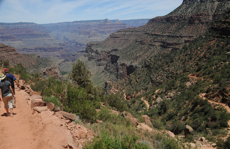
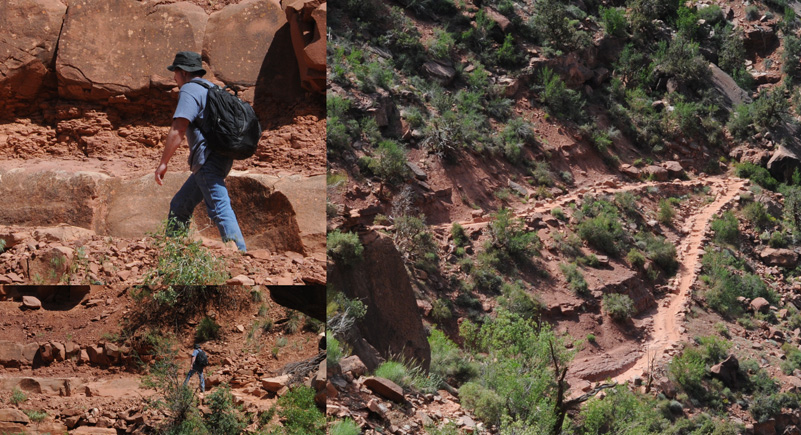
 I caught Jordan and Ashleigh when they made a brief stop in the shade of this red rock overhang, but then they and Jeff were off and I basically didn't see much more of them again until we got to the turnaround at the Big-Z. The sand on the trail was now redder and deeper. We were getting views down into the bottom of the Canyon. Below you can see the nature of our trail for the remainder of the route. | 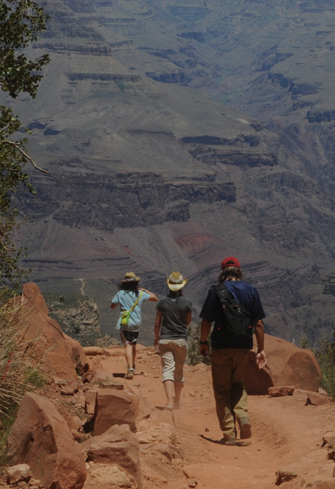 |
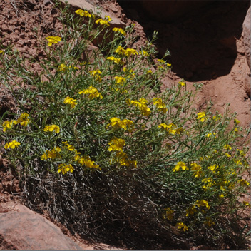  | 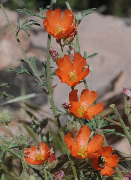 |
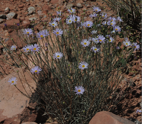
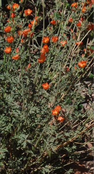
There were more nice flowers in the Canyon than I expected. These orange flowers really produced some nice settings alongside the trail. This is the same variety of long-tailed lizard that I found near the Resthouse, but he is a lot skinnier. Life must be tougher out here on the open trail.
OK, getting distracted by flowers and such has gotten me behind again.
 |  |
I catch up with Mark and Jordan because they get held up by some slow hikers who are sort of blocking the trail. But when they get around them, they are off again.
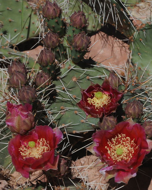 |
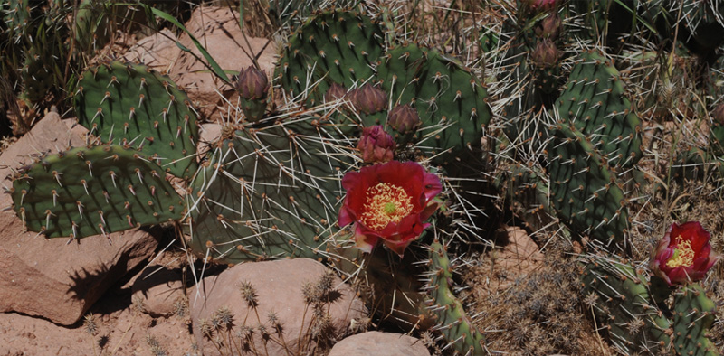
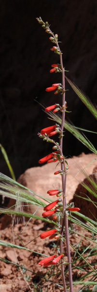
Whoa! I was amazed to find such beautiful cactus flowers along the Bright Angel Trail! One of the impressions that was growing with me was that the people who hike the Bright Angel Trail really respect it. I had not seen a scrap of paper or any kind of human-generated trash. I had passed a lot of delicate flowers which were very vulnerable to being damaged, and had not seen one example of a trampled flower. Pretty impressive! |
Sometimes Mark would hang back to check on me, but he realizes how easily distracted I am with things like cactus flowers. | 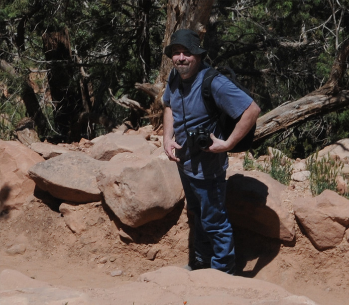 |
 | Mark and Jordan ahead of me make the final stretch to the Big-Z, formally known as the Three-Mile Resthouse. We made it in at 12:50, taking 40 minutes for the 1.5 miles since the last stop and 1 hr 40 minutes from the top. You can see one of the small structures of the rest stop at the bottom left of the picture. |
 |  |
I thought the view above left was an interesting piece of rugged trail just before we reached the Big-Z. Above right is a view of the wall above us from the rest area. We have come down 2000 feet from the Trailhead on the rim, so that's approximately the height of this wall.
We are now about five minutes back up the trail and looking back at the Big-Z where we have just been. The switchbacks downward from that point are intriguing. They even have a name: "Jacob's Ladder" and are said to be "gruelling". They lead steeply downward and then on through the valley to the area with the green trees. That area is called Indian Garden, and Havasupai farmed there until a century ago. There is now a campground there with year-round drinking water. That point is 1.6 miles past the Big-Z or 4.6 miles from the Trailhead and 3060 feet down in altitude. The trail that leads out of Indian Garden goes across the open plateau called Tonto Plateau, ending at Plateau Point with gives views of the inner gorge.
 |  |
We are now on the upward journey. The flowers are particularly appreciated now because they give me an excuse to stop and take a picture.
 |  |  |
We've gained enough altitude now that we are getting wide views of the Canyon again.
 |  |
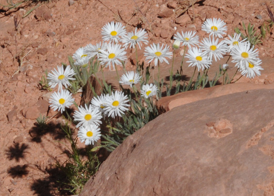 | We continue the upward slog, and I continue to use the flowers as an excuse to stop and rest a minute. I saw these white flowers in a lot of very rocky locations, so they must be very hardy. 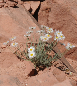 |
 | Looking back down on the Big-Z from our perspective now, you can see what a high cliff it is on compared to the trail you see emerge from the back side of that cliff. You can certainly believe that the set of switchbacks called Jacobs Ladder that brings you up from below is really a killer. |
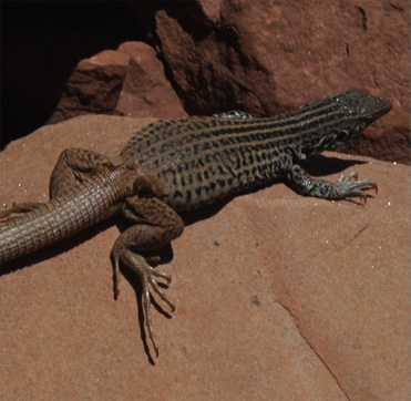
We encountered another of these extremely long-tailed lizards, so that gave me a nice break from the climb. 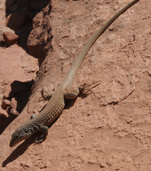 This one has some folds of skin behind its rear legs just like the first one we found. Either this is just the molting season for them, or this is really an anatomic feature of these lizards. | 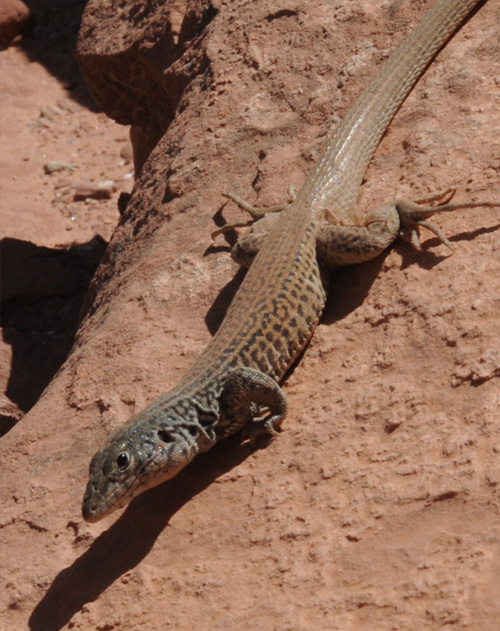 |
 | We move on up the trail, reaching the midpoint at 2:50, it haven taken two hours for the upward leg that only took us 40 minutes to go down. We keep on trudging upward on the last mile-and-a-half leg of the journey. At least there were inspiring views of the Canyon all along the way. 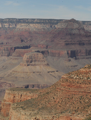 |
This cute squirrel provided an excuse for a brief respite from the climb.  | 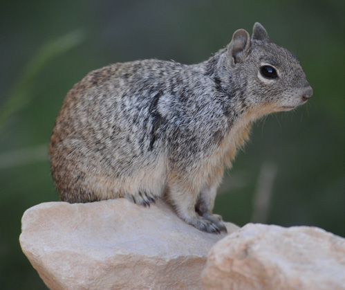 |
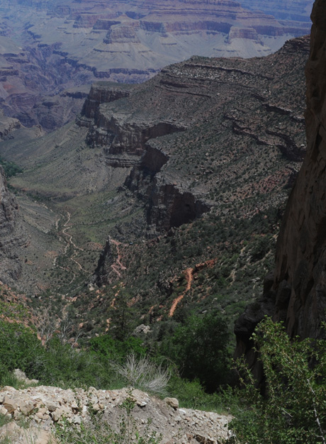
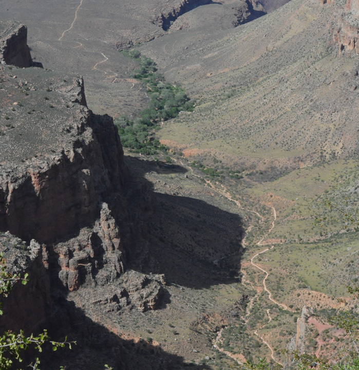 | Now that we had been down much closer to the valley, I could better appreciate what I was seeing from near the top. We had been on the cliff that is just at the bottom right of this photo. This view shows the trail almost all the way from there to the green Indian Garden. It is then 1.6 miles from our viewpoint at the Big-Z atop that cliff to the green area around the present campground. But you have to go down all those switchbacks to get down the cliff to the valley trail. |
Zooming in on the patch of green, you can see several roofs and what is maybe a large diesel generator. This is Indian Garden, which provides a campground for hikers. Since we are now near the trailhead, this little oasis is about 4.6 miles from us and 3060 feet down in altitude! |  |
 | The afternoon sun is giving more color to the canyon walls, and we are making it up our last few switchbacks. 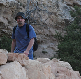 |
Down there, over three thousand feet below us and 4.6 miles by trail, some hikers are setting up camp under the cottonwood trees in Indian Garden. But we are very happy to be rounding the final bend with our heads at the height of the Grand Canyon rim.  I reached the top at 4:30, so the last 1.5 mile leg took an hour and a half, for a total of 3 hr 40 min for the ascent and 5 hr 20 min for the entire six-mile hike. | 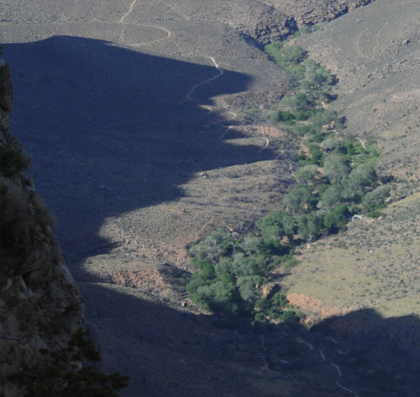 |
Brenda had gotten to explore things on the rim of the Canyon and had decided to take in the instructional session on the California condors. Jeff and Darla and the girls got to the top just in time to join her. When they got out, Mark and I were arriving at the rim and we decded to have dinner at the Bright Angel Lodge.

Your Honor, I can bear witness to the fact that I was watching this raven, and he was minding his own business. He was subjected to an unprovoked and vicious attack by this blackbird! | 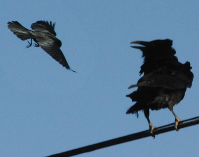 |  |
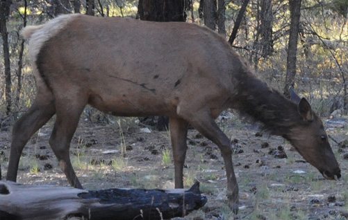 | We had had a full and eventful day of exploring the Grand Canyon area, and after a nice dinner we were ready to head back to Williams to our motel and settle for the evening. Just a couple of events that were out of the ordinary on the way. As we were walking to the Bright Angel shuttle stop, we saw the strange attack chronicaled above where a much smaller blackbird attacked a large raven. Then we were pleased to see this large elk cow feeding beside the road as we exited the Grand Canyon area. |
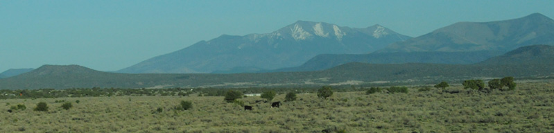
On our pleasant drive south toward Williams, we got views to the east of these snowcapped peaks. We had seen them on our initial approach to Flagstaff and came to know them as the San Francisco Peaks.

A little further south we rode through beautiful green rolling hills where just the barbed wire fence showed signs of human activity.
It had been a great day at the Grand Canyon and we turned in early to be ready for the adventures of tomorrow.
| South Rim to North Rim |
2011