Honolulu to Atlanta
June 30, 2018
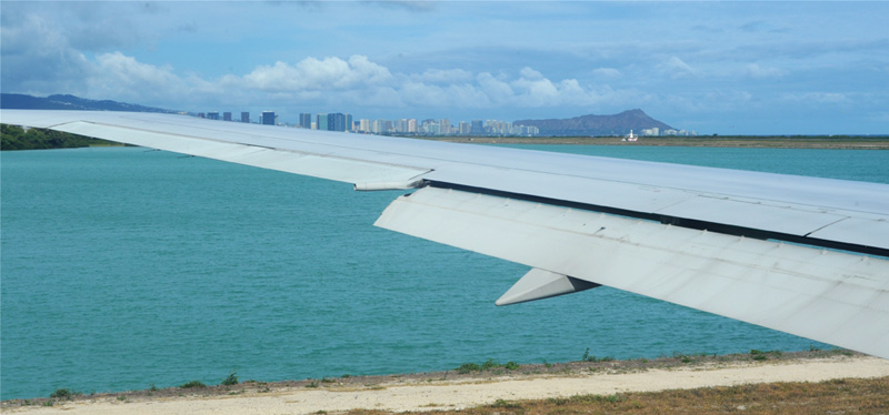
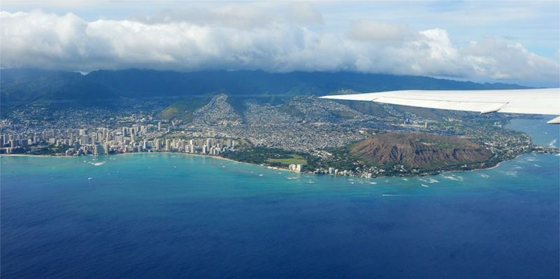
We were scheduled to leave Honolulu at 4:25pm local time. We got a pretty good view of Honolulu and Diamond Head on our taxiway out to the takeoff.
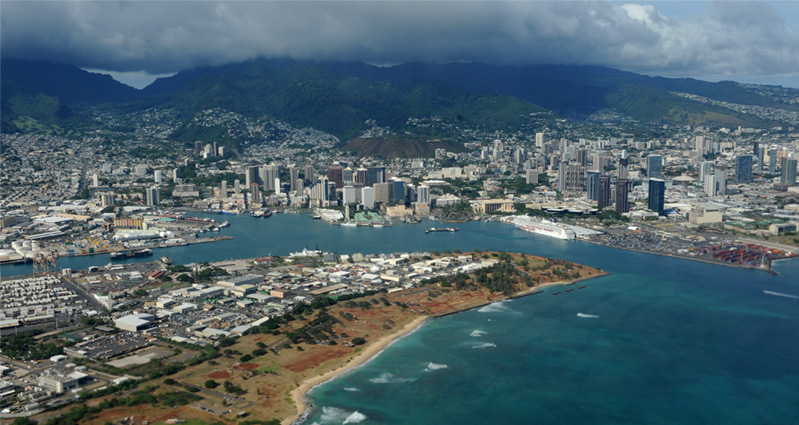
| As we lifted off we could see the Pride of America still at dock. We could imagine the busyness onboard - getting all the luggage to the staterooms, etc. And the excitement of a new group of people just beginning with their week tour. | 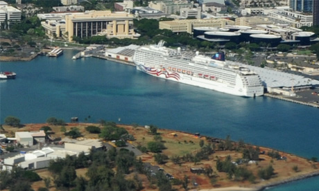 |
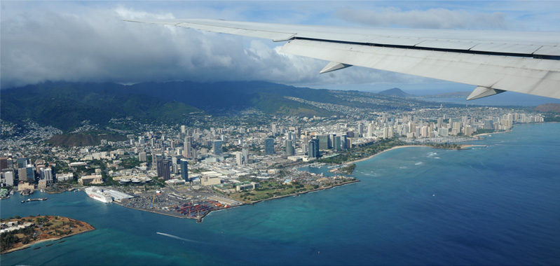
This shows the ship's docking area in the wider context of Honolulu.
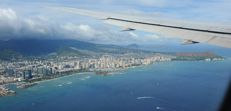
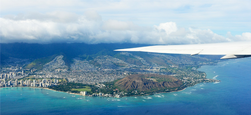
A wide swath of Honolulu plus Diamond Head.
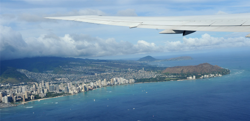
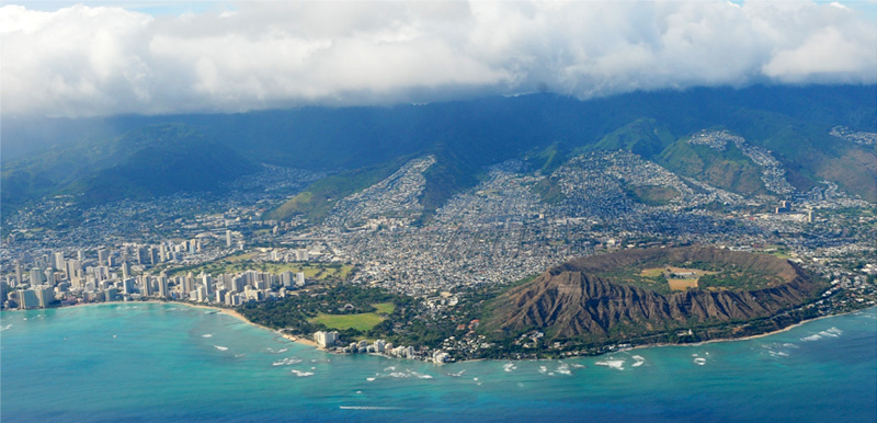
Rising higher, we could see the hotel row along Wakiki Beach and Diamond Head.
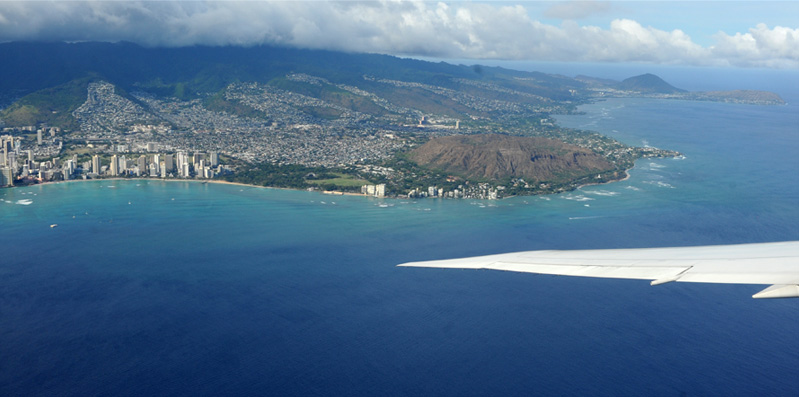
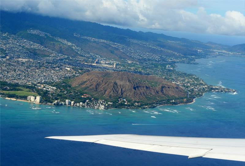
The profile of Diamond Head is very familiar from ground level, but it looks very different from the air. From the ground you just see a mountain with a characteristic profile, but from the air it is obvious that it was a volcano. The other impression here is the amazing sprawl of Honolulu along the coast. Most of this area was rural on my first trip in 1959. Honolulu has become a major world city.
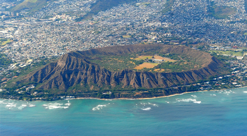
It is a bit of a surprise to be able to look down into Diamond Head, and then to see buildings there as well.
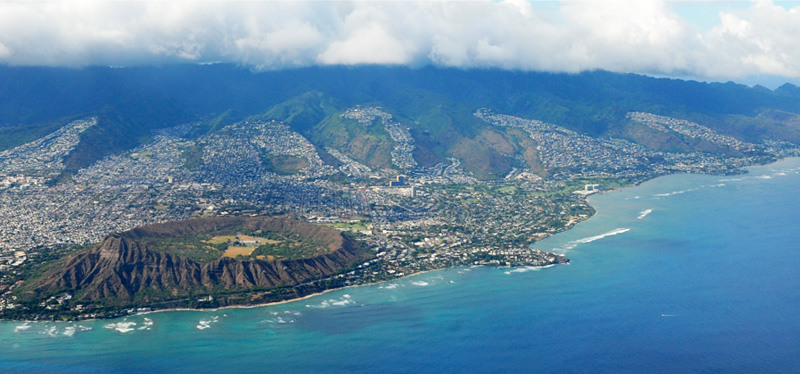
There was a large population out beyond Diamond Head, with the appearance of separate dense cities spreading up each valley.
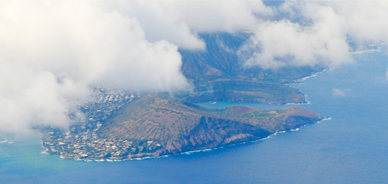
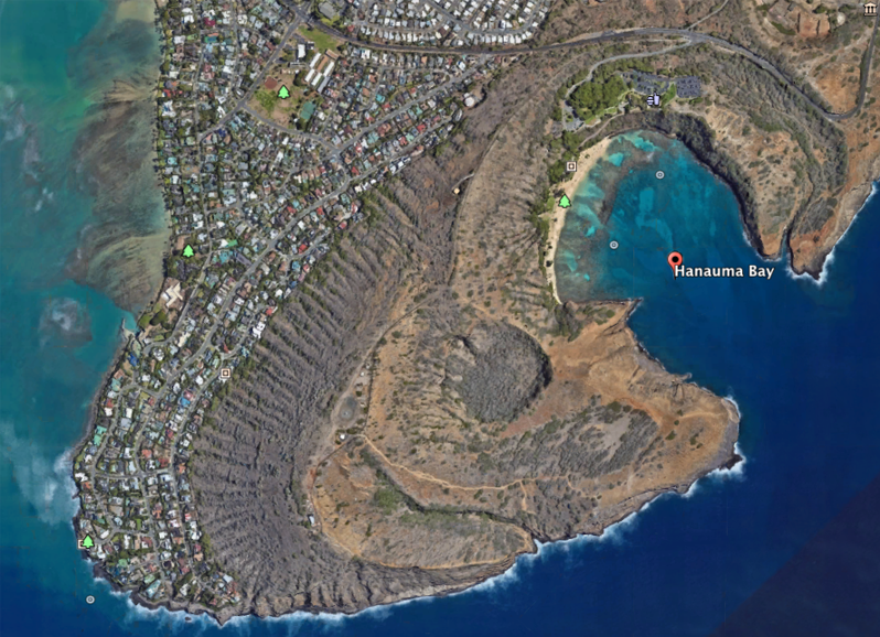
We flew past Hanauma Bay, which is certainly indelible in my memory. It was quite remote when we visited it in 1959, making the 20 mile or so journey from Camp Puu Kahea in Honolulu. It even seemed quite rural when Brenda and I visited it in 1987. It is still beautiful and preserved as a park, but it was quite a shock to see how the dense housing had encroached upon it as shown in the aerial view below.
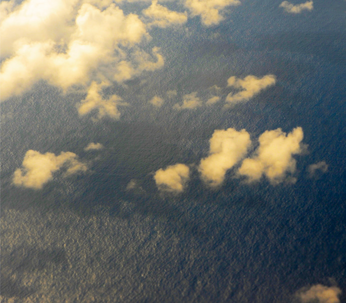 | About 4:45pm (10:45pm Atlanta time) we turned away from land and found ourselves above the open Pacific Ocean. It reminded me of the first time I flew out over the ocean in 1959 and was so fascinated by the appearance of the sea. |
At about 5pm I was looking back toward the Sun and noting the shadows of the scattered clouds on the surface of the sea. | 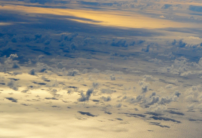 |
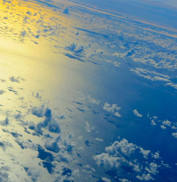 | More cloud shadows, and I was fascinated by the change in the color of the light reflecting from the ocean as I looked closer to the Sun. |
I just enjoyed watching the surface of the sea and the ever-changing clouds. | 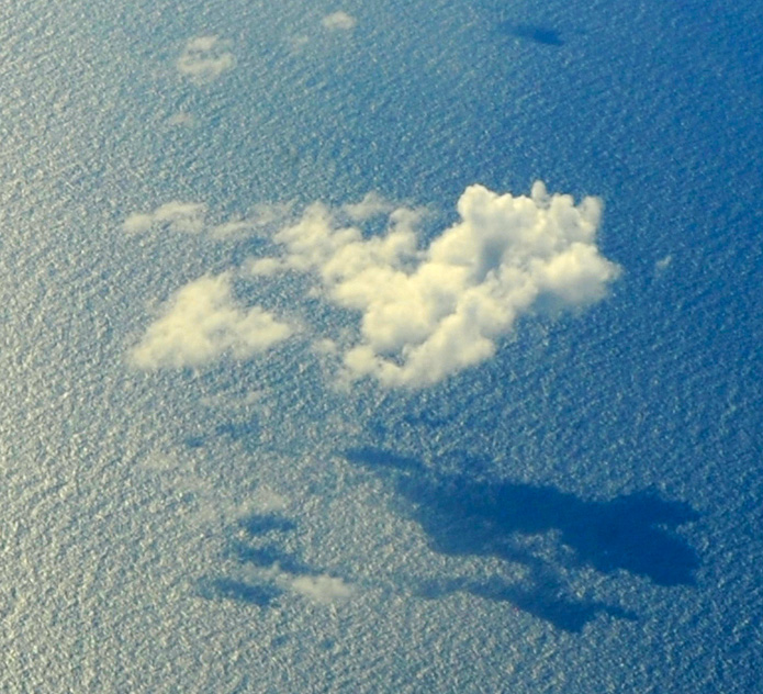 |
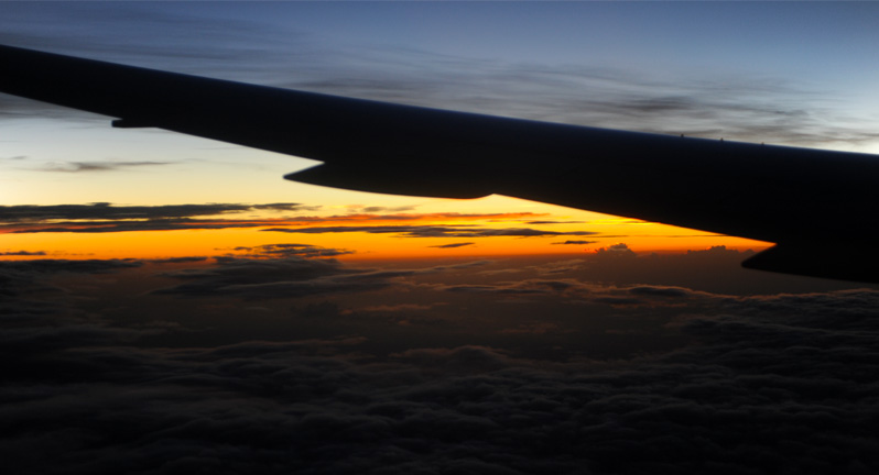
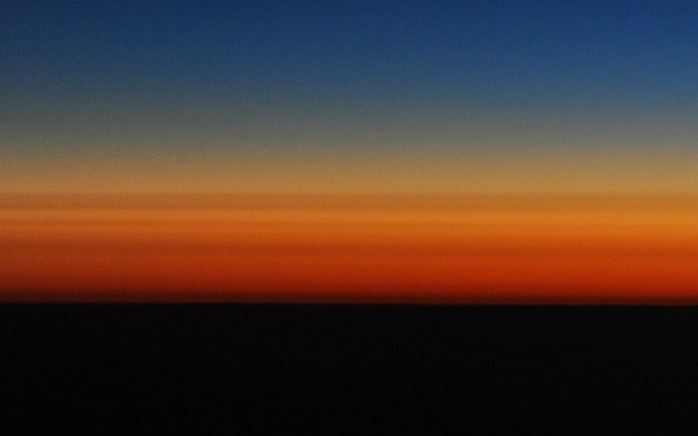 | Our eastward travel hastened the sunset. This was at 7:10pm Honolulu time and 1:10am Atlanta time. Then we saw the sunrise at 20 minutes after midnight Honolulu time and 6:20am in Atlanta. |
I watched a river down through the clouds at 6:30am Atlanta time. | 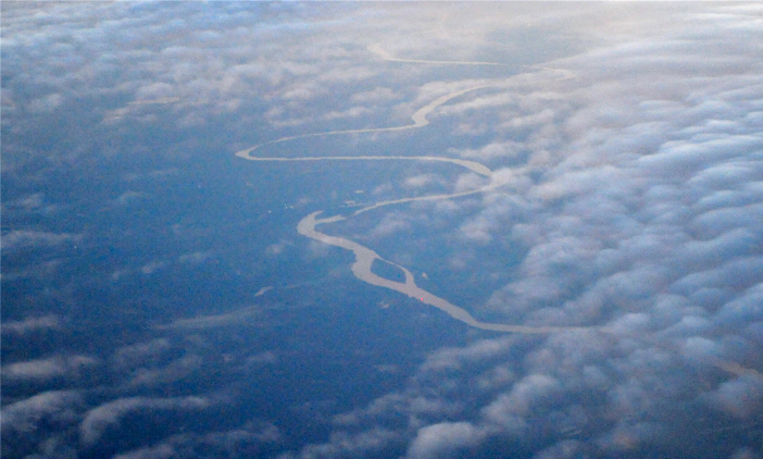 |
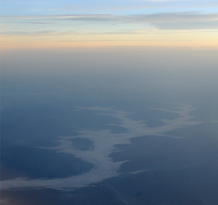 | I watched another river - but no! That's not a river! It is just cloud filling these mountain valleys. There may be a river under the cloud. This was 6:40am and we were on the ground about 7. |
Marty came out to pick us up and we spent a bit of time at the airport for him to visit with Jeff and Darla, who had a later flight to New Orleans. Then Marty brought us home at the end of a memorable trip.
| Summer Activities |
2018