North Rim of Grand Canyon
May 28, 2011
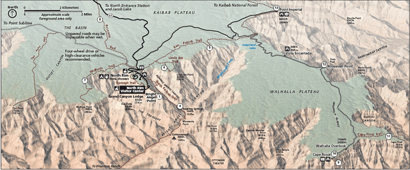
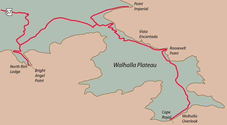
After a sunset visit to the North Rim last night, we spent the night at Kaibab Lodge and came back to the North Rim Lodge this morning for breakfast. This is our day to explore the roads to Point Imperial and Cape Royal. We have not been to those points before, our visits having been limited to the area around the Lodge. (This map courtesy of the National Park Service.)
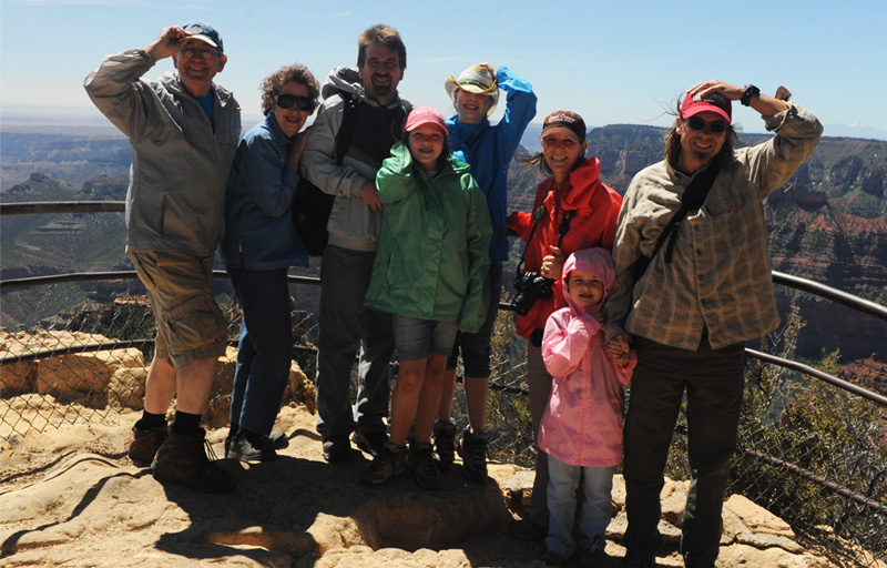
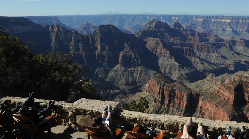
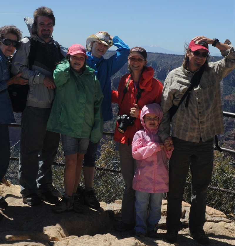
The wind was howling at Point Imperial, so when we went down to the observation position on the point, we all had to hold on to our hats. A nice lady from New Orleans took this picture for us.
 | 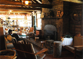 | 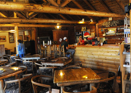 |
We had gotten up pretty early and dropped by the rustic Kaibab Lodge about 7am. It was real log construction with a big fireplace in the main room. There was a log bar, and tables in that area as well as a dining room.
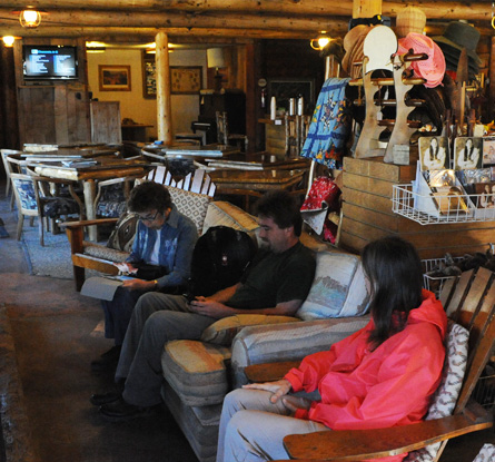 |  The lodge was the only place we got either wireless or telephone service, so we spent a few minutes checking in. We would eat in the dining room this evening and tomorrow morning. |
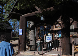
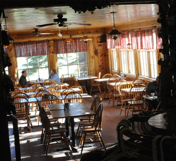
But this morning we decided to try something a bit more elegant and drove the 20-something miles down to the North Rim Lodge for breakfast in the dining room. We arrived about 8am and there was plenty of room in the dining room. This was the view from right beside our table.
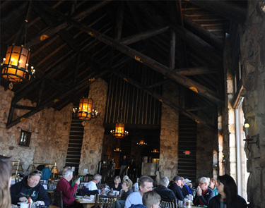 | We enjoyed breakfast in the elegant dining room. I greatly enjoyed all the meals that the eight of us had together. 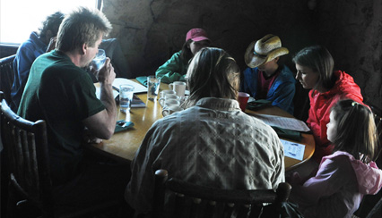 |
After the fine breakfast, we were ready to set out to explore points in the North Rim area that we had not seen before.  |  |
On our previous trip to the North Rim in 1982 and my trip here in 1960, we had taken the mule trip down into the canyon, but otherwise stayed close to the North Rim Lodge and Bright Angel Point. In 1982 we had explored Widforss Trail, but were told we were too early for the wildflowers this year. So we set out to explore the roads to Point Imperial and Cape Royal, driving first to Point Imperial.
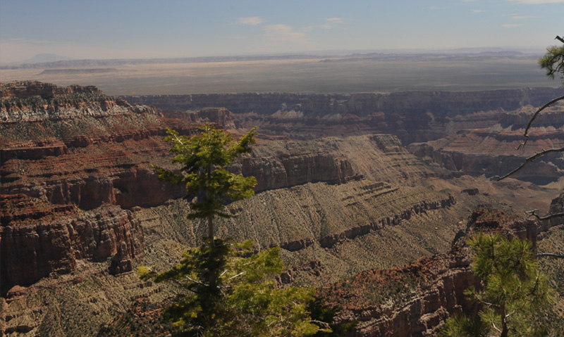
Northeast View
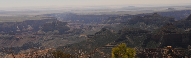
From the vantage of Point Imperial you can look along the Colorado River canyon to the northeast. In the distance you can see the Vermillion Cliffs on the left and the Echo Cliffs on the right of the canyon. The canyon is called Marble Canyon at that point, and it is the first practical point to bridge for a road. Looking at the width and complication of this canyon, it is clear why there are no other roads across this region. From the 8803 ft altitude of Point Imperial, you have a good viewpoint and I was amazed at this distant view. Rough scaling on the map gives a 40 mile distance from Point Imperial to Marble Canyon.
Southeast View
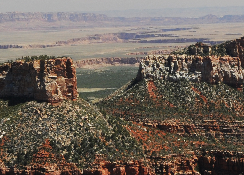
This is also a remarkable canyon view in light of what we had learned about the Grand Canyon complex. It shows the side canyon that peels off the main Colorado River canyon and travels southward and then east near Hwy 64. We had a look at that point on the canyon yesterday morning. The point where we looked at it is about 30 miles as the raven flies. Also remarkable is that you can see the strange flat-topped hump in the desert near the right of the picture. We saw that from Desert View.
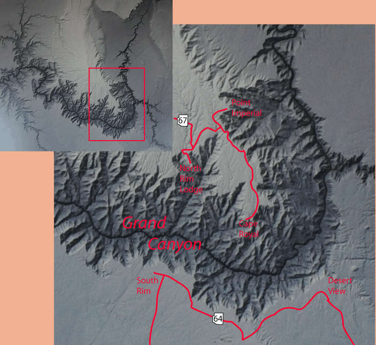
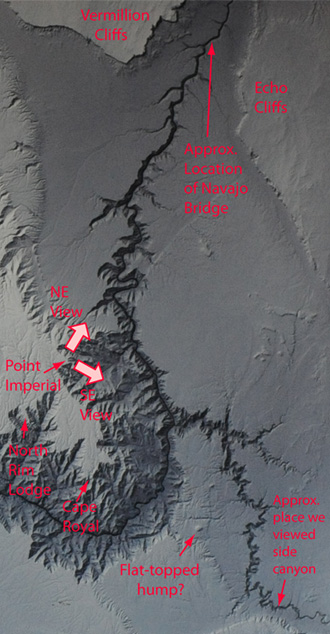 | At left is an attempt to locate the places we have been since we left the South Rim. They are placed on a section of the satellite photo we saw on the South Rim. 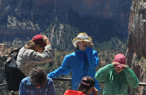 Point Imperial was a great viewpoint, but you had to hang onto your hat. The wind was gale force and it was even some effort to walk against it. The ranger told us that they had closed the whole area last week because the winds were so strong. We could believe it! 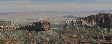 |
It was a beautiful morning and even the strong wind was exhilirating. But we were glad we had brought our jackets! Notice the San Francisco Peaks of Flagstaff poking their heads up just above ours.
This is the view slightly to the north of east. You can see that once the Canyon stops, you have mostly flat desert for 30 miles or so. We had driven northward on Hwy 89 almost through the middle of this flat area.
| North Rim to Bryce Canyon |
2011